Constantine (0*): Huge and Wild
at 7.20 a.m.
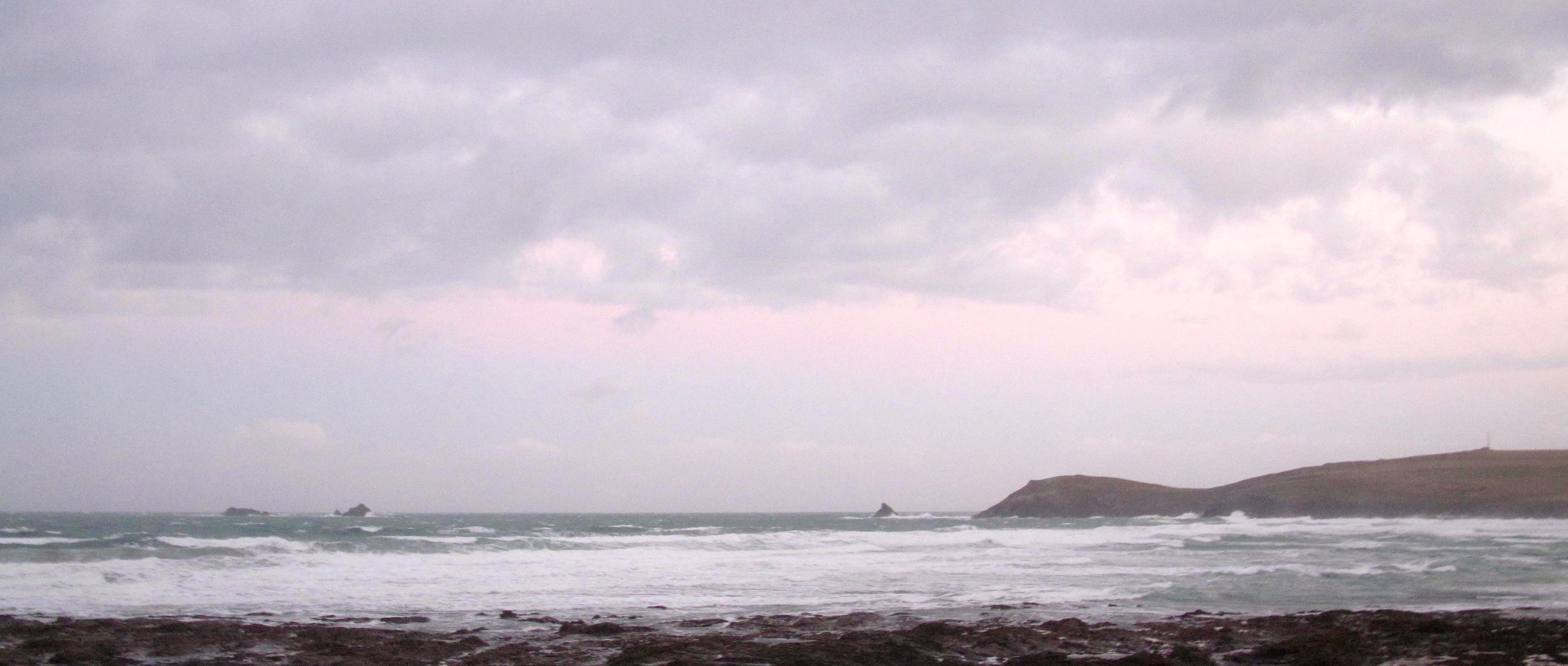
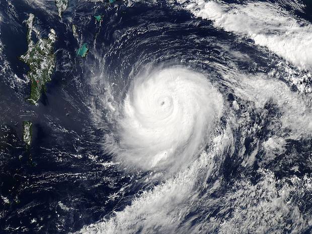
It’s a wild and woolly one out there this morning as what’s left of Hurricane Gonzalo barges its way past us. I’m guessing that we’re just getting the mild remnants in reality.
But there are fiftyish plus mph winds flattening the grey, grey swell lines and herding those white sea horses into wild groups of angry surges – you’re best off avoiding any contact with that angry sea here today!
Unless of course you’re the sort of person that comes alive on days like this!
But those guys are mainly somewhere else, Nazare, on the tip of Portugal, or Belharra maybe, relatively tucked away in the Basque country. The local guys are taking off for the long drive north to the bonnie, bonnie banks of Thurso and even further.
We await their tales of derring do!
In the meantime, we’re not going to get anywhere near the surf here today and that’s okay. There are likely to be breaks on the far coast that might just come alive today but let’s have little look at Harlyn to see what’s going on there this morning!
By the way, don’t forget that we are clearing out loads of summer wetsuits. We have rails of them from generally around 30, 40, and even 50% off, starting from £50.
That’s Xcel, O’Neill and Alder with only one or two quikky suits left.
So, if you’re around the area this week, it might be worth having a little look-see!
Harlyn (0*): 3 to 4 feet
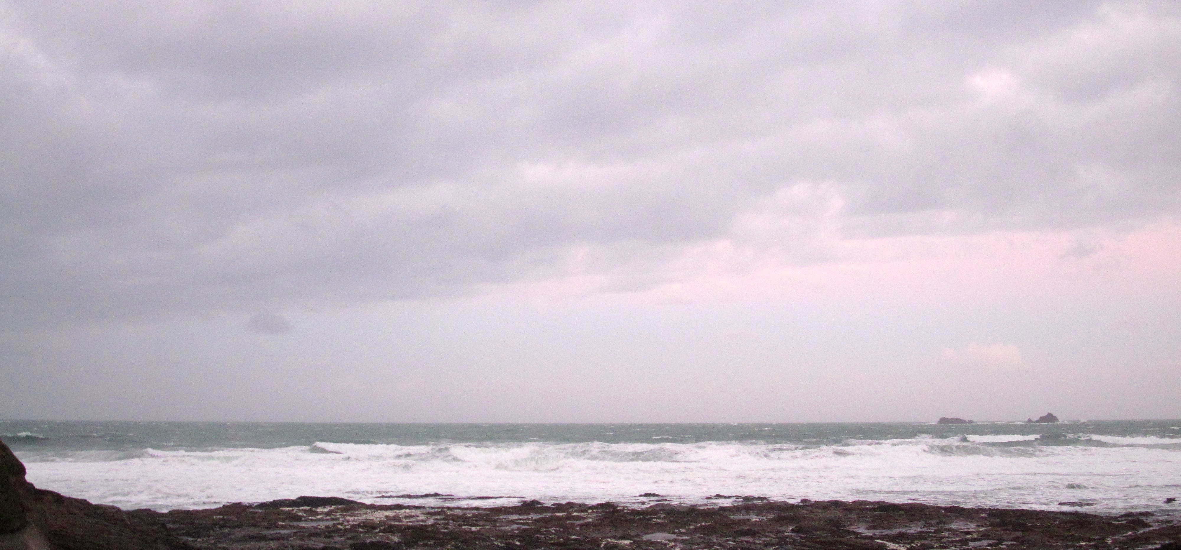
Nah, it’s pretty blown here this morning too!
The wind is hurling itself across the bay at 50 or 60 mile an hour and with quite a bit of force too. And so the surf is a blown out and raggedy mess of mixed up waves with no focus. Strangely enough it’s not that big either, although that might change as the day goes along!
It could be day off today, unless you want to travel or are keen on taking a pretty strong drubbing in order to get a very short ride or two!
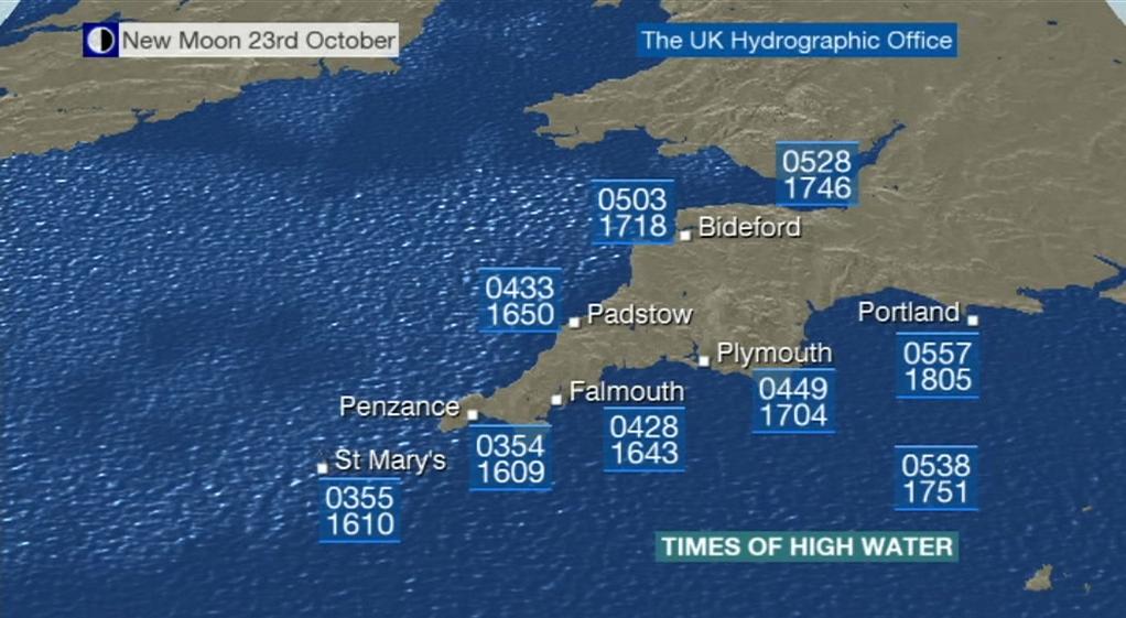
Today’s Tide Times:
Low Tide: 10:55 (1.8m) High Tide: 16:50 (6.8m)

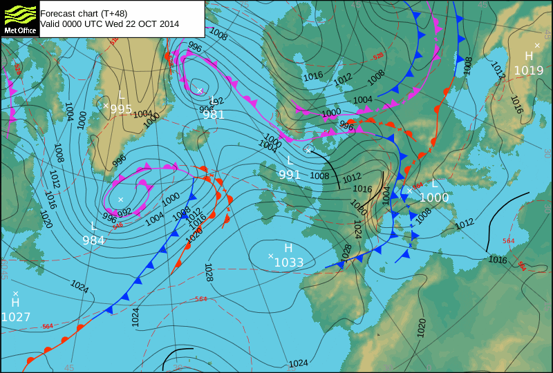
Surf Forecast for Wednesday 22nd October 2014
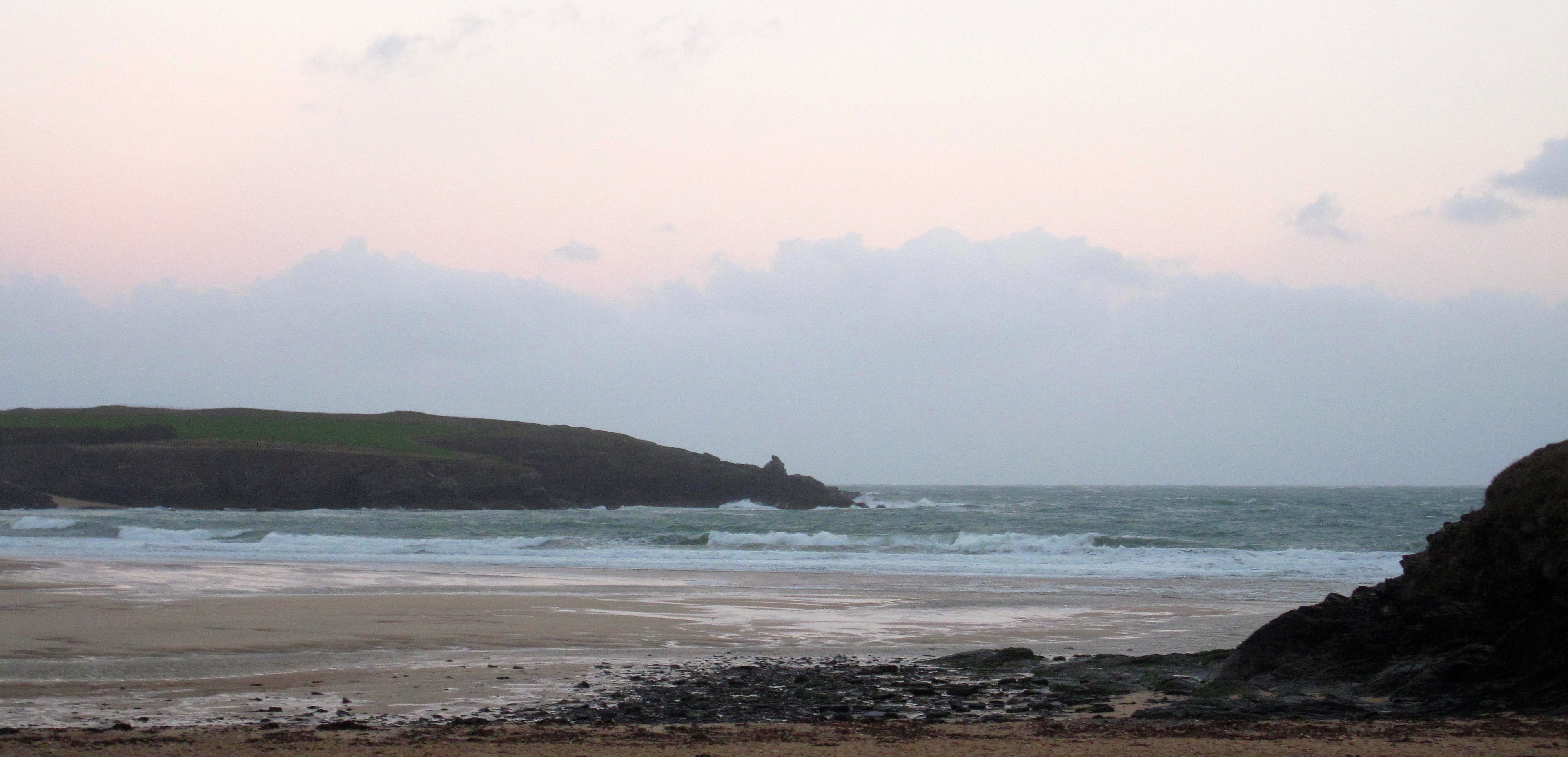
The surf is likely to have dropped a lot and so too the wind. But it is still likely to be onshore!
So it looks like a three foolish day at Constantine, all mixed up and sloppy but probably quite strong too, while Harlyn is likely to be only a couple of feet, still quite sloppy and choppy too but maybe not quite as out of control as Tuesday.
Maybe.
So, it looks like it might be another day to have a wander further afield, the far coast or even further. There should be cleaner conditions over there but whether the swell can reach around is another question.
Even with all that modern technology at our disposal, we will still have to wait and see today!
Surf Conditions for the Start of the Week
It’s looking like we are in for another week of pumping waves but with those wandering winds too.
That same six to eight foot swell that we have been enjoying all last week has carried us into the start of this week and now the leftovers of that hurricane are squirting across the north Atlantic, slingshotting some more thick and solid swell our way as a result.
And so it’s down to the wind, as always, to determine where and if the waves will break.
Around here it’s pretty easy to determine; when it’s big and south westerly then Harlyn is our spot, if the wind slides too far westerly or even north westerly then the far coast is the place to aim for but if the wind is from the south, through east all the way to north, then our main beaches open up.
After saying all that, it does look like a Harlyn week ahead, although the wind might be strong even for there for a wee while through Tuesday and maybe into Wednesday!
Some bigger and bumpier waves are likely to be bursting onto the beach through midweek, gradually easing in size but hopefully cleaning up a little as we go towards the back half of the week.
Have a great week, wherever you are and whatever you’re doing!