At 6.15 a.m:
Constantine (1*): 2 to 3 feet
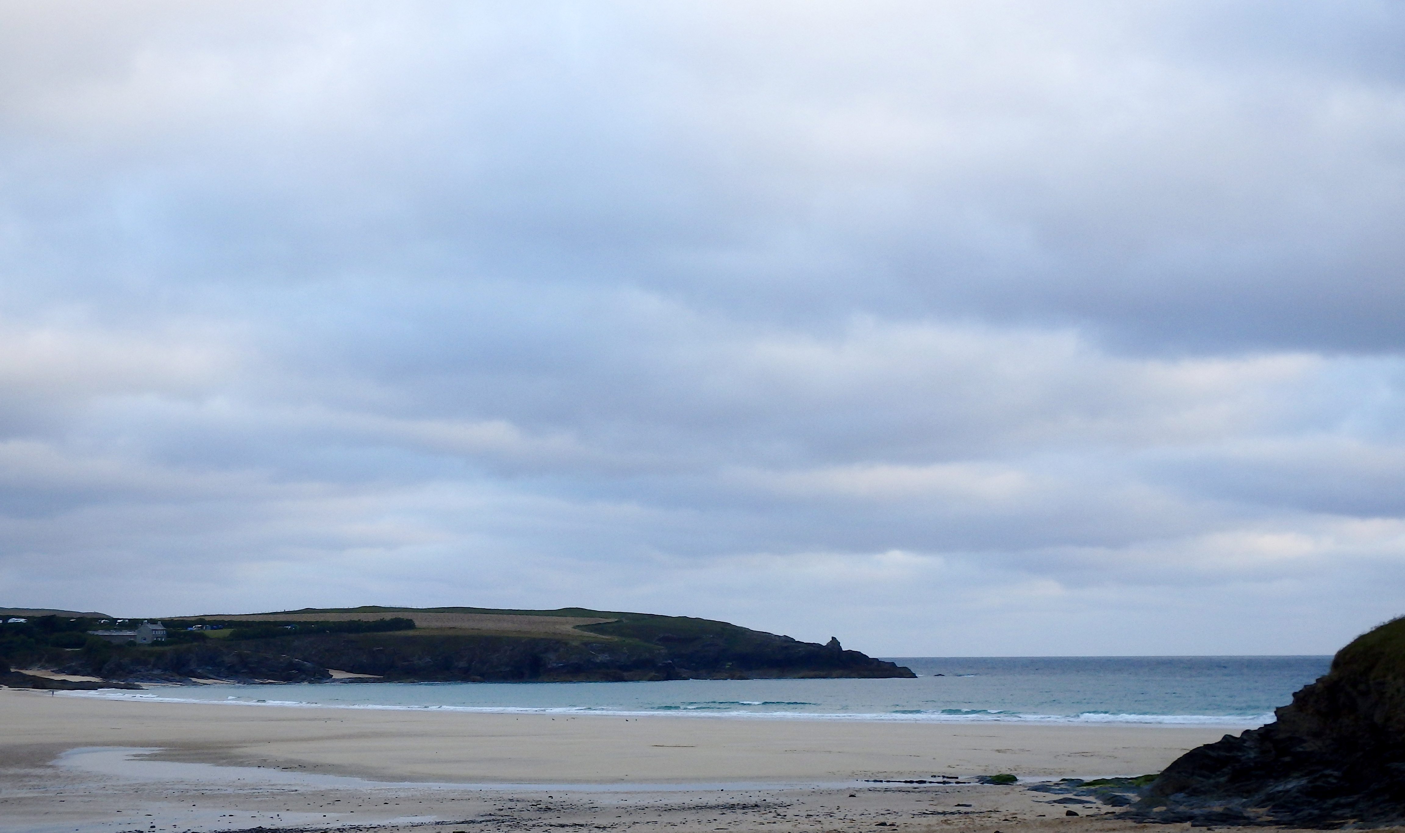
It’s another overcast and breezy one, the skies mainly blocked by lots of grey, the temperatures lower than we would choose and the threat off some wet stuff not too far away.
But there are a few slivers of bright sunshine piercing through those thick cloud banks and it is just about staying dry so far, while that wind has shifted to a milder westerly direction. This could all adad up to a possibility of better things to come, maybe.
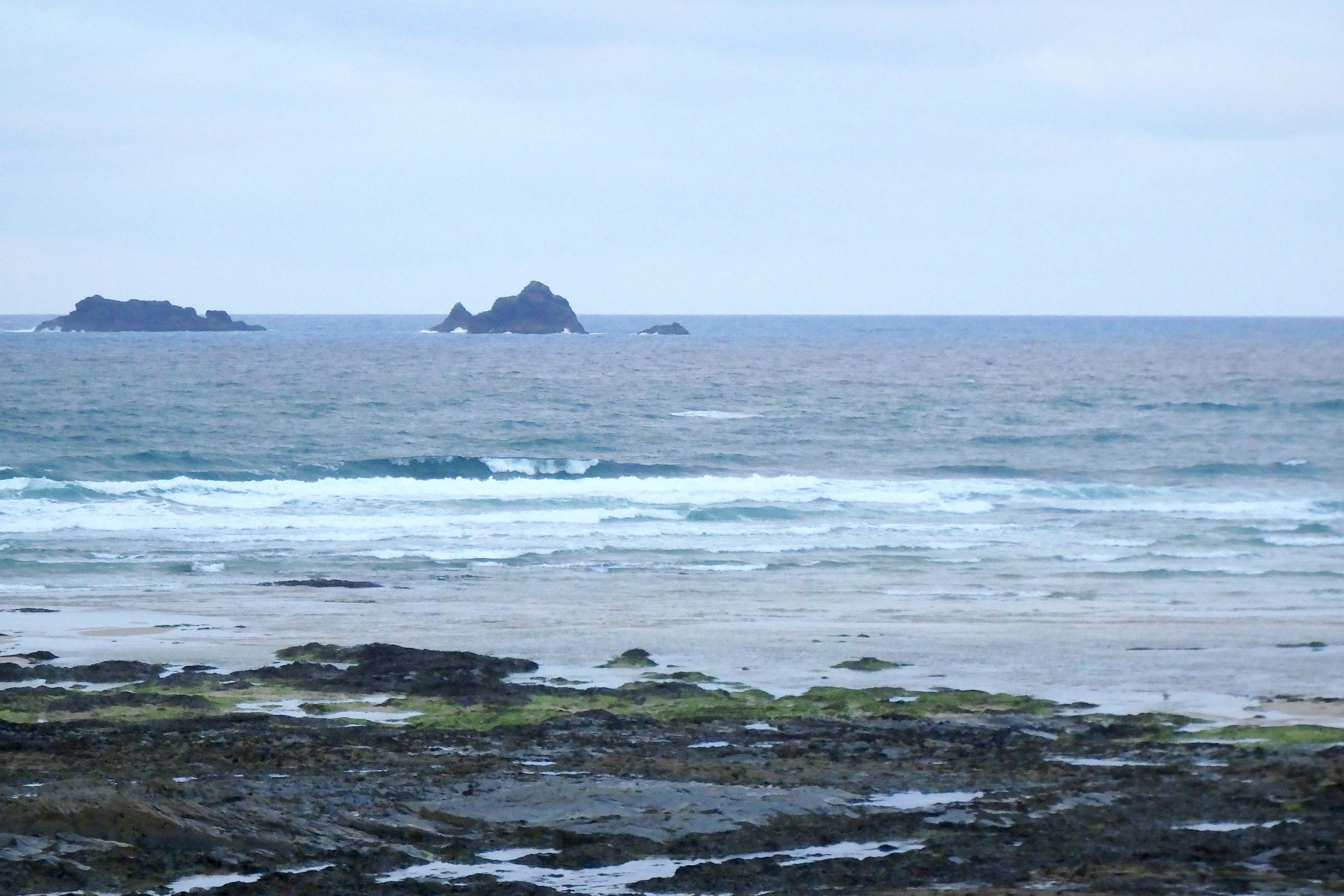
In the meantime the surf is pretty small and pretty choppy. A couple of feet of windslopped windswell is lazily rolling shoreward, the odd bumble of a bigger one pushing onto an odd sandbar here and there but there’s nothing organised about any of it.
At least the water is warm though and it’s not absolutely flat, so it should be worth getting in there at some stage, probably later on this morning.
Harlyn (1*): 0 to 1 foot
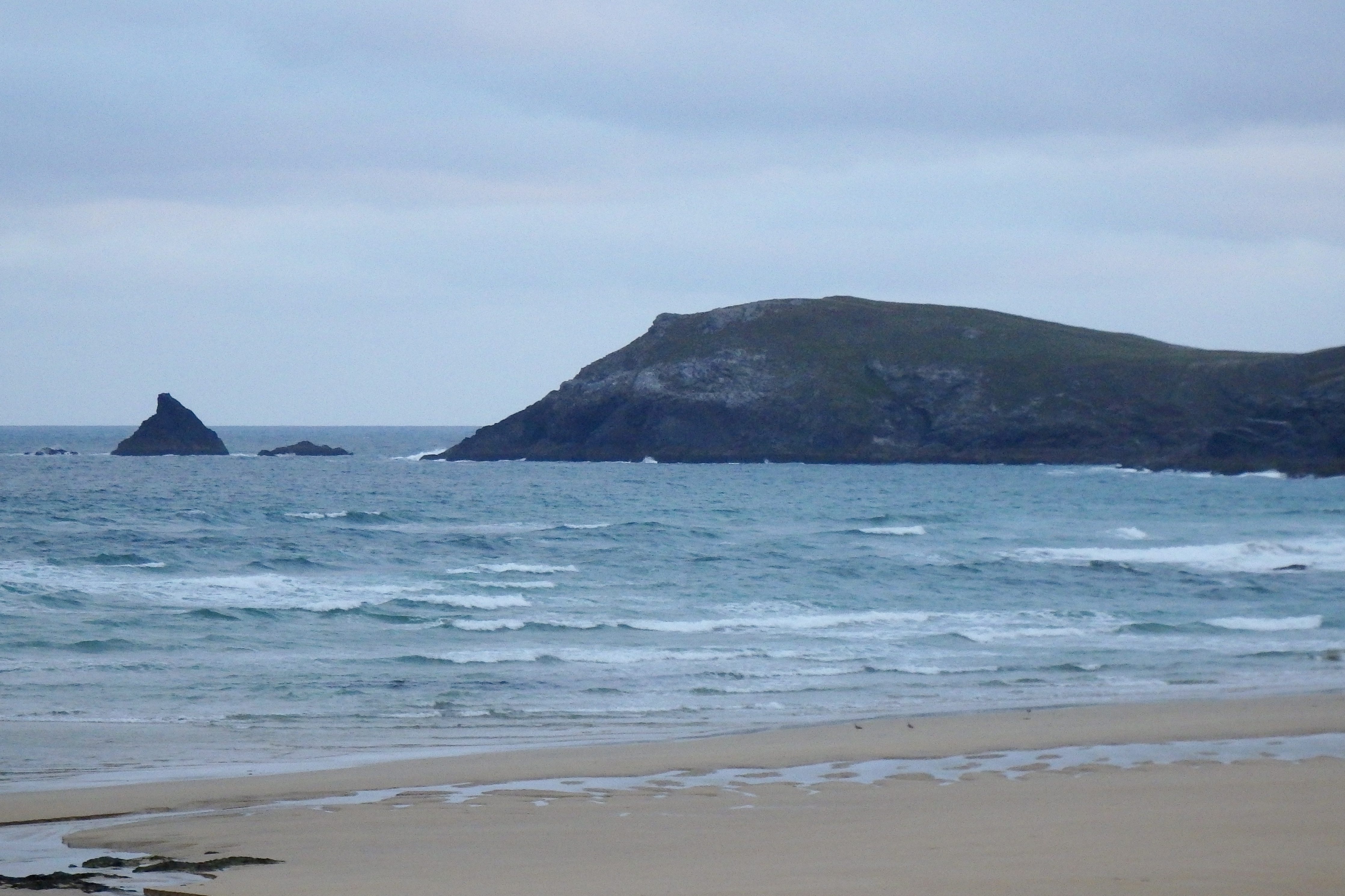
There are some tiny little waves washing onto the sand an hour or so off low tide, still a little choppy and sloppy, that westerly wind being too westerly for Harlyn just yet but better than it has been with those north westerlies!
So we might just see some small, longboardable ones as the tide slides slowly in to a very low 5.5meter high at lunch time.
It’s not great but we might enjoy a little one later!
Today’s Tide Times:
Low Tide: 19:14 (2.8m) High Tide: 12:43 (5.5m)

Surf Forecast for Saturday 13th August 2016
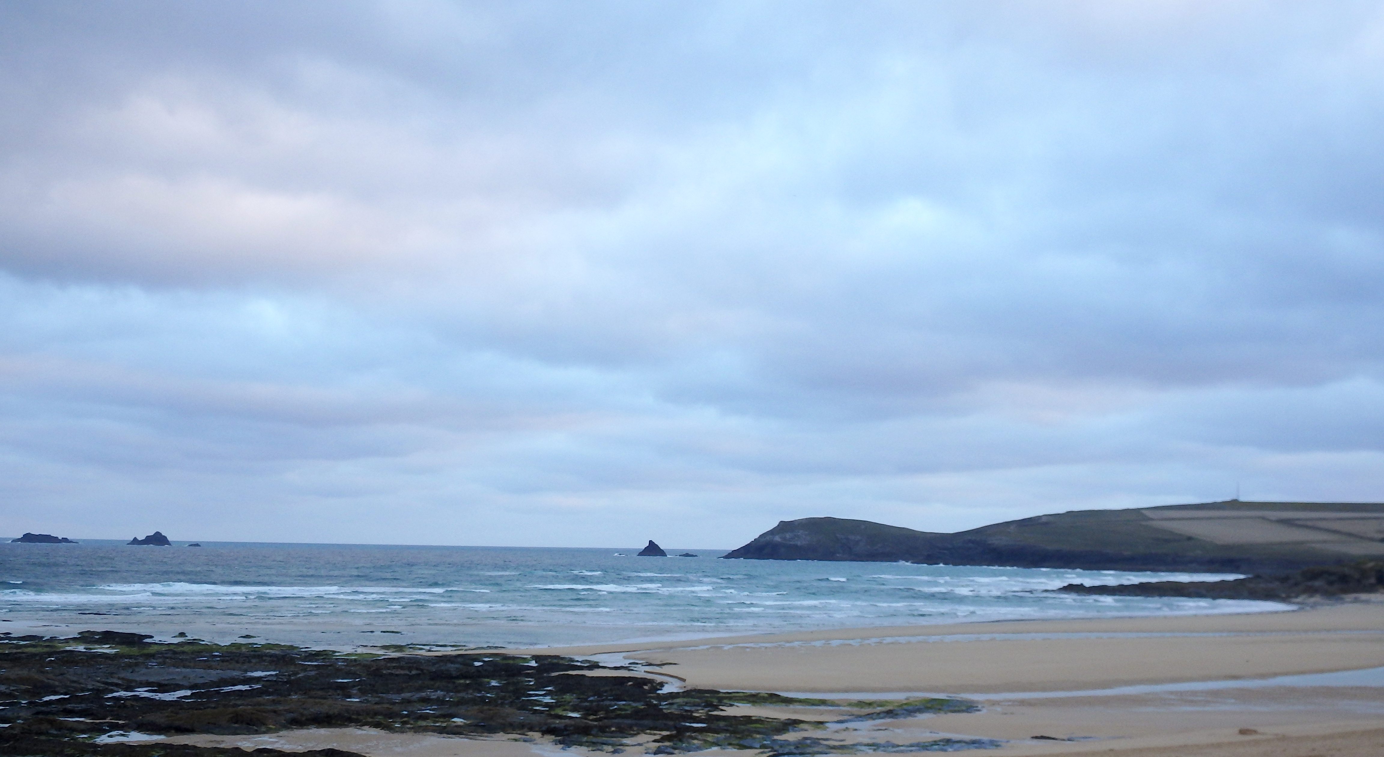
Light, light winds and a drawing out swell are being predicted for today!
Two to three feet of double digit wave-period swell should be pushing our way today, our first proper little swell for some time! Conditions are likely to remain a little sloppy as the breeze persists onshore, lighter than it has been but still there.
It could just end up being okay though!
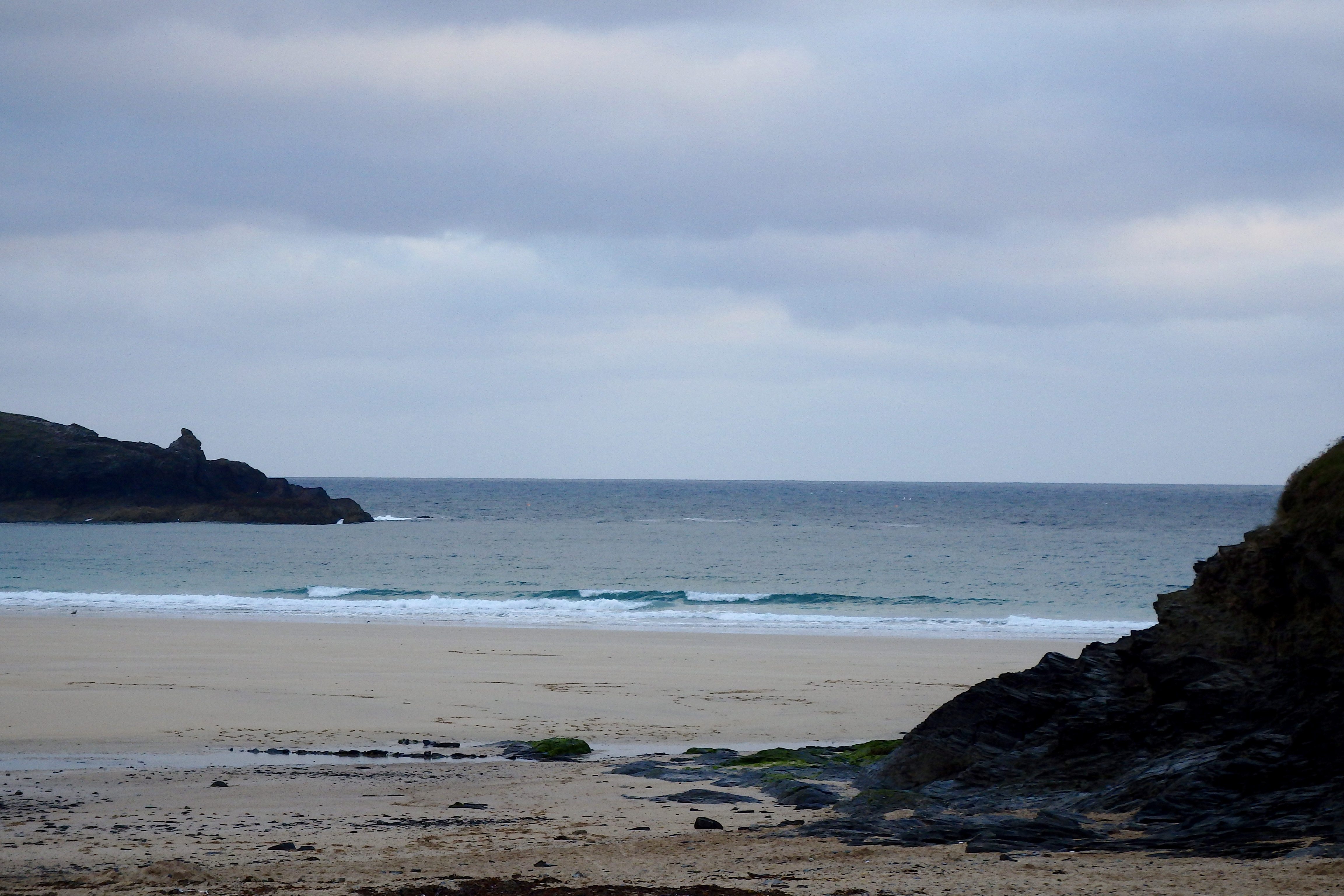
Surf Conditions for the Weekend
A pleasant weekend lies ahead with light onshores set for Saturday, gently blowing along a couple of feet of sloppy but fun surf. By Sunday the breeze should have settled more to the east, offshore at all of our main surf breaks, while a little pulse of swell should be finding its way to those same breaks as that breeze becomes kinder.
The skies should brighten a lot as we go through the weekend too, promising bright and beautiful conditions all along the coast by Sunday morning and hopefully lasting for at least a few days!
So, at last we might just be enjoying a very pleasant and fine weekend with at least some fine weather and some clean surf too!
Have a great weekend wherever you are and whatever you’re doing!
SJ’s Surf Forecast for the SW
Forecast last updated at 08:00 Friday 12th August 2016
Hi everyone – these updates are currently made at any time of the day as and when I get the time/chance to update – however from September the intention would be for it to be updated every weekday morning by 10am.
[Don’t forget to look at this forecast the day before you go beach for the latest, as things can often change!]
The Rest Of The Week:
‘A return to more ‘Summery’ conditions as the swell gets smaller.’
Sunrise and sunset – 06:05 and 20:45
Twilight starts and ends – 05:30 and 21:20
Midday – 13:25
Length of day – 14:40
Offshore Sea Temp approx – 17C / 62.5F
outputmodelrun-120816-0800
Monday 8th:
‘South coast will have a small but clean wave. The North will still be big (decreasing in size throughout the day) but will be onshore.’
Swell – (i) Strong W
Wind – Medium going Light-Medium NW
Weather – Fresher day with mixture of cloud and sunshine. Dry.
North Coast – 6-8ft (Overhead) going 4-6ft (Chest-Headhigh)
South Coast – 3-4ft (Waist-Chesthigh) going 2-3ft (Knee-Waisthigh)
Tides – 09:18 High, 15:34 Low
Tuesday 9th:
‘The swell drops right off today. Onshore on the North, and for the south you best get out for a dawnie before the hightide for a longboardable wave at the main spots.’
Swell – (i) OK W-WNW
Wind – Light-Medium going Medium N-NW
Weather – Cooler Northerly wind to start the day with, but soon warming up with a mixture of cloud and sunshine. Dry.
North Coast – 4-6ft (Chest-Headhigh) going 3ft (Waisthigh)
South Coast – 1-2ft (Kneehigh) going 1ft
Tides – 09:53 High, 16:09 Low
Wednesday 10th:
‘Onshore windslop for the North, and near enough flat for the south.’
Swell – (i) OK going Weak W-WNW
Wind – Medium NW
Weather – Mixture of cloud and sunshine. Chance of some light rain.
North Coast – 3ft (Waisthigh)
South Coast – 1ft
Tides – 10:35 High, 16:52 Low
Thursday 11th:
‘Small onshore slop for the North; flat for the south.’
Swell – (i) Weak W-WNW
Wind – Medium WNW
Weather – Mixture of cloud and sunshine. Dry.
North Coast – 2-3ft (Knee-Waisthigh)
South Coast – 0-1ft
Tides – 11:26 High, 17:50 Low
Friday 12th:
‘Same as Thursday – small onshore slop for the North; flat for the south.’
Swell – (i) Weak WNW
Wind – Light-Medium W going Medium WSW
Weather – Mixture of cloud and sunshine. Dry.
North Coast – 2-3ft (Knee-Waisthigh)
South Coast – 0-1ft
Tides – 06:30 Low, 12:37 High, 19:13 Low
Weekend Summary:
‘Not a great weekend for surf – enough for beginners though. Sunday should have a clean but very small wave.’
Saturday 13th:
‘Small wave with light onshores.’
Swell – (i) OK WNW going W-WNW
Wind – Light-Medium WSW going Light NW
Weather – Cloudy but mostly dry.
North Coast – 3ft (Waisthigh)
South Coast – 1ft
Tides – 07:56 Low, 14:01 High, 20:34 Low
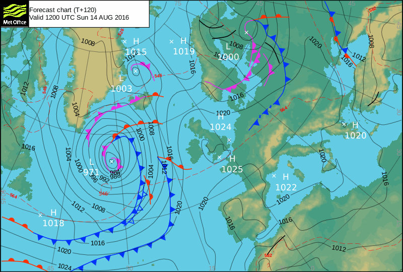
Sunday 14th:
‘Wind could go light leaving a small but clean wave – best on a longboard to catch those small peelers!’
Swell – (i) Weak W
Wind – Light Variable going NE
Weather – Cloudy start, but turning into a bright and very sunny day.
North Coast – 2-3ft (Knee-Waisthigh) going 1-2ft (Kneehigh)
South Coast – Flat
Tides – 09:08 Low, 15:10 High
Early Next Week:
‘Signs are for strong SE winds on Monday veering S during Tuesday, but little in the way of any real swell on Monday. However Tuesday should see the start of a new swell beginning to push its way through during the morning around the low tide mark onwards, so it could be worth a look then.’
The scale for measuring conditions:
0-1ft – Unridable/Flat
1-2ft – Kneehigh
3ft – Waisthigh
4-5ft – Chest/Shoulderhigh
6ft – Headhigh
6-8ft = 1-1.5x Overhead
8-10ft = 1.5x Overhead
10-12ft = 2x Overhead
Please Note!
Wave height predictions are based on the larger breaks on both coasts such as Fistral and Croyde for the North, and Praa Sands and Bantham for the South.
Wave height is measured from the front of the wave, and 6ft would usually mean a ‘head-high’ wave.
Try and use some ‘local’ knowledge about what the wave sizes will be elsewhere. For example the Newquay Bay area is generally 1/3 to 3/4 the size of Fistral, increasing the further up the bay you go from Towan to Lusty Glaze, and that it will be clean on a W wind at ‘harbour left’ at Towan at mid-tide’ for example.
Tide times are based on Newquay.
Stay Stoked!
SJ