At 6.20 a.m:
Constantine (1*): 3 to 4 feet.
A brisk westerly wind is keeping temperatures down this brighter and sunnier morning but otherwise it’s a fresh and sharp kind of start, at least holding the promise of a more Summery day ahead!
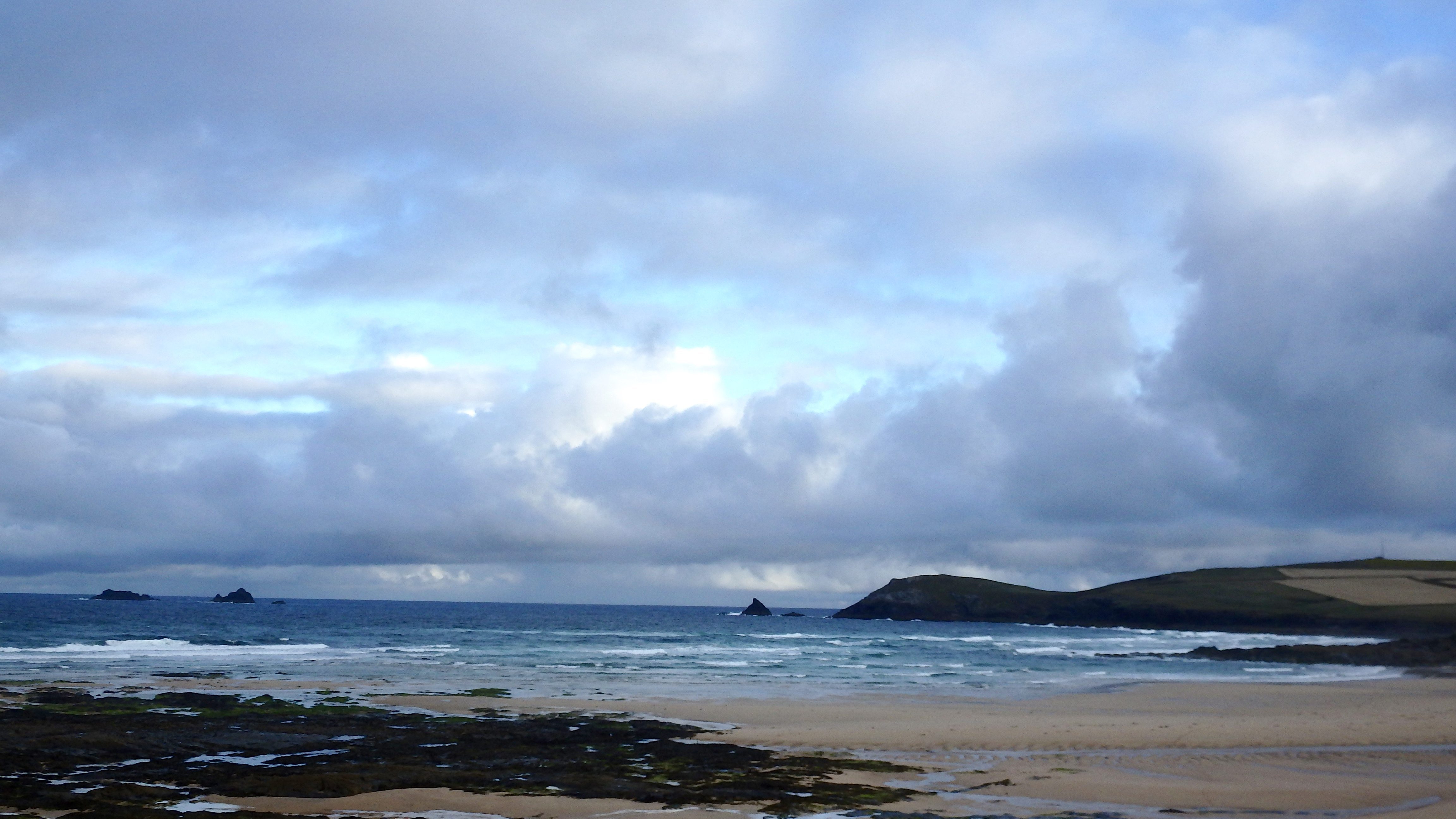
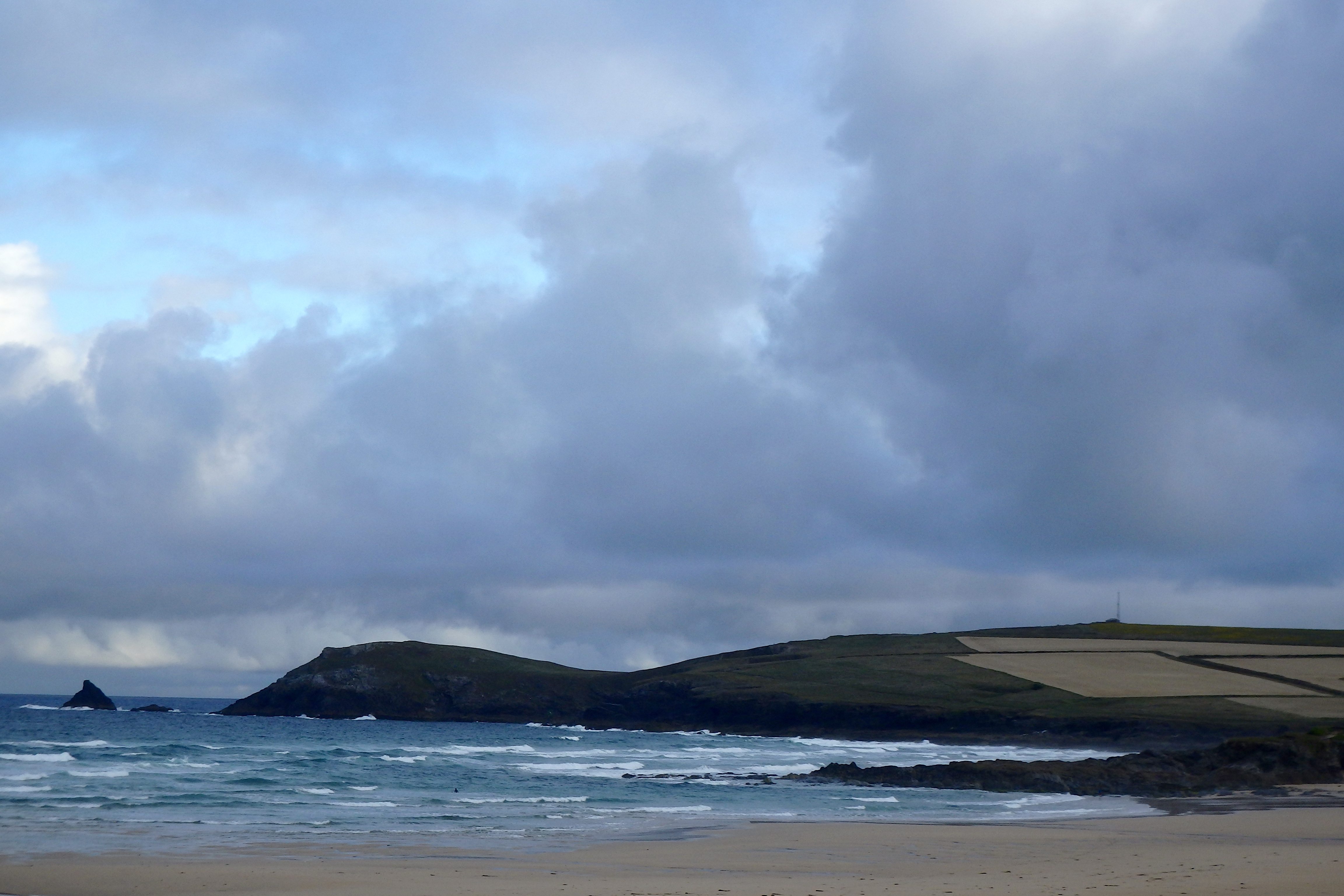
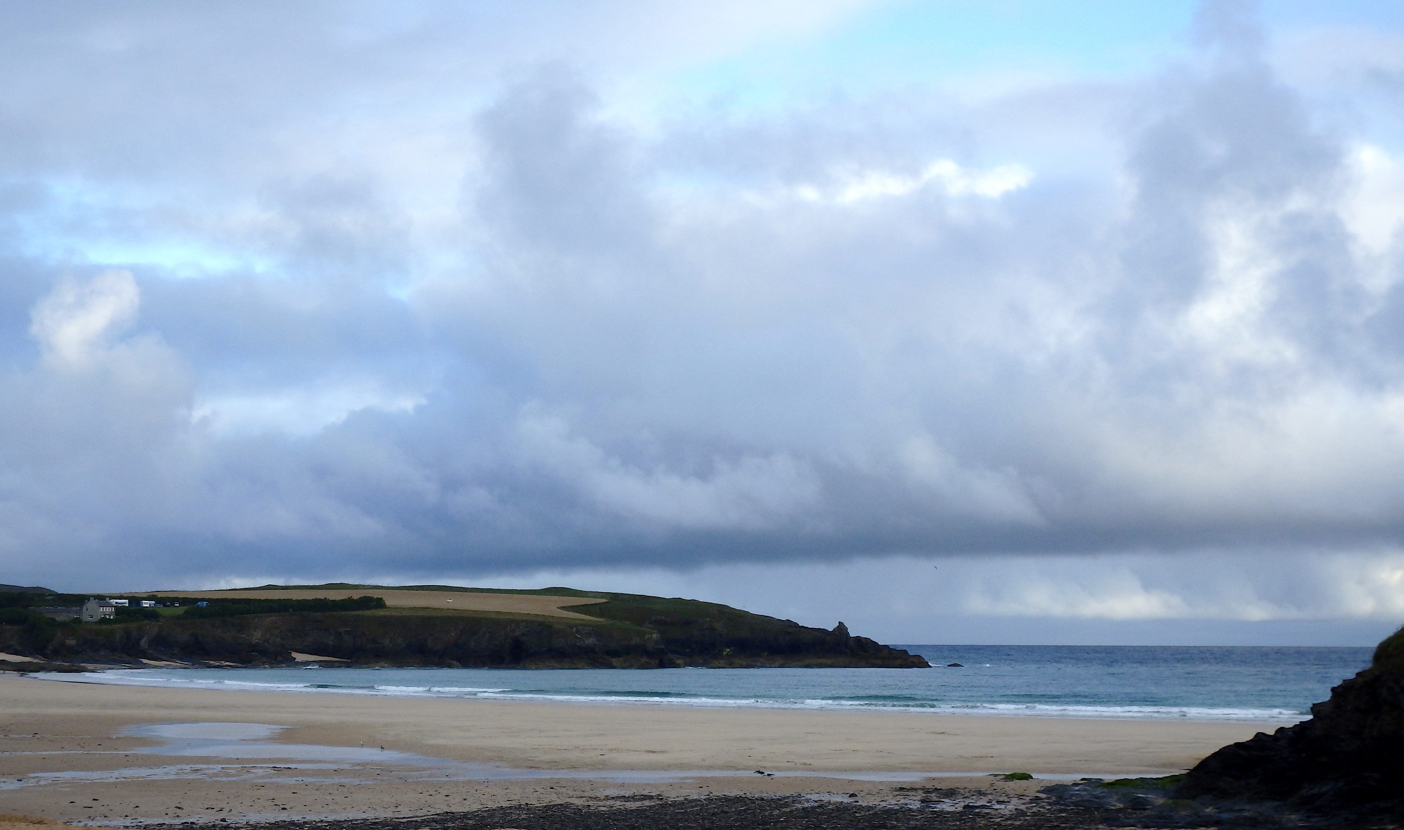
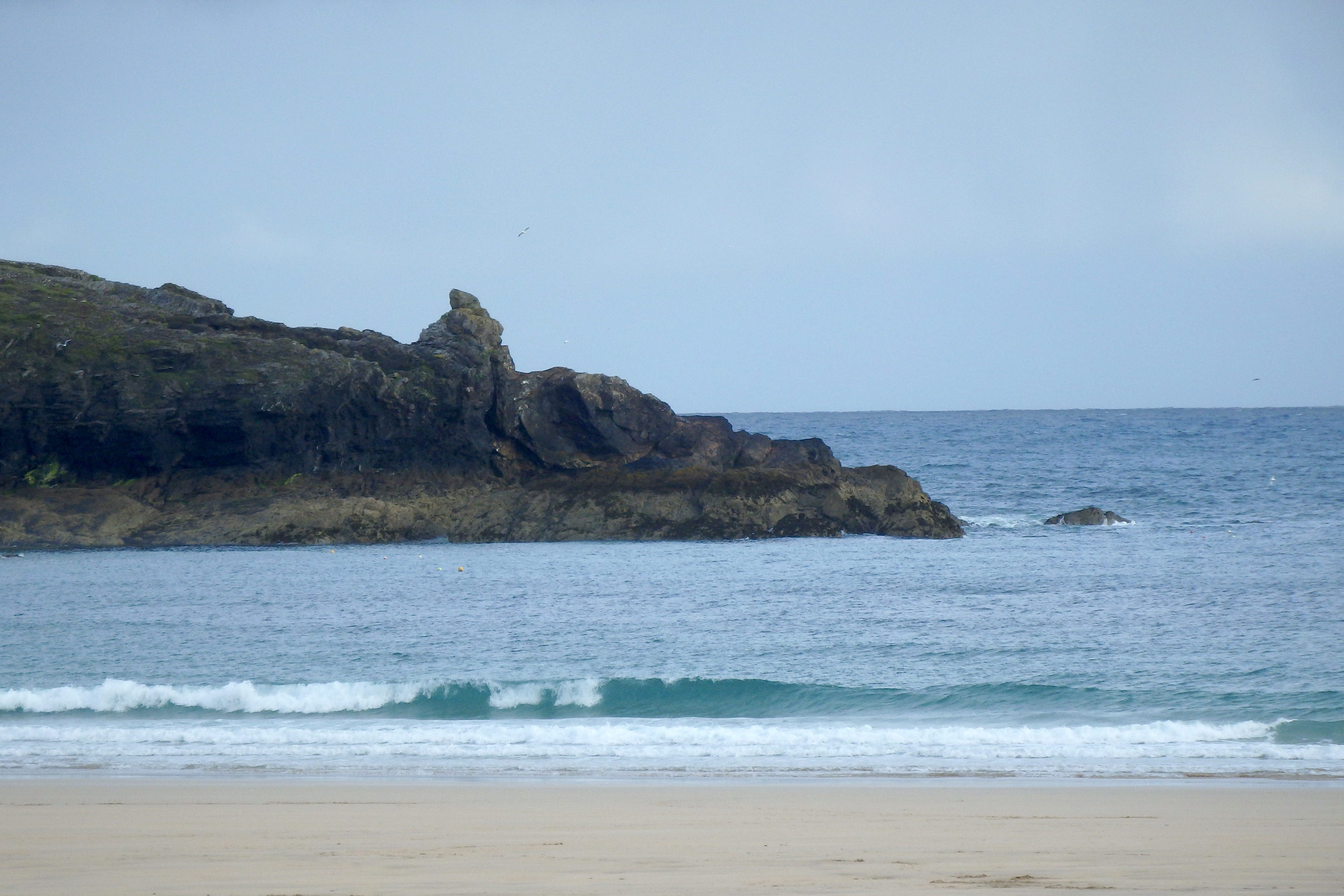
The surf is a mess again this morning, a little bit bigger than the last week or so but still in the three feet range, pushing more to four feet than it has been though. And of course that wind is making a chopped and slopped, mixed up mess of it all, a chilly wave messer of a west north westerly wind but one that is keeping the air fresh and the sky bright, so far.
High tide could be fun with the low neap highs allowing those waves top bounce through the tide.
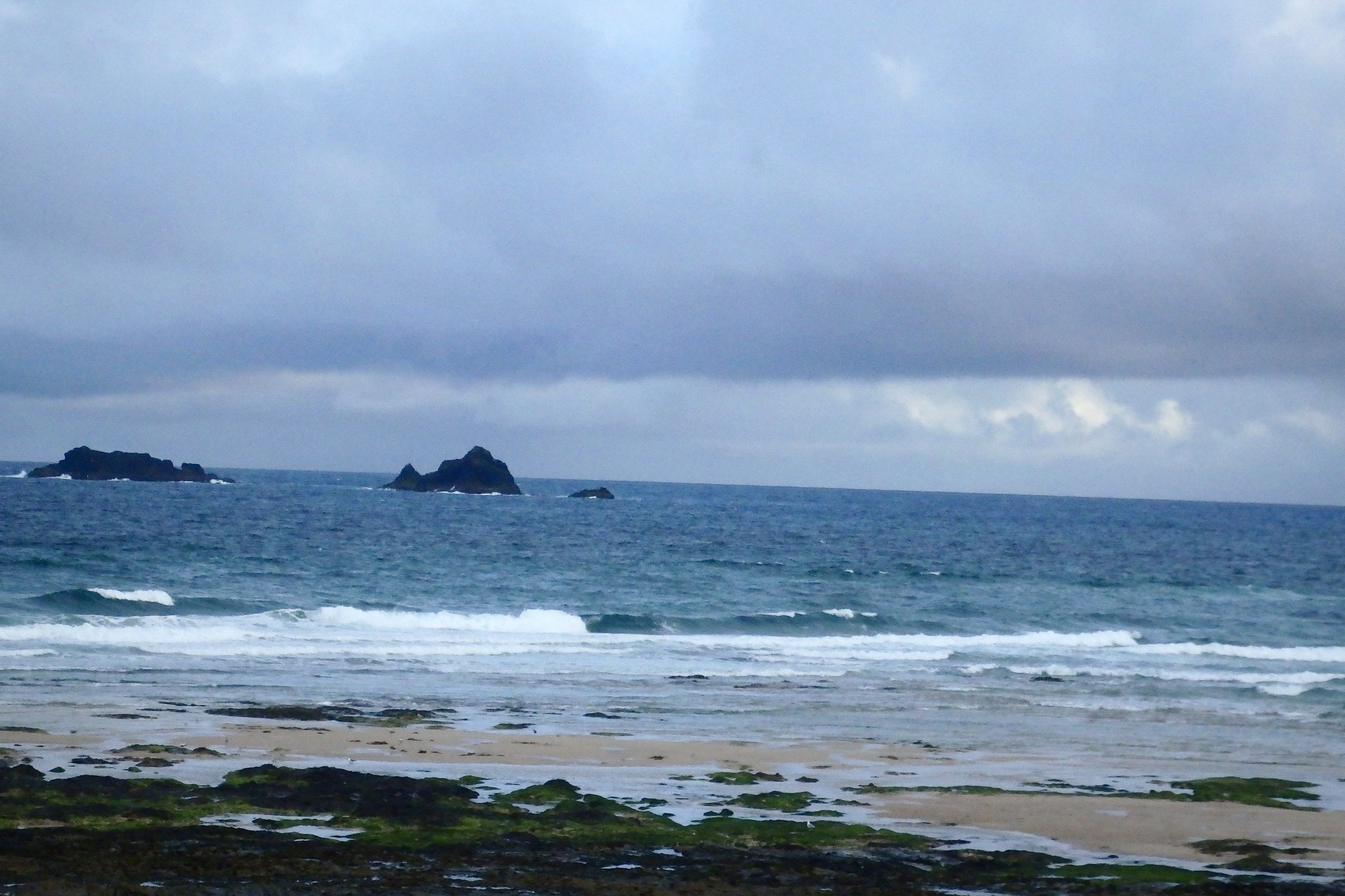
Harlyn (1*): 0 to 1 foot
It is pretty tiny around here this morning, cleaner and sharper than the other side of course but tiny. A foot or so of sparklingly clean and relatively smooth little waves are snapping ashore as the tide hits low making you think that there might be hope for some slightly bigger waves later.
But that is definitely no more than a ‘maybe’ again!
Today’s Tide Times:
Low Tide: 20:38 (2.1m) High Tide: 13:59 (6.1m)

Surf Forecast for Saturday 30th July 2016
Light north westerlies are going to keep the air clear and the surf sloppy today as that same mainly three foot windswell continues to roll our way.
The only saving grace of the last week or tow is that there have been those sloppy and choppy little waves continuing to blow our way, it can often be flat at this time of year!
But today should see more slopped and chopped three foot surf at the main surf breaks with enough bright and cheery, sunny weather to keep most people happy enough!
Surf Conditions for the Weekend
Well at least the weather might improve for the weekend!
Light breezes are set to gently waft our way as we go into the weekend, that same three foot swell continuing to lazily roll our way.
Those breezes are likely to be light enough and mainly from the north west, a chillier direction and not very supportive of the swell, while that swell is likely to be just a continuation of the same close-fetch and fairly weak stuff that we have enjoyed all week.
So, a weekend of mainly fun and playful surf with enough sunshine to resemble summer lies in wait!
Have a great weekend, wherever you are and whatever you’re doing!
SJ’s Surf Forecast for the SW
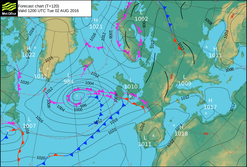
Forecast last updated at 08:00 Friday 29th July 2016
Hi everyone – these updates are currently made at any time of the day as and when I get the time/chance to update – however from September the intention would be for it to be updated every weekday morning by 10am.
[Don’t forget to look at this forecast the day before you go beach for the latest, as things can often change!]
The Rest Of The Week:
‘A fairly consistent / groundhog weak with similar conditions most days with a small swell and onshore winds. Not great in terms of quality, but hey it’s Summer – at least it’s not flat. Enough to get wet behind the ears along with a bit of paddling practise, and have a laugh in the sloppy conditions,’
Sunrise and sunset – 05:45 and 21:10
Twilight starts and ends – 05:05 and 21:50
Midday – 13:25
Length of day – 15:25
Offshore Sea Temp approx – 16.5C / 62F
outputmodelrun-290716-0800
Monday 25th:
‘Small onshore mushburgers.’
Swell – (i) Weak W-WNW
Wind – Light-Medium W-WSW going WNW
Weather – Bright and sunny day.
North Coast – 3ft (Waisthigh)
South Coast – 1ft
Tides – 09:38 High, 16:00 Low
Tuesday 26th:
‘Small onshore mushburgers.’
Swell – (i) Weak W-WNW
Wind – Light-Medium WSW
Weather – Overcast and cloudy, with a chance towards evening.
North Coast – 3ft (Waisthigh)
South Coast – 1ft
Tides – 10:28 High, 16:52 Low
Wednesday 27th:
‘Small onshore slop/mushburgers with an increase in wind strength.’
Swell – (i) Weak W
Wind – Medium going Light-Medium WNW
Weather – Overcast and rainy start, drying out later on in the day
North Coast – 3ft (Waisthigh)
South Coast – 1ft
Tides – 05:25 Low, 11:27 High, 17:52 Low
Thursday 28th:
‘Be careful out there on Thursday – an increase in wind could cause the slop to get a bit bigger/rippy throughout the day.’
Swell – (i) Weak W
Wind – Medium SW going W
Weather – Overcast and rainy start, drying out later on in the day
North Coast – 3ft (Waisthigh) going 4ft (Chesthigh)
South Coast – 1ft going 1-2ft (Kneehigh)
Tides – 06:34 Low, 12:36 High, 19:13 Low
Friday 29th:
‘The opposite of Thursday with ‘surf’ size decreasing during the day. Still onshore sloppy much though.’
Swell – (i) Weak W-WNW
Wind – Light-Medium W going W-NW
Weather – Cloudy with some rain and some sunny spells.
North Coast – 4-5ft (Chest-Shoulderhigh) going 4ft (Chesthigh)
South Coast – 1-2ft (Kneehigh) going 1ft
Tides – 07:52 Low, 13:52 High, 20:32 Low
Weekend Summary:
‘Enough swell for surf schools and learners with small onshore conditions.’
Saturday 30th:
‘Onshores winds throughout for the North (too small for the south), however they should be light enough first thing to make early to mid morning a good time to find an OK cleanish wave.’
Swell – (i) Weak W-WNW
Wind – Light N going Light-Medium NNW-NW
Weather – Bright and sunny!
North Coast – 3-4ft (Waist-Chesthigh) going 2-3ft (Knee-Waisthigh)
South Coast – 1ft
Tides – 09:05 Low, 15:04 High, 21:43 Low
Sunday 31st:
‘Getting smaller. Still a small onshore sloppy wave – get the stand up paddleboards or longboards out!’
Swell – (i) Weak W-WNW
Wind – Light-Medium NW going W-NW
Weather – Bright and sunny!
North Coast – 2-3ft (Knee-Waisthigh)
South Coast – 1ft
Tides – 10:09 Low, 16:08 High (Neap tides)
Early Next Week:
‘More of the same as the last week – small to medium sized waves accompanies by cross to onshore winds.’
The scale for measuring conditions:
0-1ft – Unridable/Flat
1-2ft – Kneehigh
3ft – Waisthigh
4-5ft – Chest/Shoulderhigh
6ft – Headhigh
6-8ft = 1-1.5x Overhead
8-10ft = 1.5x Overhead
10-12ft = 2x Overhead
Please Note!
Wave height predictions are based on the larger breaks on both coasts such as Fistral and Croyde for the North, and Praa Sands and Bantham for the South.
Wave height is measured from the front of the wave, and 6ft would usually mean a ‘head-high’ wave.
Try and use some ‘local’ knowledge about what the wave sizes will be elsewhere. For example the Newquay Bay area is generally 1/3 to 3/4 the size of Fistral, increasing the further up the bay you go from Towan to Lusty Glaze, and that it will be clean on a W wind at ‘harbour left’ at Towan at mid-tide’ for example.
Tide times are based on Newquay.
Stay Stoked!
SJ