At 6.50 a.m:
Constantine (1*): 2 to 3 feet
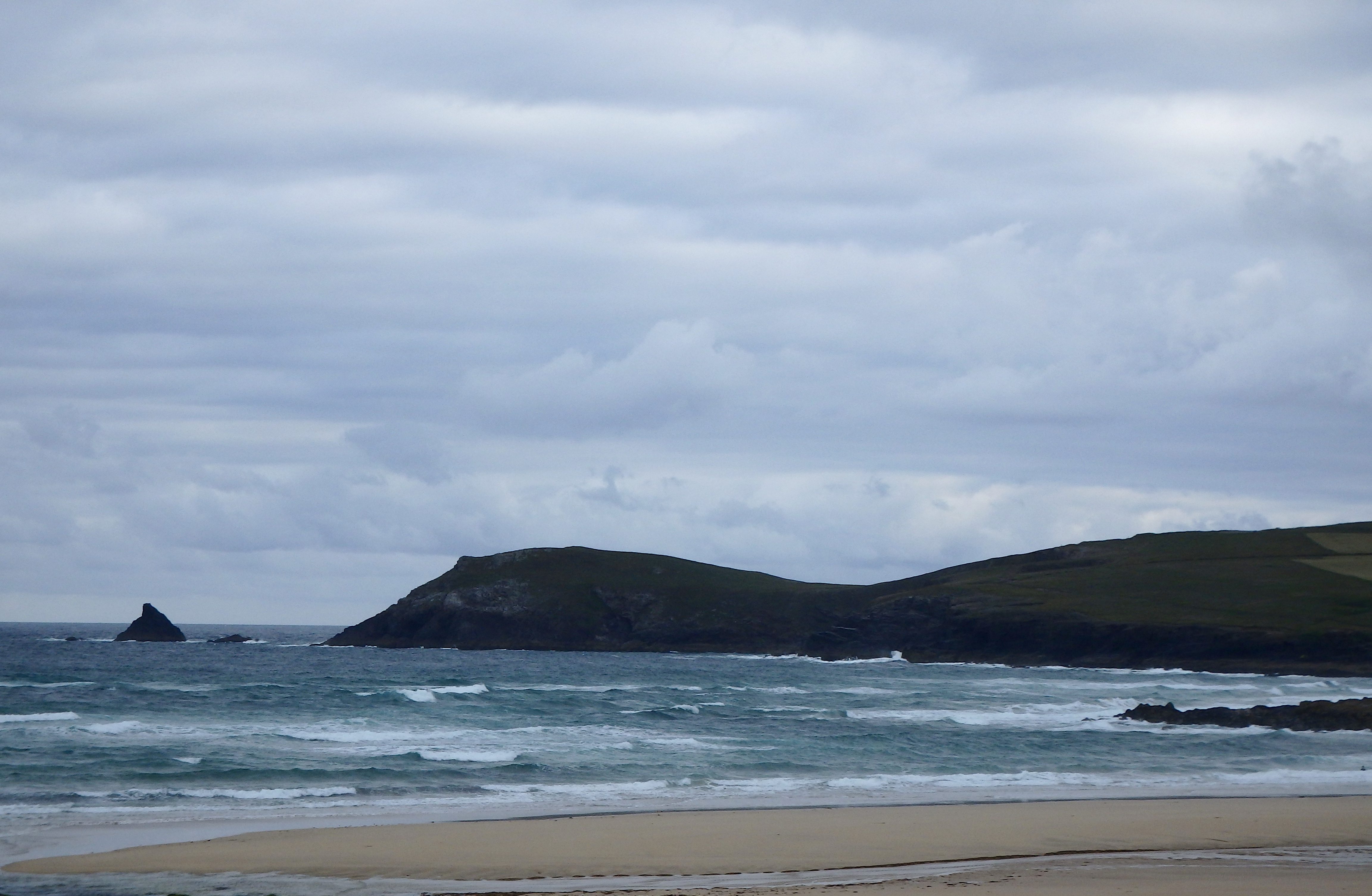
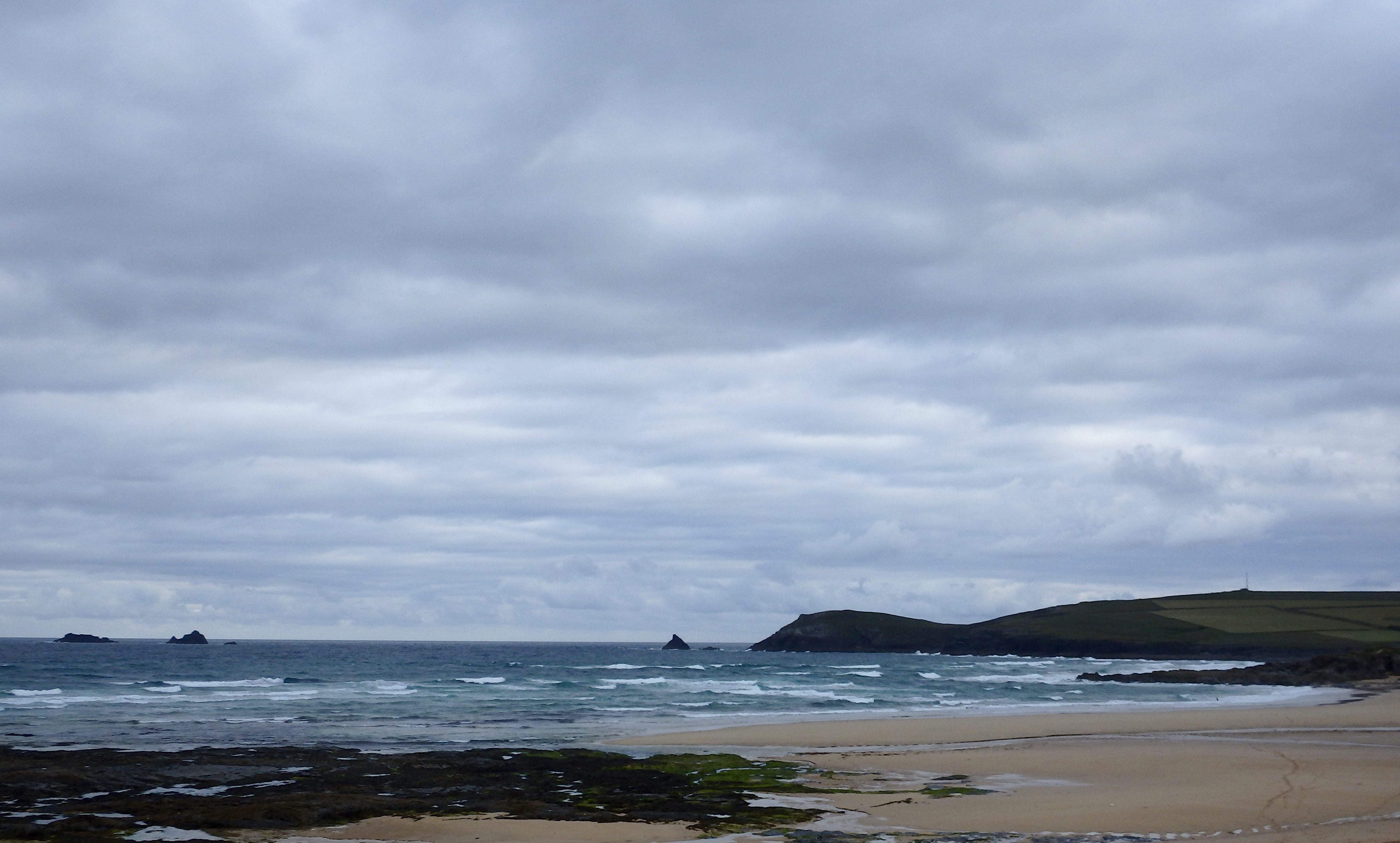
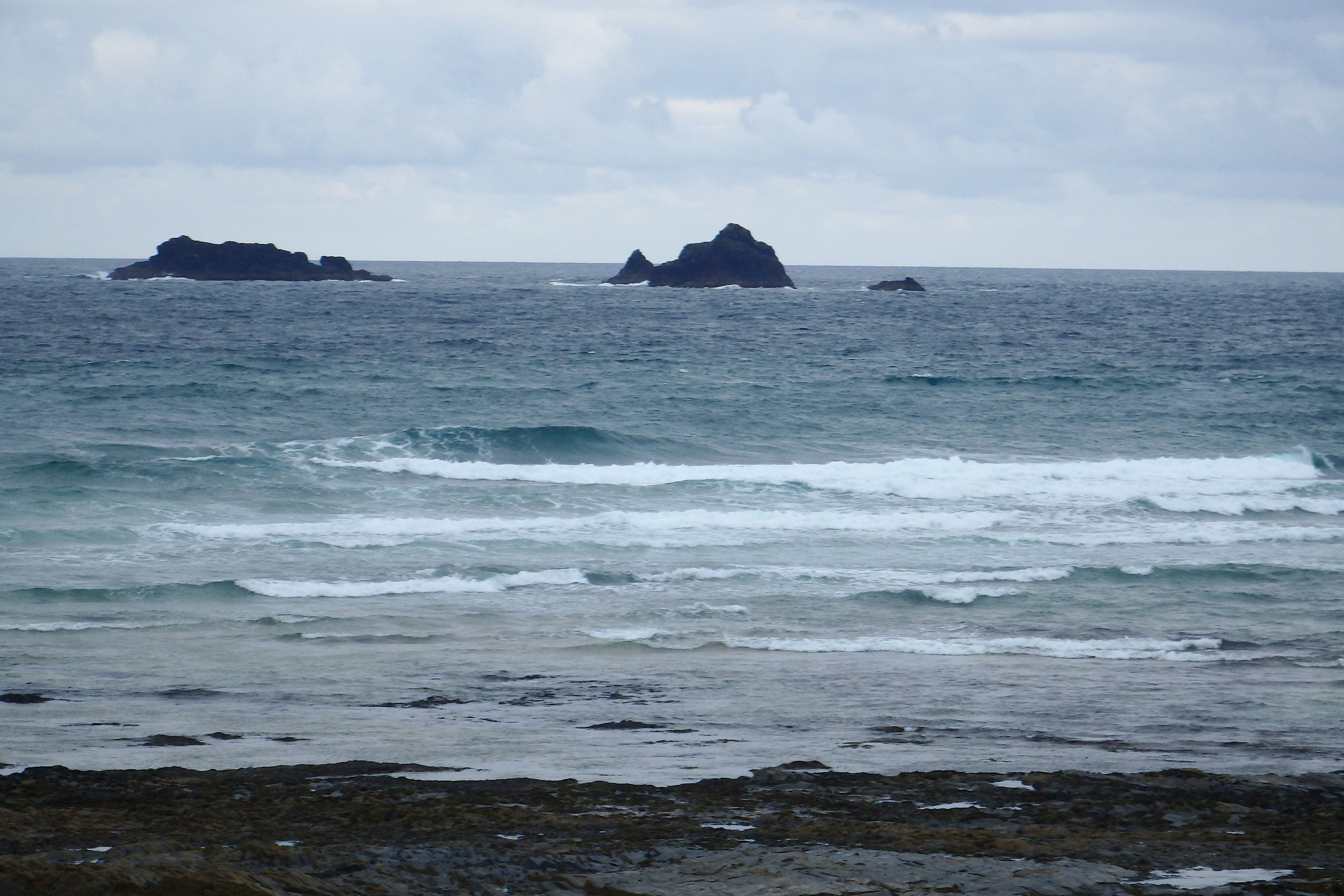
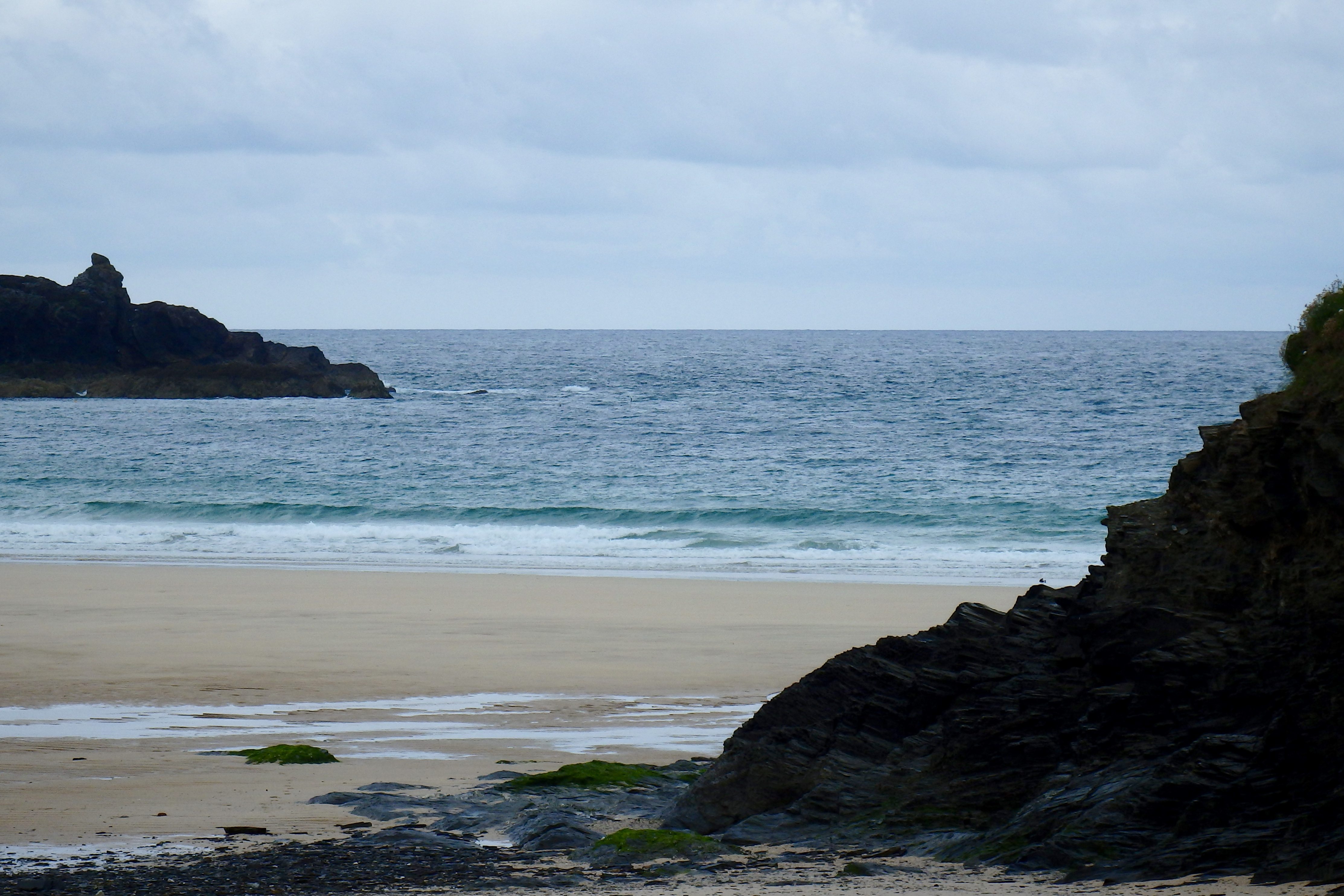
Another blustery day is greeting us, a sky of ribboned grey maybe promising something a little brighter for later but reflecting some gloom off the face of that grey old sea.
Only a couple to three feet of chopped and slopped surf is washing in this morning, hardly enticing but probably providing more fun than you would expect!
Conditions should change through the day with the sun putting in an appearance by early afternoon, that north westerly wind easing by this evening.
Harlyn (0*): 0 to 1 foot
Six inches to one foot of sloppy and choppy little waves are barely bothering the sand this morning, that brisk north westerly wind whipping into the bay and blustering across the headland.
It’s not great!
Today’s Tide Times:
Low Tide: 17:22 (2.0m) High Tide: 11:00 (6.4m)

Surf Forecast for Tuesday 28th June 2016
South westerly winds are forecast for today, gradually increasing in strength through the day. But at least a south westerly should push the swell up, even if it does chop up the main surf breaks.
So we should be able to enjoy a mixed up day of windblown surf with some heavy showers but brighter periods as well!
Surf Conditions for the Start of the Week
This week looks like it’s going to be another windy and occasionally damp one with a lot of mixed up and chopped out surf rolling our way.
Monday’s north westerly wind is likely to shift to the south west by Tuesday, at least improving the size of those windblown waves and maybe allowing Harlyn a chance to show itself through midweek.
Maybe.
So that three foot swell is likely to double in size as we go into the week, the south westerly wind making for choppy conditions at the exposed breaks but keeping things clean at Harlyn.
Have a great week, wherever you are and whatever you’re doing!
SJ’s Surf Forecast for the SW
Forecast last updated at 09:00 Monday 27th June 2016
Hi everyone – these updates are currently made at any time of the day as and when I get the time/chance to update – however from September the intention would be for it to be updated every weekday morning by 10am.
[Don’t forget to look at this forecast the day before you go beach for the latest, as things can often change!]
The Rest Of The Week:
‘A bleak weak with no real quality to the swell, and therefore it’s looking likely there’ll only be one ‘window’ of good winds this week to allow a decent clean wave – see/read below.’
Sunrise and sunset – 05:15 and 21:35
Twilight starts and ends – 04:30 and 22:20
Midday – 13:20
Length of day – 16:20
Offshore Sea Temp approx – 14.5C / 58F
outputmodelrun-270616-0830
Monday 27th:
‘Small onshore mush for the North, flat for the south.’
Swell – (i) Weak going OK W-WNW
Wind – Medium NW going Light-Medium W-NW
Weather – Overcast and dull, turning cloudy with sunny spells
North Coast – 3ft (Waisthigh)
South Coast – 0-1ft
Tides – 04:51 Low, 10:50 High, 17:14 Low
Tuesday 28th:
‘The winds should get enough southerly in them to make a dawn patrol or at least a session by mid morning worthwhile, before the winds turn onshore Westerly and pick up in strength.’
Swell – (i) OK going Weak W-WNW
Wind – Light-Medium S going Strong W
Weather – Bright start, but with cloud and rain pushing through later on
North Coast – 3ft (Waisthigh) going 4-5ft (Chest-Shoulderhigh)
South Coast – 1-2ft (Kneehigh) going 3ft (Waisthigh)
Tides – 05:52 Low, 11:54 High, 18:22 Low
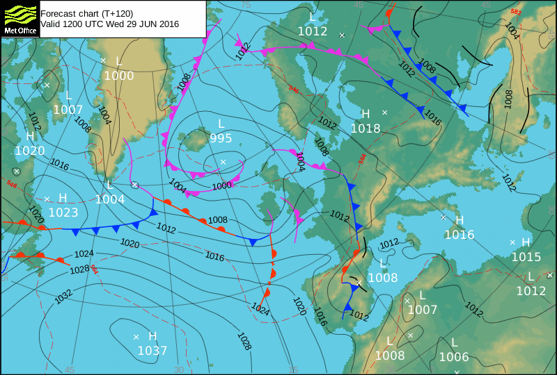
Wednesday 29th:
‘Strong winds and awful weather! Stormy surf like conditions with only a small raggedy wave at sheltered spots on the North.’
Swell – (i) Weak going OK W-WSW
Wind – Medium-Strong SW going Medium W-SW
Weather – Overcast with heavy rain sweeping across the region
North Coast – 3-5ft (Waist-Shoulderhigh) going 5-6ft (Headhigh)
South Coast – 3-4ft (Waist-Chesthigh)
Tides – 07:05 Low, 13:04 High, 19:38 Low
Thursday 30th:
‘Small clean wave at sheltered spots on the North.’
Swell – (i) OK going Weak W-WSW
Wind – Medium W going W-SW
Weather – Bright start with rain likely later on
North Coast – 4-6ft (Chest-Headhigh)
South Coast – 2-4ft (Waisthigh)
Tides – 08:16 Low, 14:13 High, 20:49 Low
Friday 1st:
‘Swell will start to pick up throughout the day, but with a brisk Westerly wind not many places will escape the crosshore conditions.’
Swell – (i) Weak W going OK W-WNW
Wind – Medium-Strong W
Weather – Mixture of cloud, sunshine, and light rain
North Coast – 4-6ft (Chest-Headhigh) going 6-8ft (Overhead)
South Coast – 3-4ft (Waist-Chesthigh)
Tides – 09:21 Low, 15:19 High, 21:53 Low
Weekend Summary:
‘EWarly days – will update the weekend section on Tuesday.’
Saturday 2nd:
‘x’
Swell – (i) OK W-WNW going W
Wind – Medium-Strong W going W-SW
Weather – Cloudy with light rain
North Coast – x
South Coast – x
Tides – 10:20 Low, 16:17 High
Sunday 3rd:
‘x’
Swell – (i) Weak W-WSW
Wind – Medium-Strong SW going W
Weather – Cloudy with light rain
North Coast – x
South Coast – x
Tides – 04:45 High, 11:13 Low, 17:10 High
Early Next Week:
‘x’
The scale for measuring conditions:
0-1ft – Unridable/Flat
1-2ft – Kneehigh
3ft – Waisthigh
4-5ft – Chest/Shoulderhigh
6ft – Headhigh
6-8ft = 1-1.5x Overhead
8-10ft = 1.5x Overhead
10-12ft = 2x Overhead
Please Note!
Wave height predictions are based on the larger breaks on both coasts such as Fistral and Croyde for the North, and Praa Sands and Bantham for the South.
Wave height is measured from the front of the wave, and 6ft would usually mean a ‘head-high’ wave.
Try and use some ‘local’ knowledge about what the wave sizes will be elsewhere. For example the Newquay Bay area is generally 1/3 to 3/4 the size of Fistral, increasing the further up the bay you go from Towan to Lusty Glaze, and that it will be clean on a W wind at ‘harbour left’ at Towan at mid-tide’ for example.
Tide times are based on Newquay.
Stay Stoked!
SJ