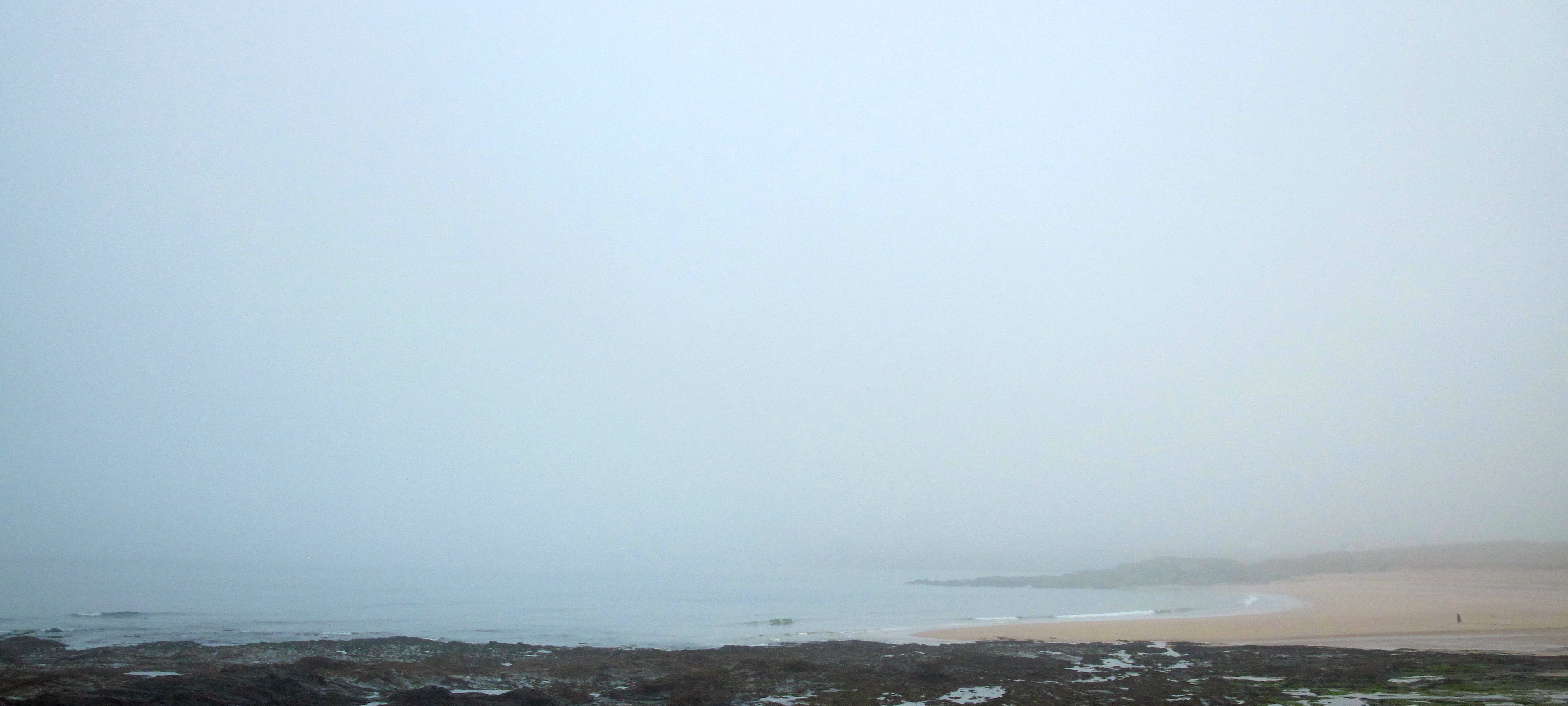
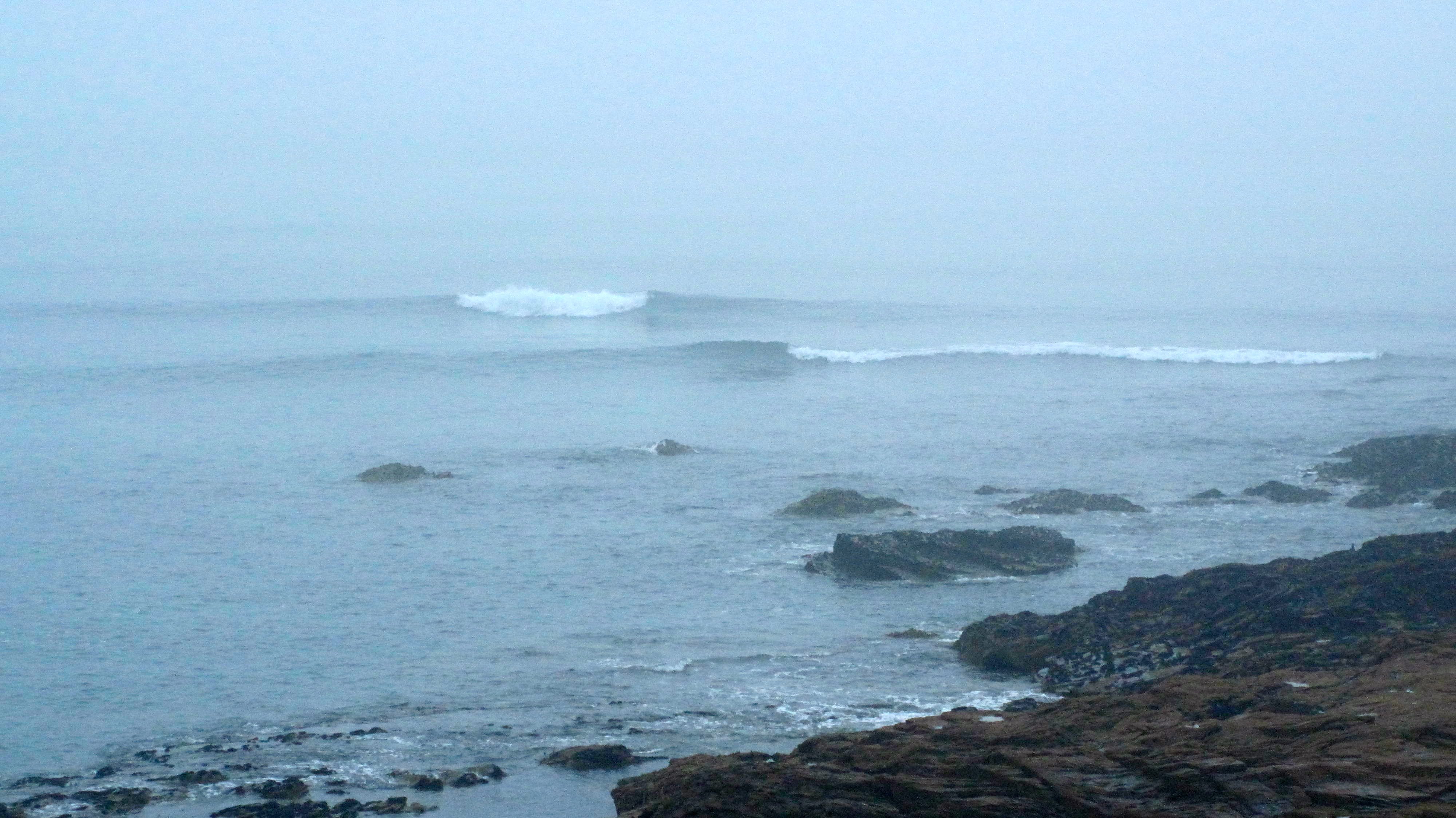
Constantine (1*): Flat to 1 foot
at 7.10 a.m.
It’s not here yet.
There are a few vehicles in the car park already, waiting. Waiting for that swell. That swell that we have all been tracking, for a good few days now!
In the meantime, while we wait, the sky is merging with the sea in a grey fog of warmth. Visibility is low, super low, all sound muffled, that glaring white light of a diffracted sunrise.
And the surf is still pretty much flat. Well, tiny at best.
Give it a few hours though and that will change, along with the weather.
With a 10 o’clock low, the tide should push some at first tiny swell our way. We should be seeing some action from then on.
The weather is likely to brighten, a lot, while the surf builds, slowly.
It should be a ‘longboard to shortboard’ kind of day eventually!
Or you could always pop over to the far coast and get on it while you’re waiting! It has been pumping for days over there!
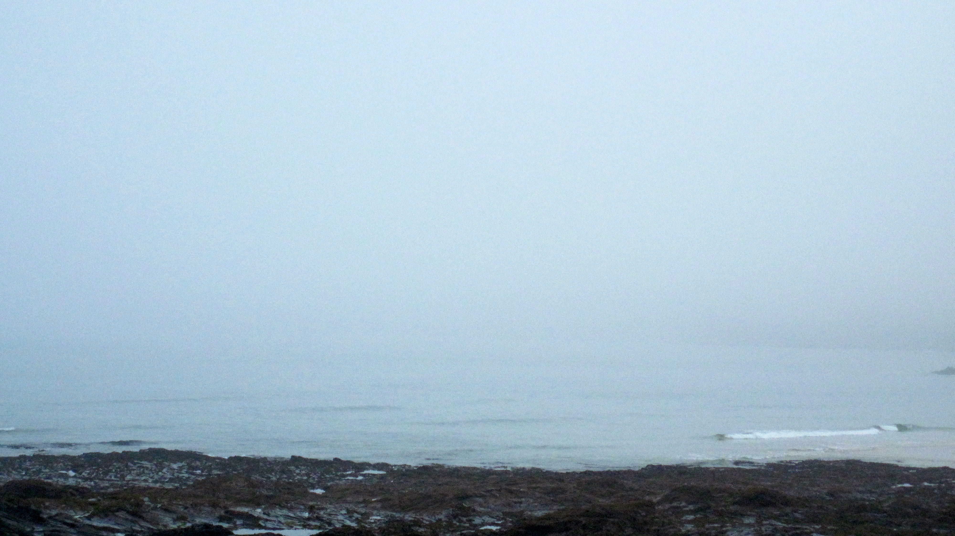
Harlyn (0*): Flat
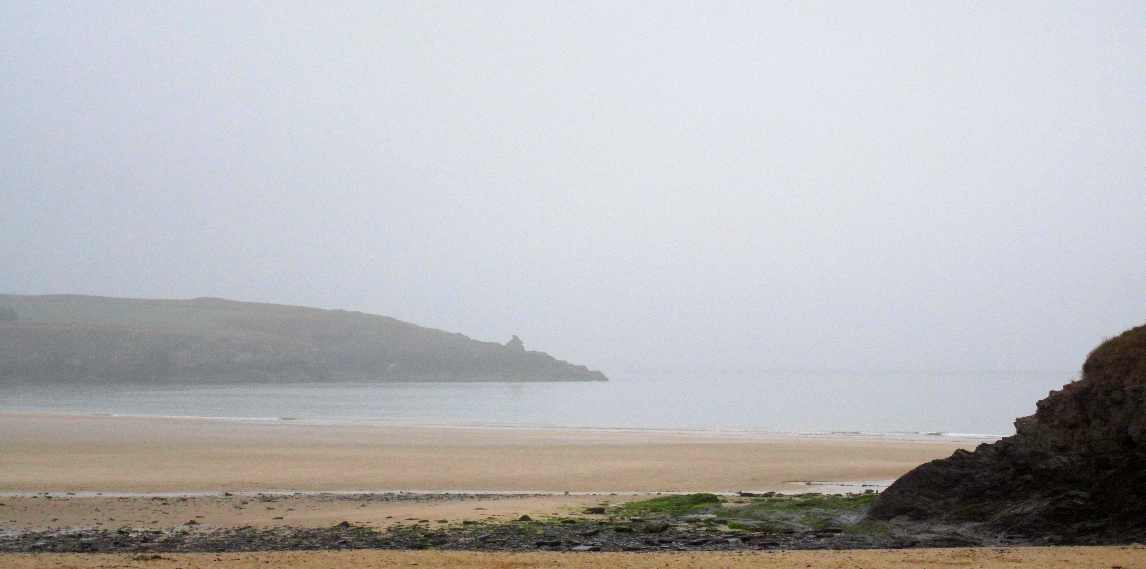
It is as flat as flat can be around here this morning, a smooth, velvet infinity pool stretching into the fog.
Today’s Tide Times:
Low Tide: 10:04 (2.3m) High Tide: 16:06 (6.3m)

Surf Forecast for Sunday 21st September 2014
Those big surf prediction sites are flagging up a five star kind of day for surf today – and so it should be!
A solid three foot plus swell is likely to be powering into a very light offshore breeze, a mid-teens wave-period giving that swell some deep power and shape.
Sunshine?
Of course.
Have a great day!
Surf Conditions for the Weekend
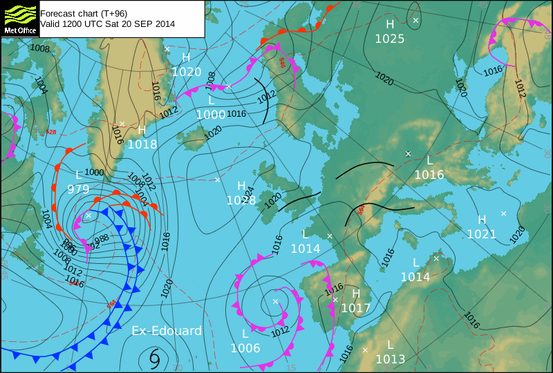
The swell generators that are out in the Atlantic are way down beneath Biscay and way up above Greenland and Iceland. And so the swells that were reeling onto our surf breaks this week have travelled a fair old way, smoothing themselves out and generating a lot of power and shape (for their size) along the way. And so were having a double swell hit through the early part of this week, the refracted and reflected bounce of swell from the very tip of Cornwall alongside those lines that swung around Ireland.
When they coincide is when those powerful and smooth lines start throwing some more tubular shapes!
And there’s no reason to think that it’s going anywhere for a while yet.
In fact, as ex hurricane Edouard joins the mix, even bigger waves should be generated and propelled to our coastline for the weekend! And then there’s another deepening low being generated out to the west too. That should beef up those swells as we go through the weekend, churning some decent sized waves our way. Watch out for that one, it might just push some bumping swell our way but might also decide to jump into the party itself – that will remind us of Autumn if it does!
So, we can expect great surf, warm air, warm water and eventually some more sunshine throughout this weekend, a very decent couple to three feet on Saturday with only light winds, maybe slipping onshore through the afternoon as the sea breeze effect kicks in but still okay, while Sunday is full of three to four feet of offshore heaven!
Have a great weekend, wherever you are and whatever you’re doing!