At 6.20 a.m:
Constantine (2*): 1 to 2 feet.
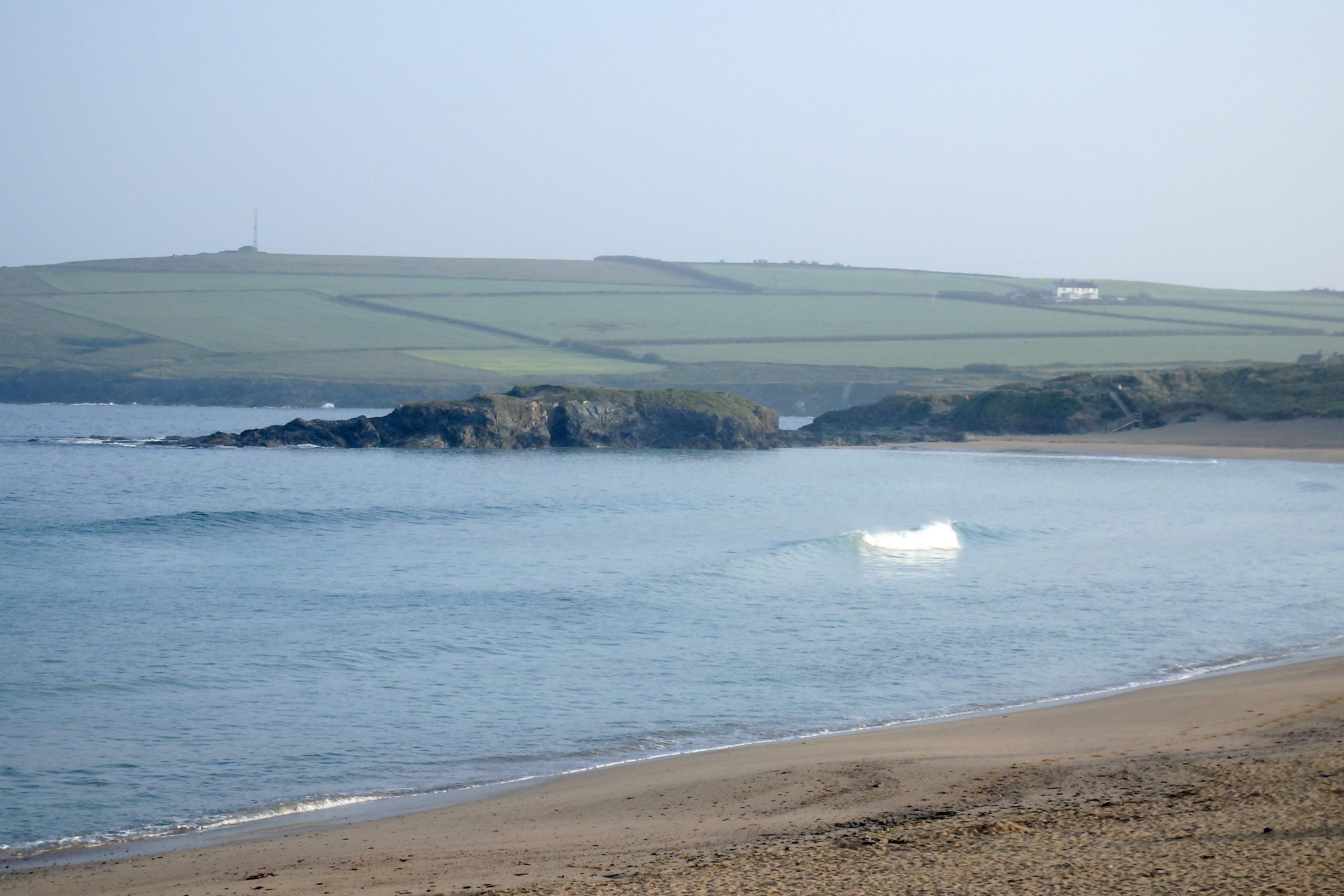
Another staggeringly beautiful morning is starting off the day with the deepest and palest of blue skies unblemished by even the lightest of clouds.
The air is calm and the sea is glassy, those small waves gliding into the high tide bay of smoothness before tipping and peeling to the sand.
The waves are only small but they are shimmering and dancing in the early morning light.
It’s a small wave, longboard kind of day today but it should be fun!
Harlyn (0*): 0 to 1 foot
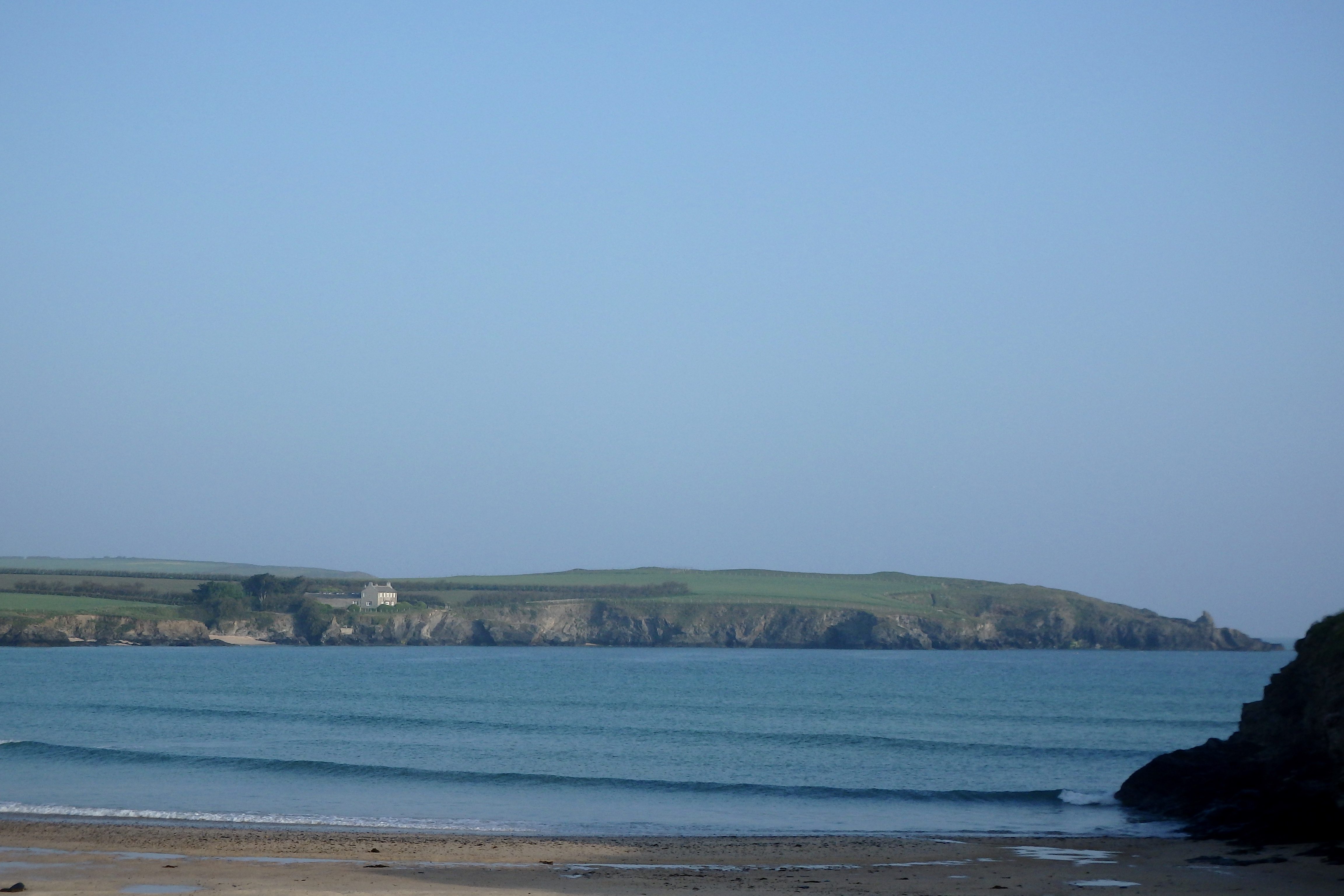
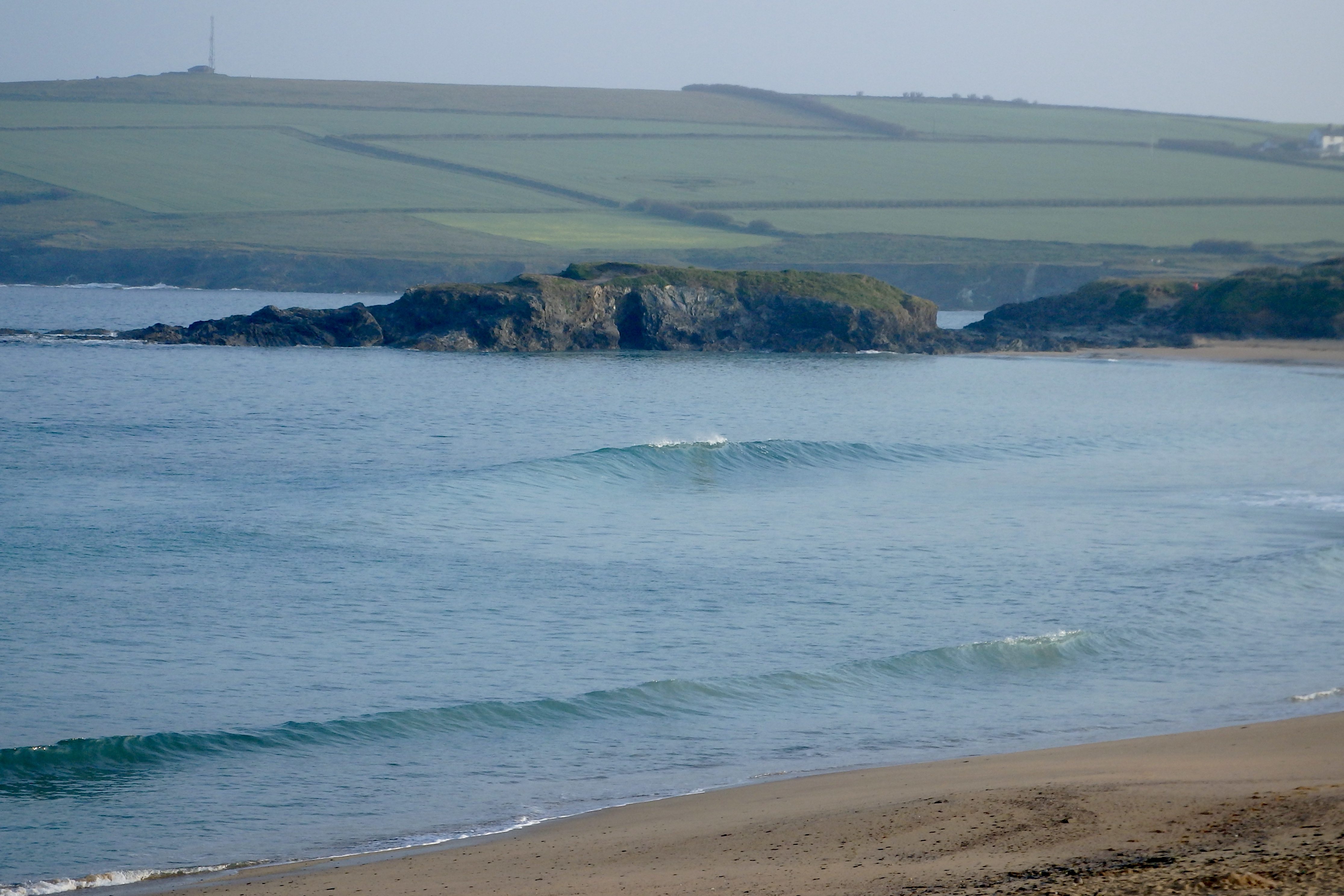
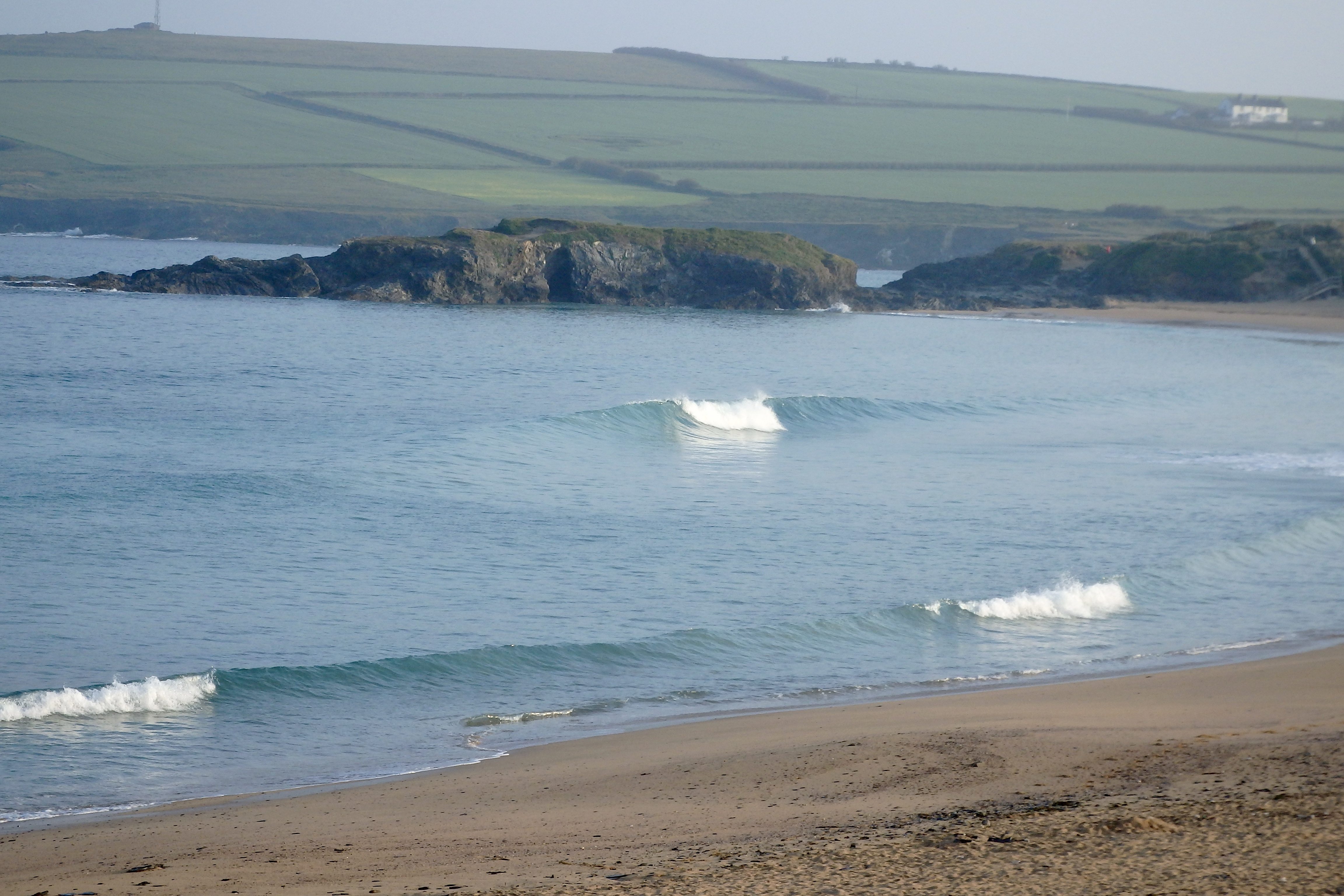
It is all but flat over here this morning with only tiny little six inch ripples brushing against the sand.
A fabulous day of SUPing awaits but it’s unlikely that you will be able to get a surfboard to ride here today!
Today’s Tide Times:
Low Tide: 11:47 (0.7m) High Tide: 17:40 (7.3m)

Surf Forecast for Sunday 5th June 2016
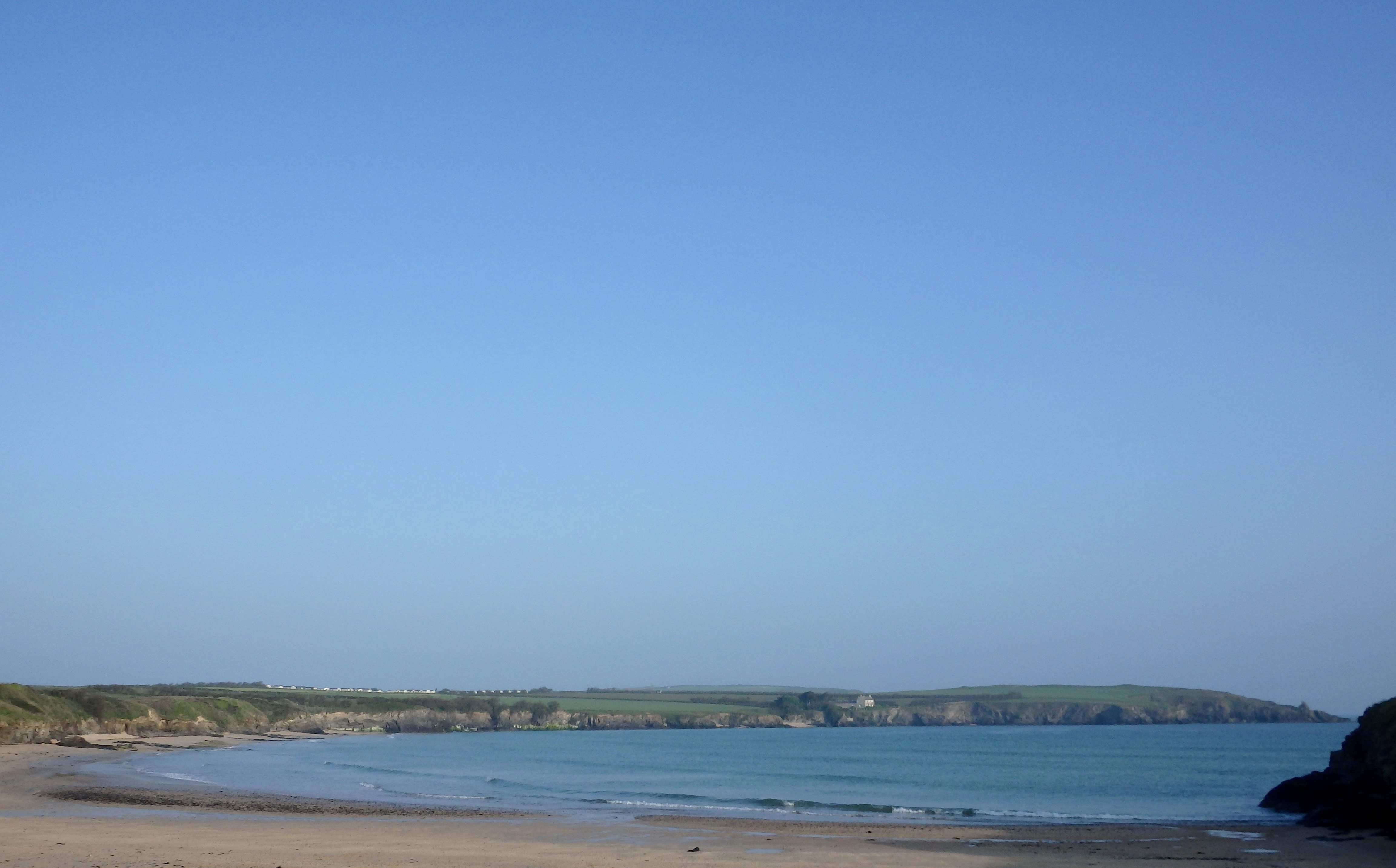
More tiny little waves are likely to be teasing us again today, the breeze light and offshore, the sky clear and temperatures high.
Shin to knee high gliders are as much as we can hope for today!
Surf Conditions for the Weekend
A bright and cheery weekend is waiting for us and with the promise of some small but clean and fun surf too!
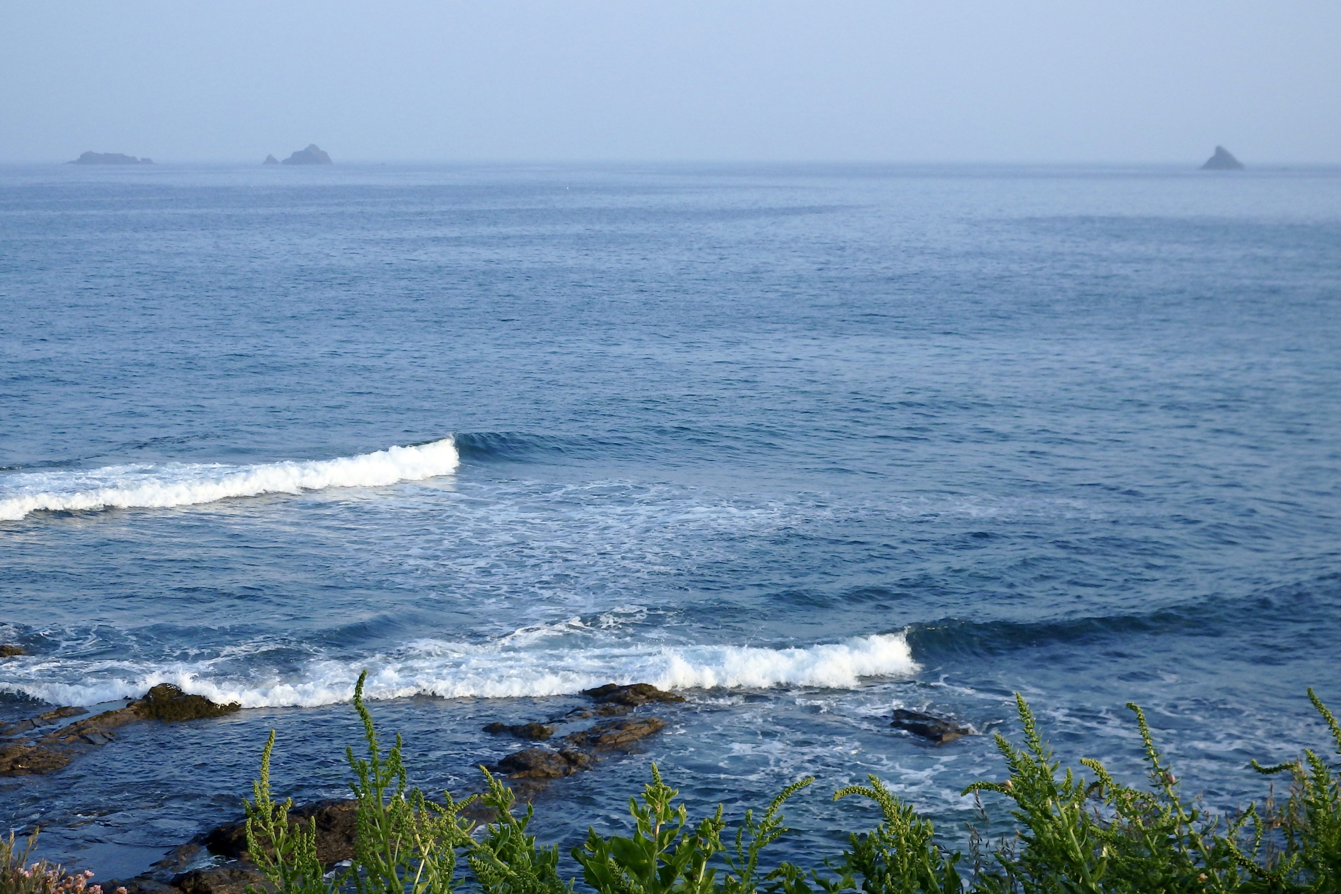
Friday should bring some cheer to those patient surfers who have struggled through the last week or two of flatness with a very decent two to three feet of smooth and peeling summer surf.
By Saturday there might just be smaller conditions but still as pretty and attractive as the sun continues to shine down on us.
Drag out the longboards for Sunday, those little waves could just stay big enough to glide across but the weather should still be pleasant as most school children prepare to return after a good half term holiday.
And the surf is looking good for that quieter Monday morning!
Have a great weekend, wherever you are and whatever you’re doing!
SJ’s Surf Forecast for the SW
Forecast last updated at 13:00 Saturday 4th June 2016
Hi everyone – these updates are currently made at any time of the day as and when I get the time/chance to update – however from September the intention would be for it to be updated every weekday morning by 10am.
[Don’t forget to look at this forecast the day before you go beach for the latest, as things can often change!]
The Rest Of The Week:
‘The endless Summer… Good bit of swell coming our way on Thursday and Friday – nothing big, but enough to get in and enjoy.’
Sunrise and sunset – 05:15 and 21:25
Twilight starts and ends – 04:30 and 22:05
Midday – 13:15
Length of day – 16:10
Offshore Sea Temp approx – 13.3 C / 56.0 F
Tuesday 31st:
‘Onshore messy windslop – enough for surf schools and learners, or those just wanting to get wet behind the ears in this glourious sunshine.’
Swell – (i) Weak and confused
Wind – Medium going Medium-Strong N-NW
Weather – Lazy hazy Summer day, albeit with a brisk wind
North Coast – 1-2ft (Kneehigh)
South Coast – Flat
Tides – 07:37 Low, 13:35 High, 20:10 Low
Wednesday 1st June:
‘Similar to Tuesday – onshore and messy but still enough for surf schools and learners.’
Swell – (i) Weak and confused
Wind – Medium N going N-NE
Weather – Cloudy but dry. Maybe the odd sunny spell, and a very slight chance of rain in some parts
North Coast – 1-2ft (Kneehigh)
South Coast – Flat
Tides – 08:44 Low, 14:42 High, 21:15 Low
Thursday 2nd:
‘Improves as the day goes on – will get good around the high tide mid-late afternoon as the swell increases and the wind lightens and turns offshore. Around waisthigh on the sets expected later on.’
Swell – (i) Faint going Strong WSW
Wind – Light-Medium NE
Weather – Mixture of cloud, sunny spells, and a chance of rain
North Coast – 1-2ft (Kneehigh) going 2-3ft (Knee-Waisthigh)
South Coast – Flat going 1ft (less than Kneehigh)
Tides – 09:45 Low, 15:41 High
Friday 3rd:
‘Beautiful Spring morning with mostly blue skies, burds singing, and a gentle offshore breeze shaping the surf and holding it up ever so slighlty as it breaks, luuuurrrvvvveeelllyy! Good clean wave – make the most of it by mid afternoon, as it will turn cross-shore and drop off towards the high tide later on.’
Swell – (i) Medium WSW
Wind – Light E going Light-Medium N-NE
Weather – Bright day with plenty of sunny spells.
North Coast – 3ft (Waisthigh) going 2-3ft (Knee-Waisthigh)
South Coast – 1ft (less than Kneehigh) going Flat
Tides – 10:38 Low, 16:34 High
Bank Holiday Weekend Summary:
‘A Summery weekend with good sunny weather and light winds, but little in the way of swell. Plan to do other things than surfing this weekend.’
Saturday 4th:
‘NO ridable waves expected for Saturday – looking too small with a very remote outside chance of something longboardable at best – and even then, that’d be pushing it.’
Swell – (i) Medium going Weak WSW
Wind – Light N-NE going Light-Medium N
Weather – Bright and sunny day with just some cloud. Chance of some showers too.
North Coast – 1-2ft (Kneehigh) going 1ft (Flat to Kneehigh)
South Coast – Flat
Tides – 05:00 High, 11:28 Low, 17:24 High
Sunday 5th:
‘As flat as it gets. A mirror smooth ocean will greet us under a calm sky with just the sound of faint ripples gently lapping against the shore. Combined with the sun peaking through, and no wind in the morning it will be very peaceful – almost like the sea having a good sleep before an impending storm… The latest shows the new swell coming in slightly earlier, so it may well pick up by late afternoon and evening, although it will be masked by the Spring high tide.’
Swell – (i) Weak and confused
Wind – Light Variable
Weather – Cloudy with the some sunny spells
North Coast – Flat going 1ft
South Coast – Flat
Tides – 05:49 High, 12:15 Low, 18:12 High (Spring tides)
Early Next Week:
‘SURF ALERT! Yes, that’s right. A good swell and light winds expected for Monday through to Thursday next week – could be around waisthigh and clean, perhaps bigger on the sets (Thursday could see a second pulse of swell reaching chest-shouldhigh at it’s peak Thursday mornning).’
The scale for measuring conditions:
0-1ft – Unridable/Flat
1-2ft – Kneehigh
3ft – Waisthigh
4-5ft – Chest/Shoulderhigh
6ft – Headhigh
6-8ft = 1-1.5x Overhead
8-10ft = 1.5x Overhead
10-12ft = 2x Overhead
Please Note!
Wave height predictions are based on the larger breaks on both coasts such as Fistral and Croyde for the North, and Praa Sands and Bantham for the South.
Wave height is measured from the front of the wave, and 6ft would usually mean a ‘head-high’ wave.
Try and use some ‘local’ knowledge about what the wave sizes will be elsewhere. For example the Newquay Bay area is generally 1/3 to 3/4 the size of Fistral, increasing the further up the bay you go from Towan to Lusty Glaze, and that it will be clean on a W wind at ‘harbour left’ at Towan at mid-tide’ for example.
Tide times are based on Newquay.
Stay Stoked!
SJ