At 6.45 a.m:
Constantine (1*): 1 to 2 feet.
How lucky were the Royal Cornwall Show organisers! Three days of perfect show weather and then today, well, let’s just say that it is all a little mizzly and grizzly today!
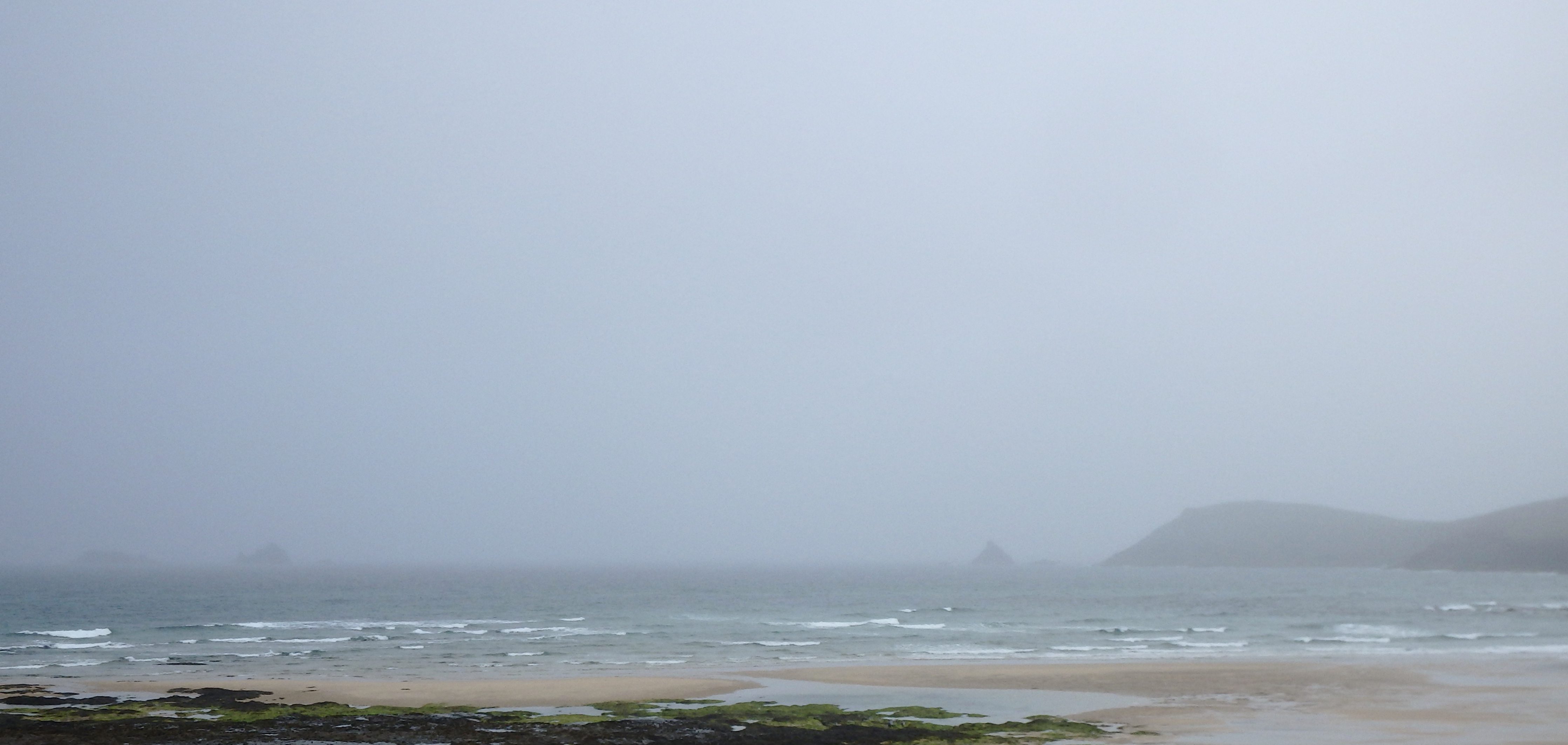
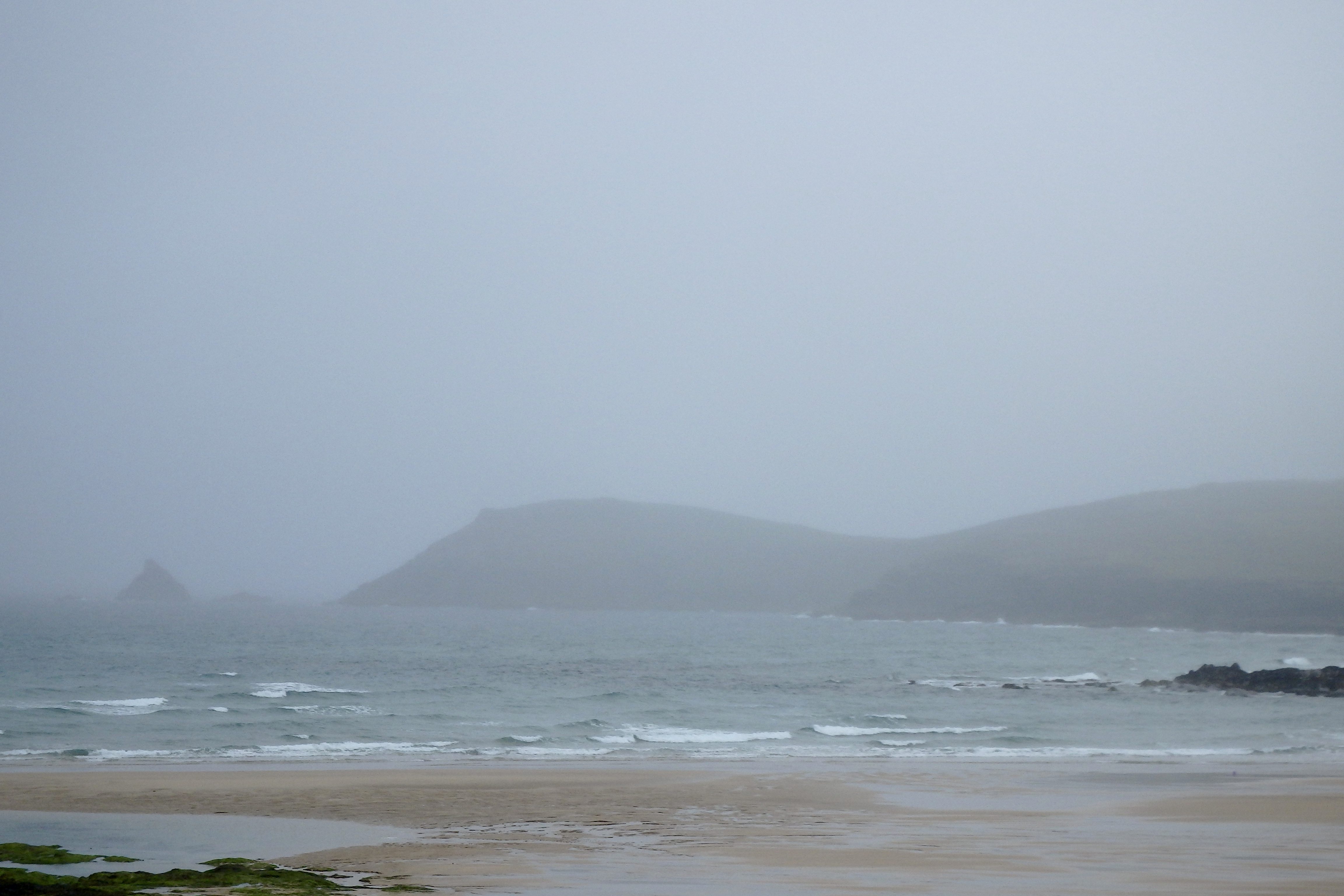
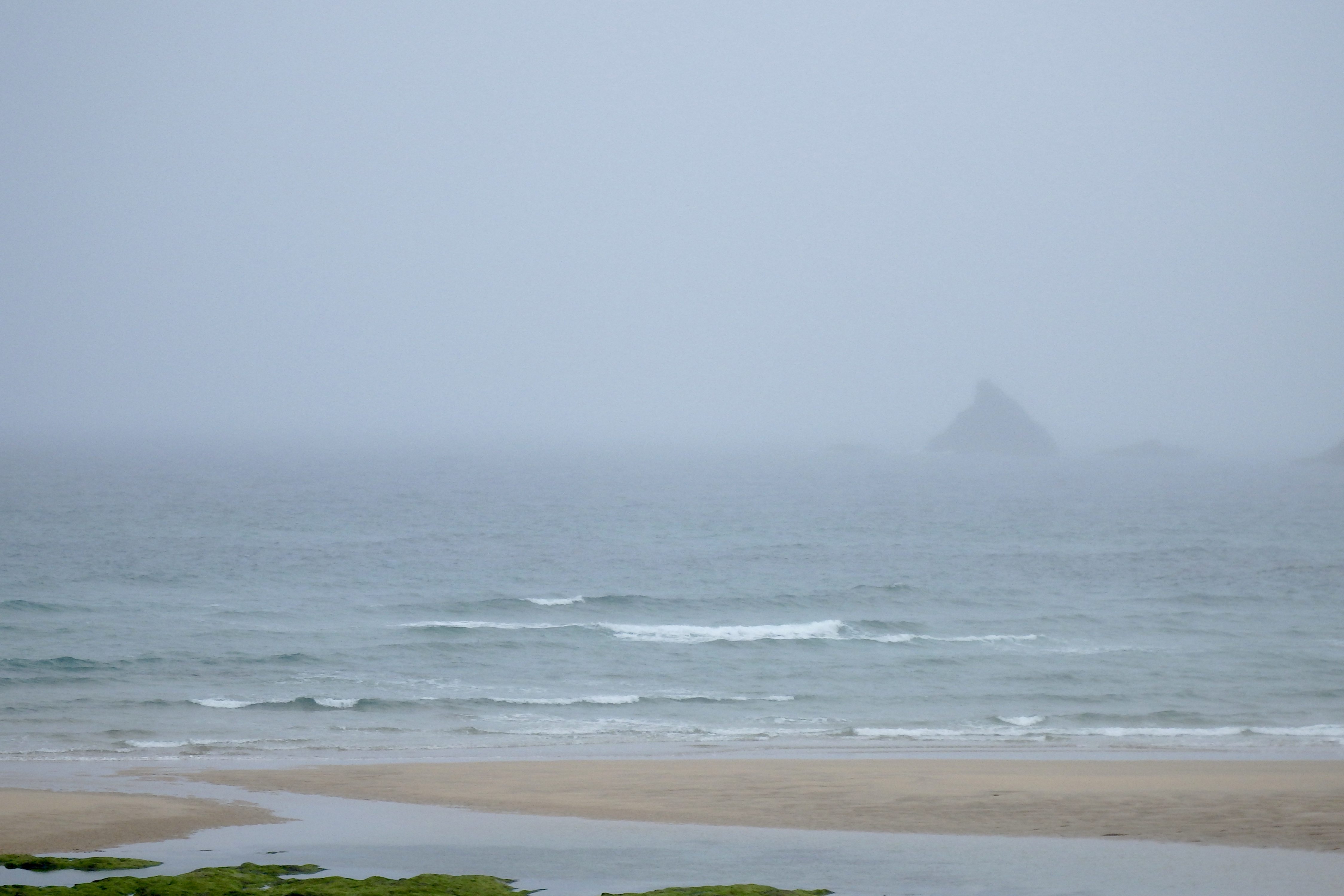
Visibility is low this morning as that clammy dampness is merging sky and sea into a wall of wet.
The surf isn’t all that either!
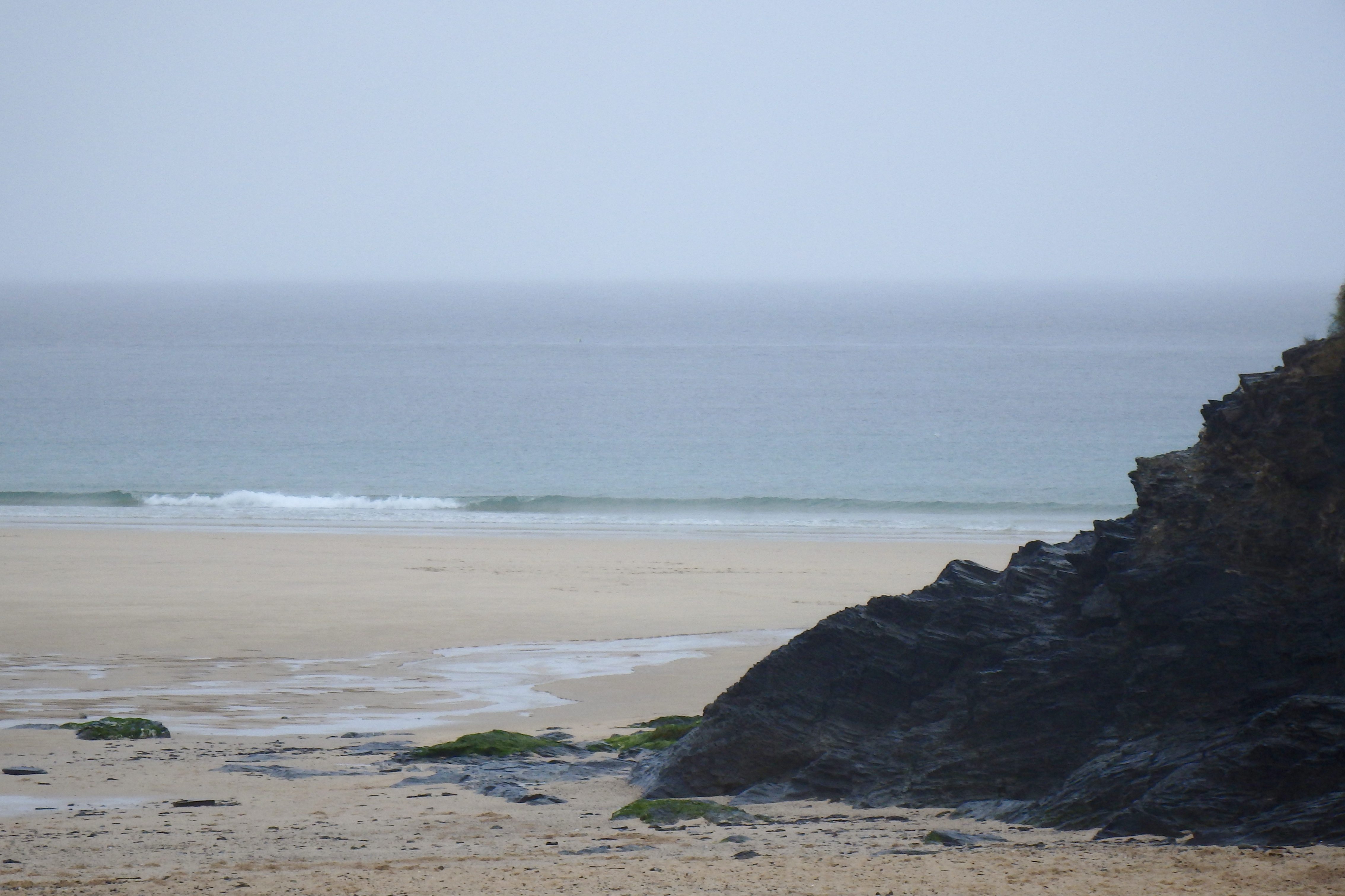
A foot or so of onshore crumbled sloppy surf is sloshing its way to the sand, in no hurry and without too much focus either.
It could just be one of those Sunday mornings to roll over and snuggle up to a loved one while listening to the rain on the window pane!
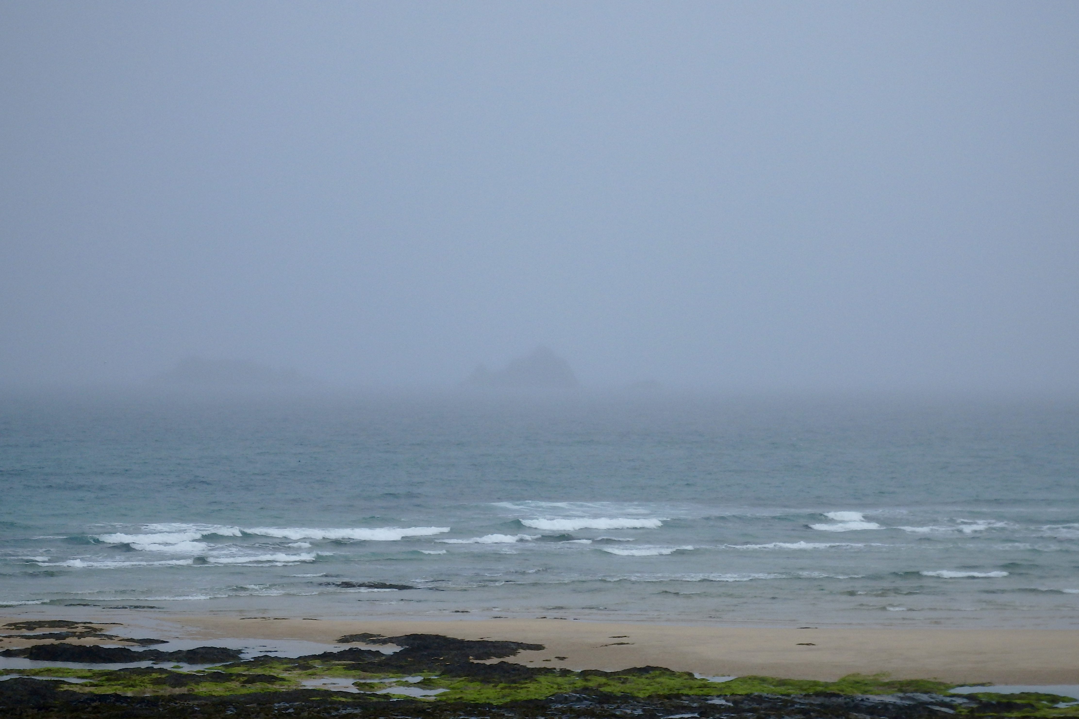
Harlyn (0*): Flat.
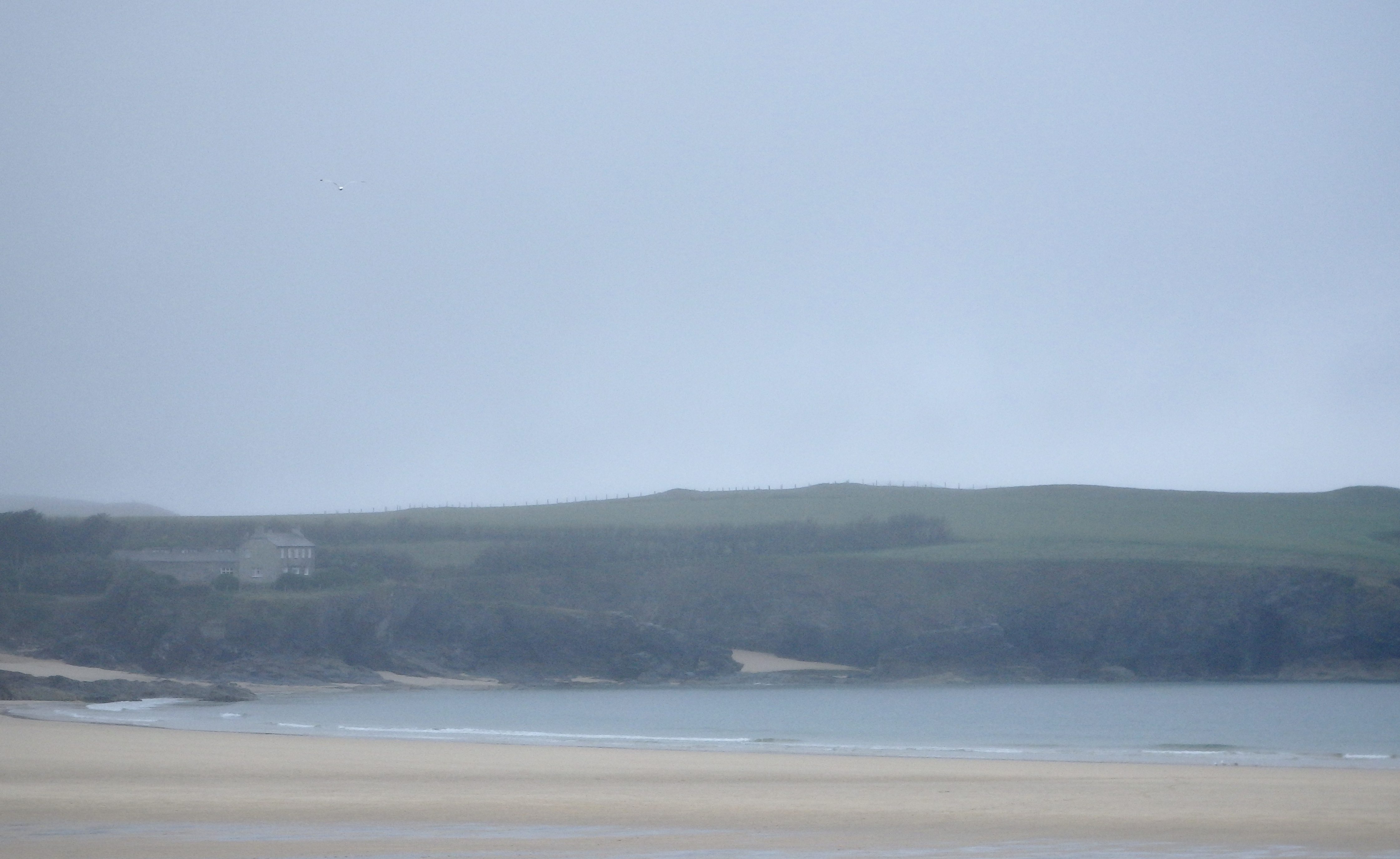
The surf is flat here this morning, a mizzle soaked view of glass-like smoothness stretching off into the murk.
It should brighten up later though……
Today’s Tide Times:
Low Tide: 17:55 (2.3m) High Tide: 11:35 (5.8m)

Surf Forecast for Sunday 13th June 2016
South westerly going westerly winds should help to blow through more of a swell.
We can expect three feet plus of bumpy and lumpy surf to be rolling into the bays and coves all along the Cornish coast, that wind making for sloppy and choppy conditions but at least providing waves big enough to drop in on before turning, which will make a pleasant change!
And the weather is likely to be more as we would expect with always the chance of a bit of a downpour nearby but also those long stretches of breezy sunshine too.
Surf Conditions for the Start of the Week
A more breezy start to the week should produce some bigger waves than we have seen for a little while with three to four feet of onshore blown swell rolling along the coast through Monday. By Monday evening we could be seeing some Harlyn action as the wind pushes as much as two to three feet of swell all the way around the headland.
The wind is likely to have settled to a more westerly blow by then, sideshore at Harlyn but still allowing some fun waves to keep their shape.
And that’s likely to be the way of it through the start of the week, three to four feet of swell rolling in, being pushed and pulled by steady westerly winds, those winds veering back and forth from south westerly (Yay!) to north westerly (Booo!), before settling to a more direct (and chillier!) northerly direction.
So, this week promises a bit of a change to more breezy and damp and chillier weather with mixed up and sloppier surf conditions to play in!
Have a great week, wherever you are and whatever you are doing!
SJ’s Surf Forecast for the SW
Forecast last updated at 09:25 Sunday 12th June 2016
Hi everyone – these updates are currently made at any time of the day as and when I get the time/chance to update – however from September the intention would be for it to be updated every weekday morning by 10am.
[Don’t forget to look at this forecast the day before you go beach for the latest, as things can often change!]
The Rest Of The Week:
‘Some waves about all week, but it will depend on the winds on when you get in.’
Sunrise and sunset – 05:10 and 21:30
Twilight starts and ends – 04:25 and 22:15
Midday – 13:20
Length of day – 16:20
Offshore Sea Temp approx – 14C / 57F
outputmodelrun-100616-0830
Monday 6th:
‘Great day for surf – gets bigger and cleaner/glassier as the day goes on.’
Swell – (i) Medium W-WSW going Strong WSW
Wind – Light-Medium E-SE going Light Variable
Weather – Mixture of cloud and sunny spells
North Coast – 3ft (Waisthigh) going 4ft (Chesthigh)
South Coast – 1ft
Tides – 06:38 High, 13:00 Low, 18:59 High (Spring tides)
Tuesday 7th:
‘A good wave but with light onshores by afternoon. Should still be good though, especially in the sun.’
Swell – (i) Medium going Weak WSW
Wind – Light Variable going NW
Weather – Gloriously bright, with some cloud and sunny spells
North Coast – 4-6ft (Chest-Headhigh) going 3-4ft (Waist-Chesthigh)
South Coast – 1ft going Flat
Tides – 07:25 High, 13:47 Low, 19:45 High
Wednesday 8th:
‘Small wave with a light crosshore Northerly wind.’
Swell – (i) Medium going Weak WSW
Wind – Light N
Weather – Cloudy start but with plenty of sunny spells by the afternoon
North Coast – 3ft (Waisthigh) going 2-3ft (Knee-Waisthigh)
South Coast – Flat
Tides – 08:12 High, 14:32 Low, 20:31 High
Thursday 9th:
‘A good clean wave with well defined lulls and sets. Will build further still on the tidal push late afternoon. Royal Cornwall Show starts today!’
Swell – (i) Medium WSW
Wind – Light E-SE going Light-Medium SE
Weather – Cloudy but dry and warm, maybe the odd sunny spell
North Coast – 2-3ft (Knee-Waisthigh) going 3-4ft (Waist-Chesthigh)
South Coast – 1ft
Tides – 08:57 High, 15:17 Low, 21:16 High
Friday 10th:
‘Small good clean/OK waves on the North. Noticeably colder as the change in weather systems kicks in – bye bye tshirts! Make the most of it before it all goes a bit ‘meh’!’
Swell – (i) Medium going Weak WSW
Wind – Light-Medium E-SE going Light S-SW
Weather – Overcast with rain showers
North Coast – 3-4ft (Waist-Chesthigh) going 3ft (Waisthigh)
South Coast – 1ft
Tides – 09:43 High, 16:02 Low, 22:03 High
Weekend Summary:
‘Small on Saturday, and then on Sunday sheltered spots could work.’
Saturday 11th:
‘Small onshore sloppy mush. Leave it to beginners; go chew some straw at the Royal Cornwall Show instead!’
Swell – (i) Weak W-WSW
Wind – Light-Medium W going SW
Weather – Cloudy with the odd rain shower. Should brighten up slightly in the afternoon
North Coast – 3ft (Waisthigh) going 2-3ft (Knee-Waisthigh)
South Coast – 1ft (Flat) going 1-2ft (Kneehigh)
Tides – 04:36 Low, 10:32 High, 16:52 Low (Neap tides)
Sunday 12th:
‘A return to more choppy onshore surf for the North that’ll build throughout the day. Not great for surf though with no quality to the swell, and could be a busy one for the lifeguards as people/swimmers get caught out. Sheltered spots should be working a smaller but OK cleanish wave late afternoon and evening towards the low tide.’
Swell – (i) Weak W-WSW
Wind – Medium W
Weather – Mixture of cloud, sunshine, and rain showers
North Coast – 3ft (Waisthigh) going 4-5ft (Chest-Shoulderhigh)
South Coast – 1-2ft (Kneehigh) going 2-3ft (Knee-Waisthigh)
Tides – 05:15 Low, 11:15 High, 17:30 Low (Neap tides)
Early Next Week:
‘Wet and windy. A return to slightly cooler weather with a low pressure zone heading in drawing down cooler air, but not much in the way of good/clean waves. Rain expected throughout the week, along with onshore W-N winds for the North coast.’
The scale for measuring conditions:
0-1ft – Unridable/Flat
1-2ft – Kneehigh
3ft – Waisthigh
4-5ft – Chest/Shoulderhigh
6ft – Headhigh
6-8ft = 1-1.5x Overhead
8-10ft = 1.5x Overhead
10-12ft = 2x Overhead
Please Note!
Wave height predictions are based on the larger breaks on both coasts such as Fistral and Croyde for the North, and Praa Sands and Bantham for the South.
Wave height is measured from the front of the wave, and 6ft would usually mean a ‘head-high’ wave.
Try and use some ‘local’ knowledge about what the wave sizes will be elsewhere. For example the Newquay Bay area is generally 1/3 to 3/4 the size of Fistral, increasing the further up the bay you go from Towan to Lusty Glaze, and that it will be clean on a W wind at ‘harbour left’ at Towan at mid-tide’ for example.
Tide times are based on Newquay.
Stay Stoked!
SJ