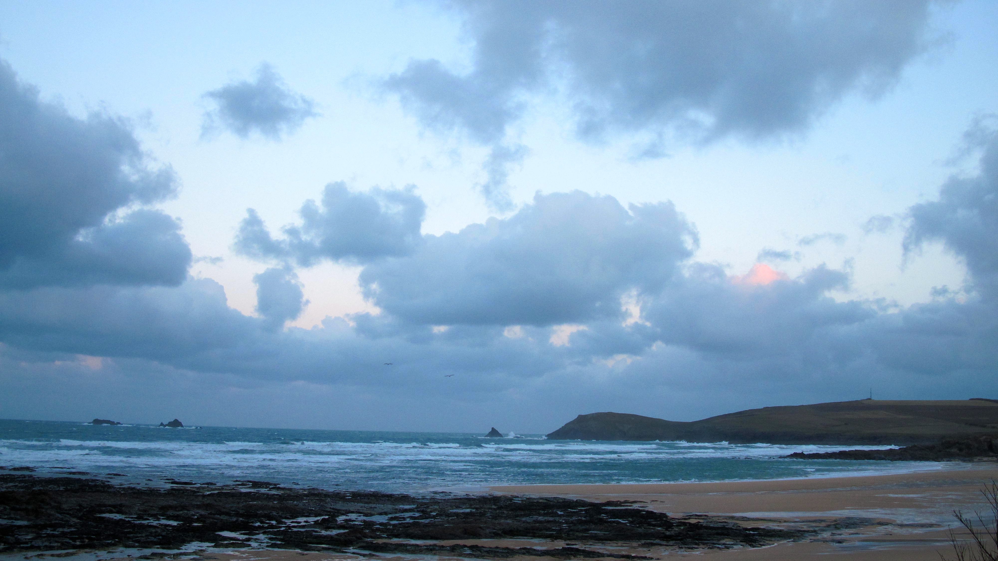
Constantine (0*): 6 feet & blown out.
at 7.50 a.m.
And on it goes…
The wind continues to howl across the headlands while those cloud banks sweep across the horizon, the weak winter sunshine trying its hardest but not really making much of an impression.
The surf is a mixed up mess of six to eight feet waves mashing into each other with an absent choreography, that grey and dark sea reflecting the freezing temperature of the northerly wind.
It is indeed as bitterly cold as it looks in that wind!
It’s one of those Sunday mornings to snuggle down with your loved one(s), pull the duvet up and stay warm and cosy!
Although the south coast might still be big enough to create some interest?
Or the welsh coast?
Or up t’north?
No surf report tomorrow (Monday 2nd February), I’m away early for the day but it is going to be GOOD!
Check tomorrow’s forecast below:

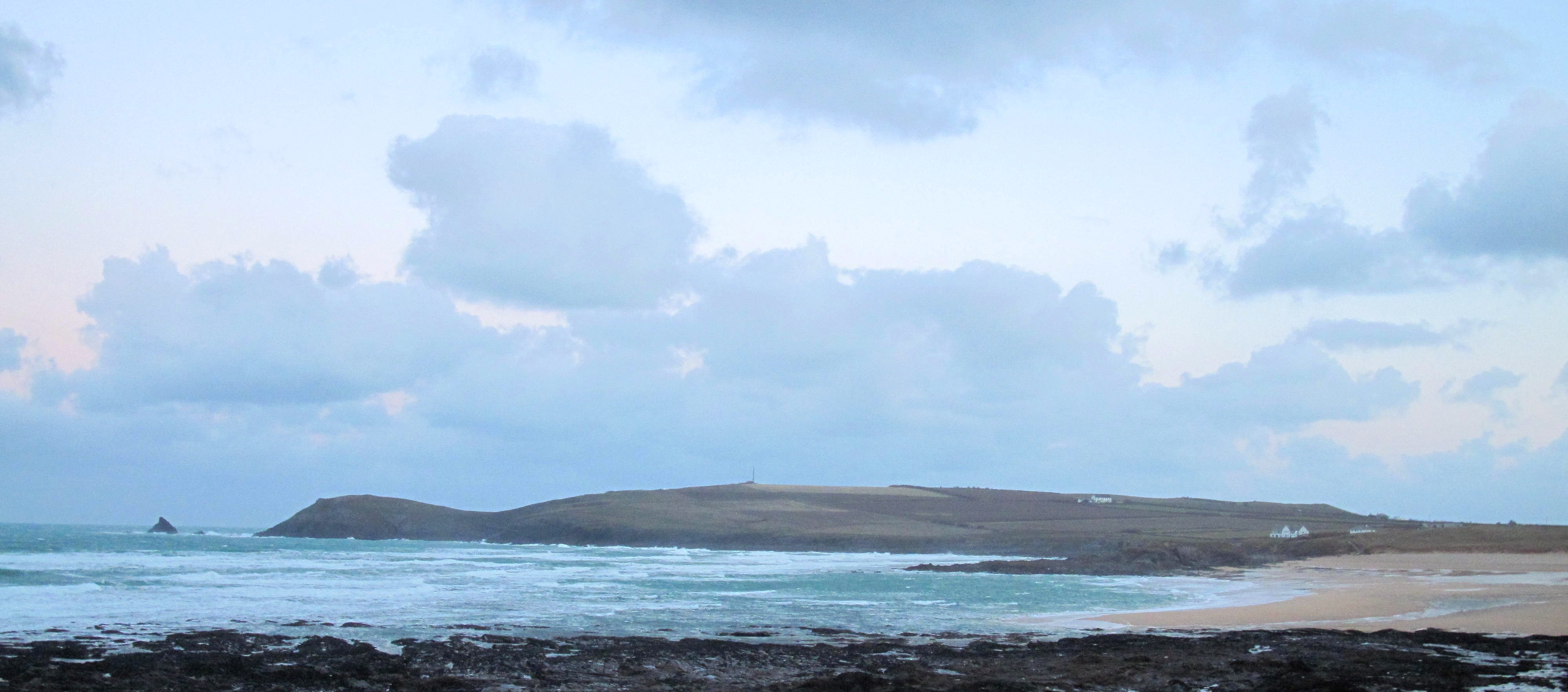
Harlyn (0*): 6 feet & blown out.
And the surf is blown to pieces around here this morning too.
It’s not much smaller than the other side, the north westerly wind adding its power to blow those waves ashore. So, big and bowly, mixed up and wild waves are exploding ashore, all unpredictable and wild.
No, it’s the south coast again today for some shape Although it’s going to be just as cold down there too, unless you find that little tucked away, sheltered spot that is!
Today’s Tide Times:
Low Tide: 10:13 (1.8m) High Tide: 16:04 (6.5m)

Surf Forecast for Monday 2nd February 2015
Three feet, offshore and bright and sunny!
Really?
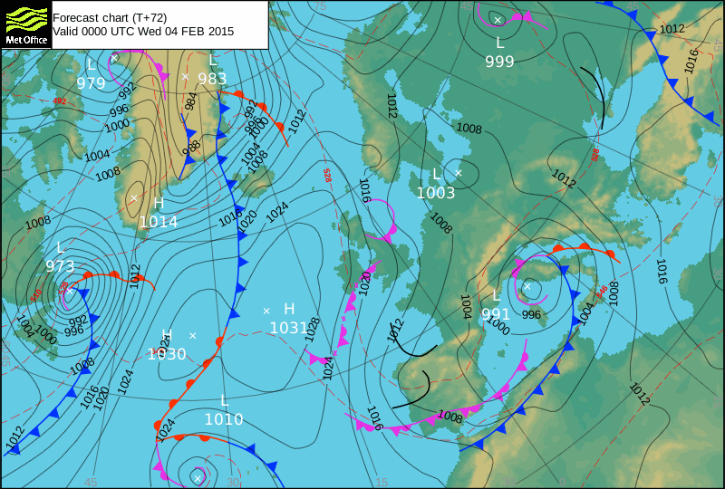
Well, it looks that way. We should enjoy that little kink in those isobars, a little sliver of high pressure reaching over us, allowing calm and fine conditions, if just for a little while.
It will be interesting to see how some of the breaks have developed after the last few weeks’ storms. let’s hope for some nicely placed sandbanks to focus those swell lines!
Surf Conditions for the Start of the Week
A very chilly but much calmer week is waiting, a blessed relief after the last few weeks of incessant storms!
But it is still going to be cold!
The wind has parked itself to the north, those air streams bringing properly cold air all the way down to us but much lighter and far better for wave shaping.
So, Monday is looking promising, a very decent three feet plus of leftover storm swell combining with a much further travelled little groundswell combining to produce some nice swell lines all to be groomed by that more easterly wind.
That should last all day, lighting up all of our favoured surf breaks but that wind still having enough north in it to pierce your wetsuit if you have a gap!
There should be signs of a new swell making for more solid conditions for Tuesday, the wind easing to a light breeze in the morning, freshening offshore through the afternoon.
And then the wind should settle to the north east for pretty much the rest of the week, the swell easing through midweek ad maybe dropping to just a couple of feet for a day or two before the effects of that next low pressure in the queue start to show themselves for the ned of the week.
Yep, we should be in for a good week of cold water surfing!
Have a great week, wherever you are and whatever you’re doing!