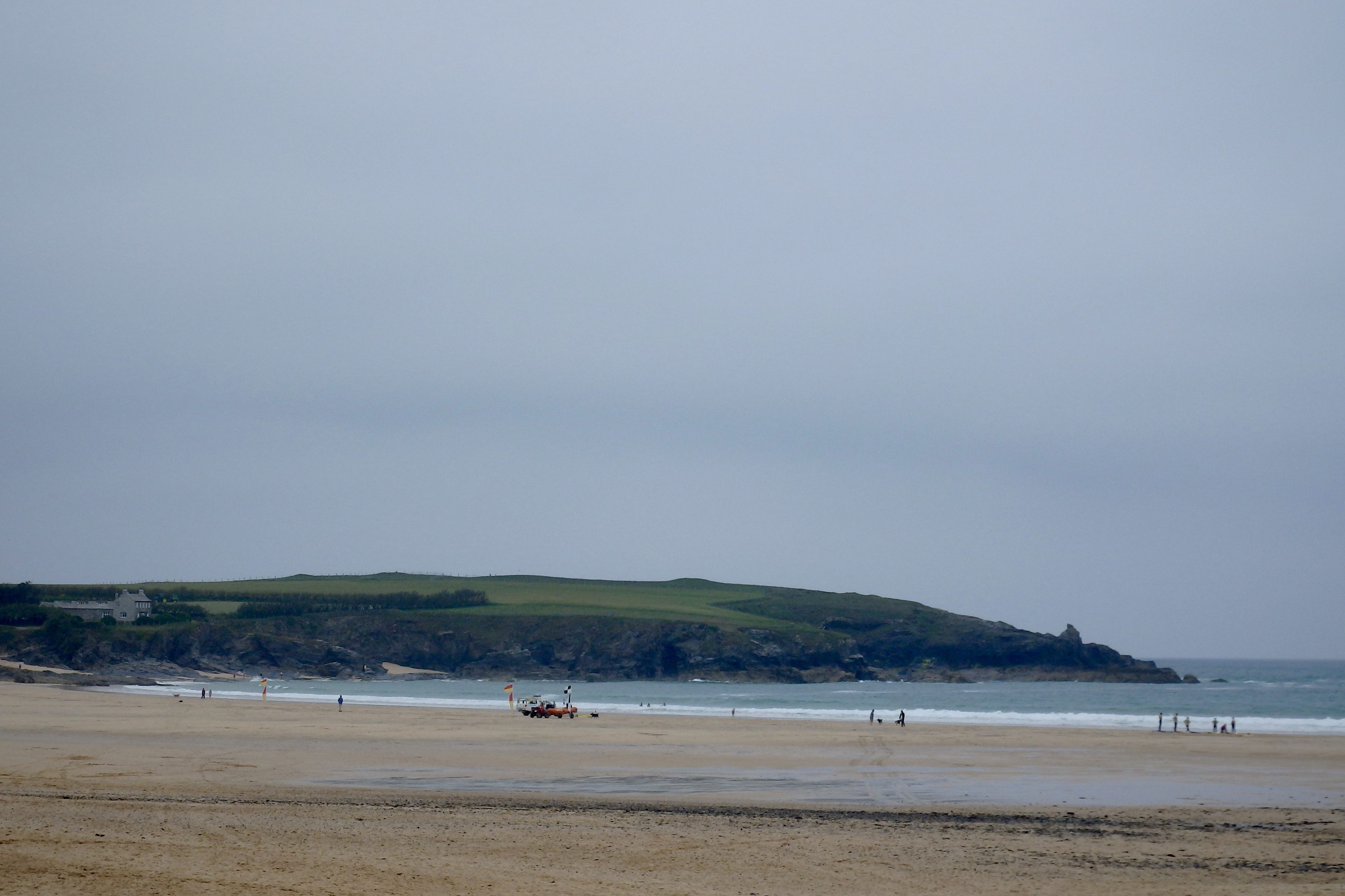
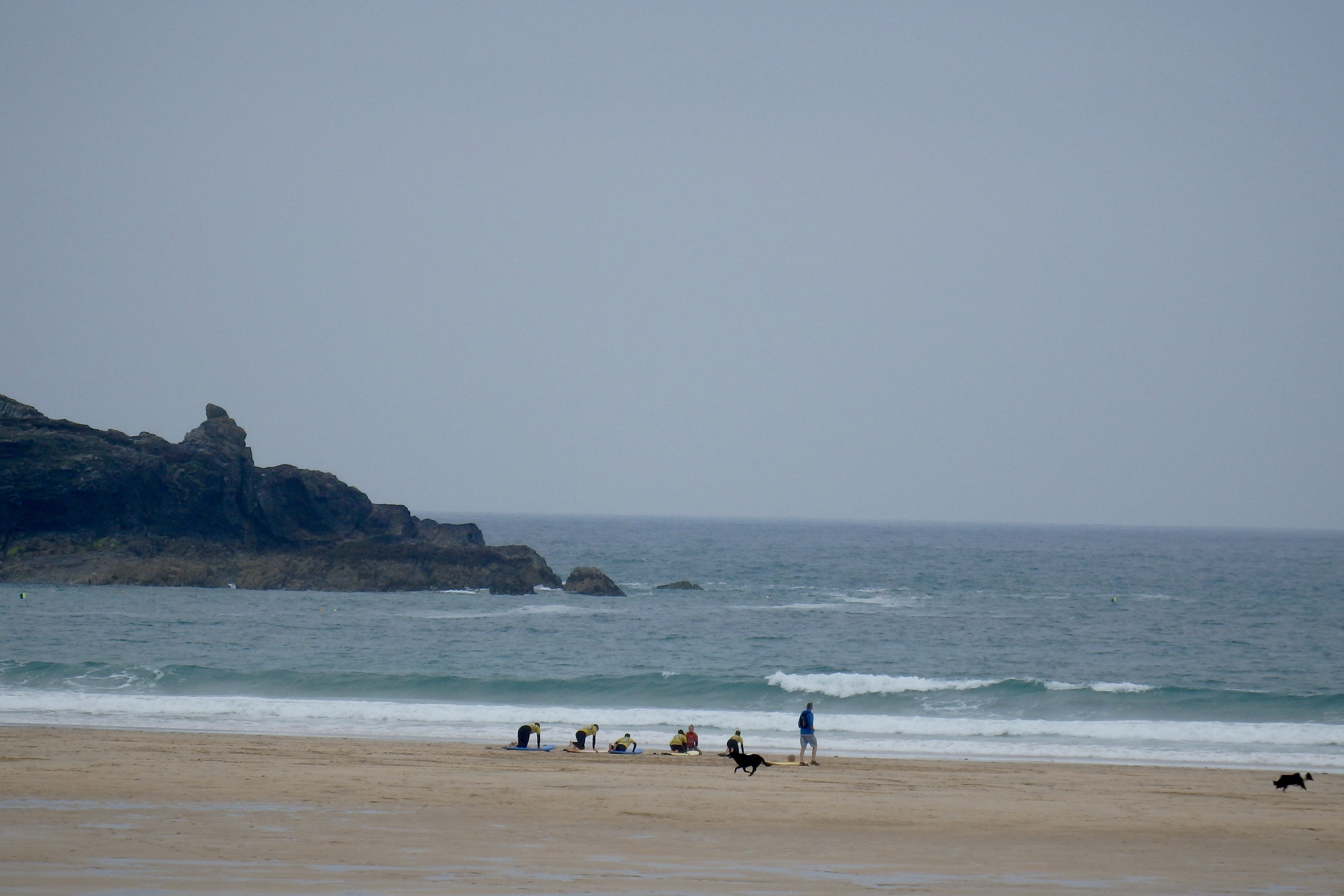
At 10.35 a.m:
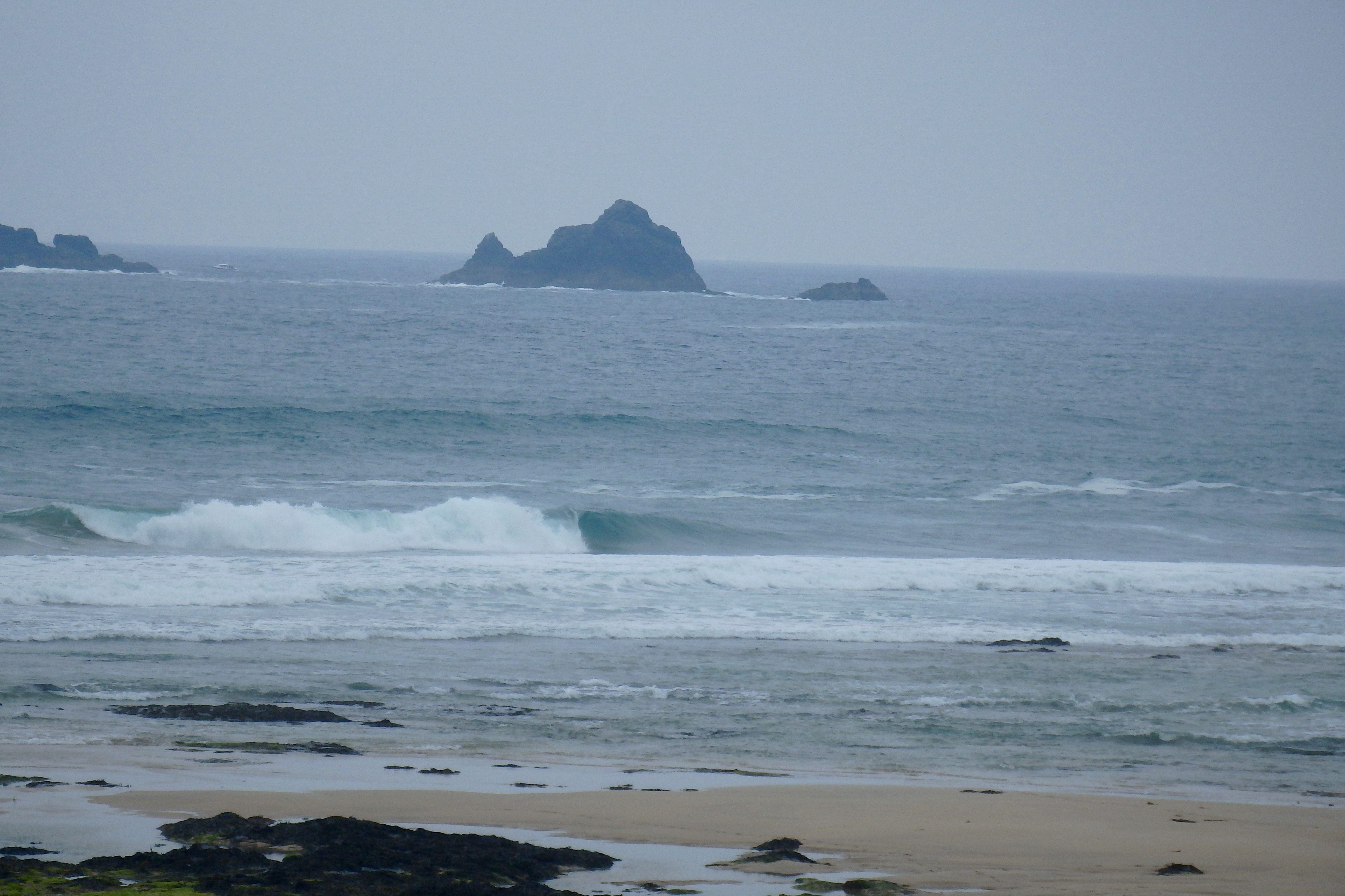
Constantine (3*): 4 feet.
Another (very) late report after an early quick trip to sunny Truro.
Unfortunately it’s not that sunny here though, a blanket of low cloud cover stretching along the coastline with a line of blue just visible over there.
The surf is pumping though, a four foot swell being buffeted by a lively onshore, nor’ westerly wind, not that strong but strong enough to move some water around and make that paddle a bit of a chore. But in amongst the slop and chop there are those grinding, hollow one that make it worthwhile!
Ollie says ‘it’s five feet and messy with a strong rip dragging to the Point’.
So, it’s not great but there are some chunky and fun ones coming through if you fancy the paddle!
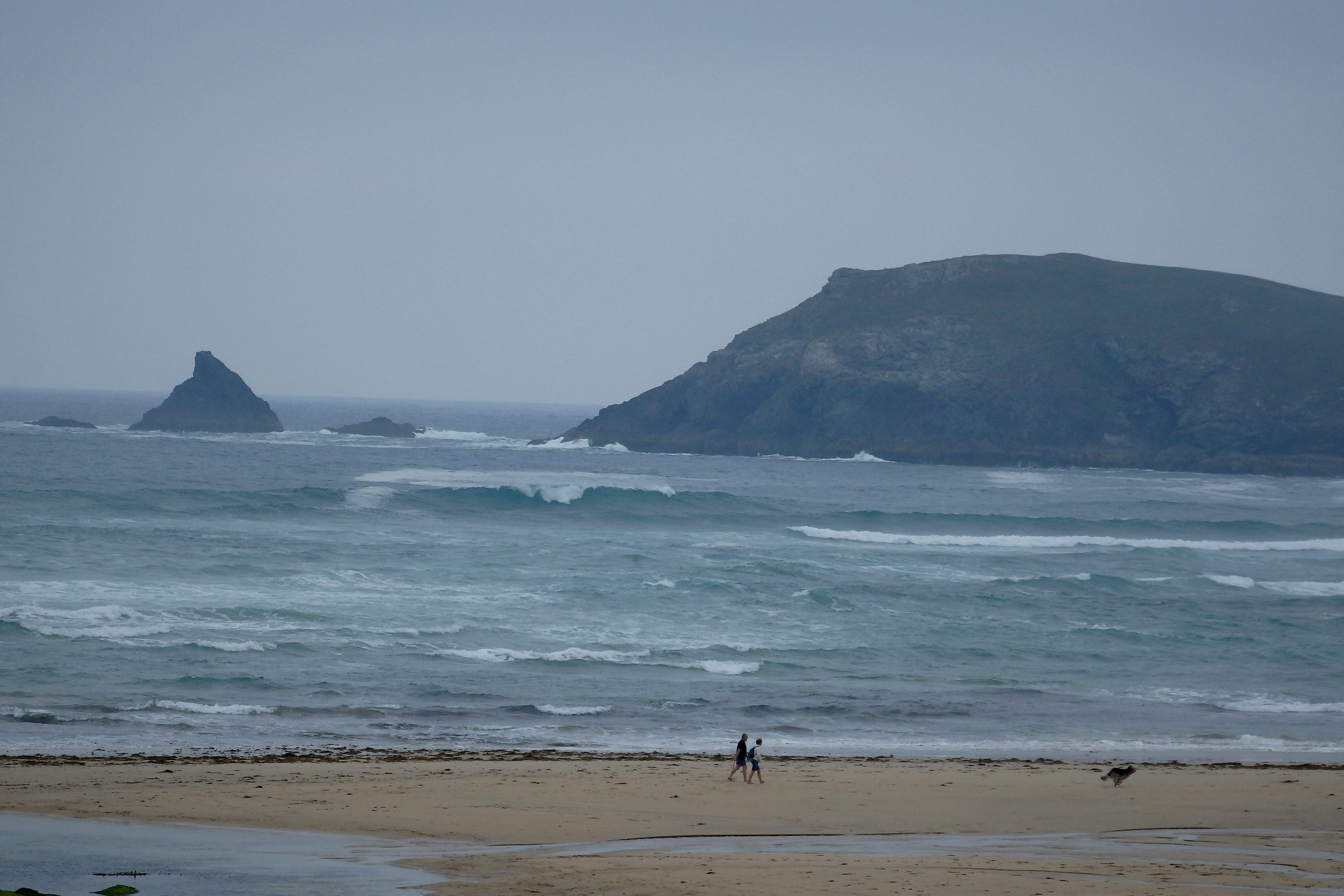
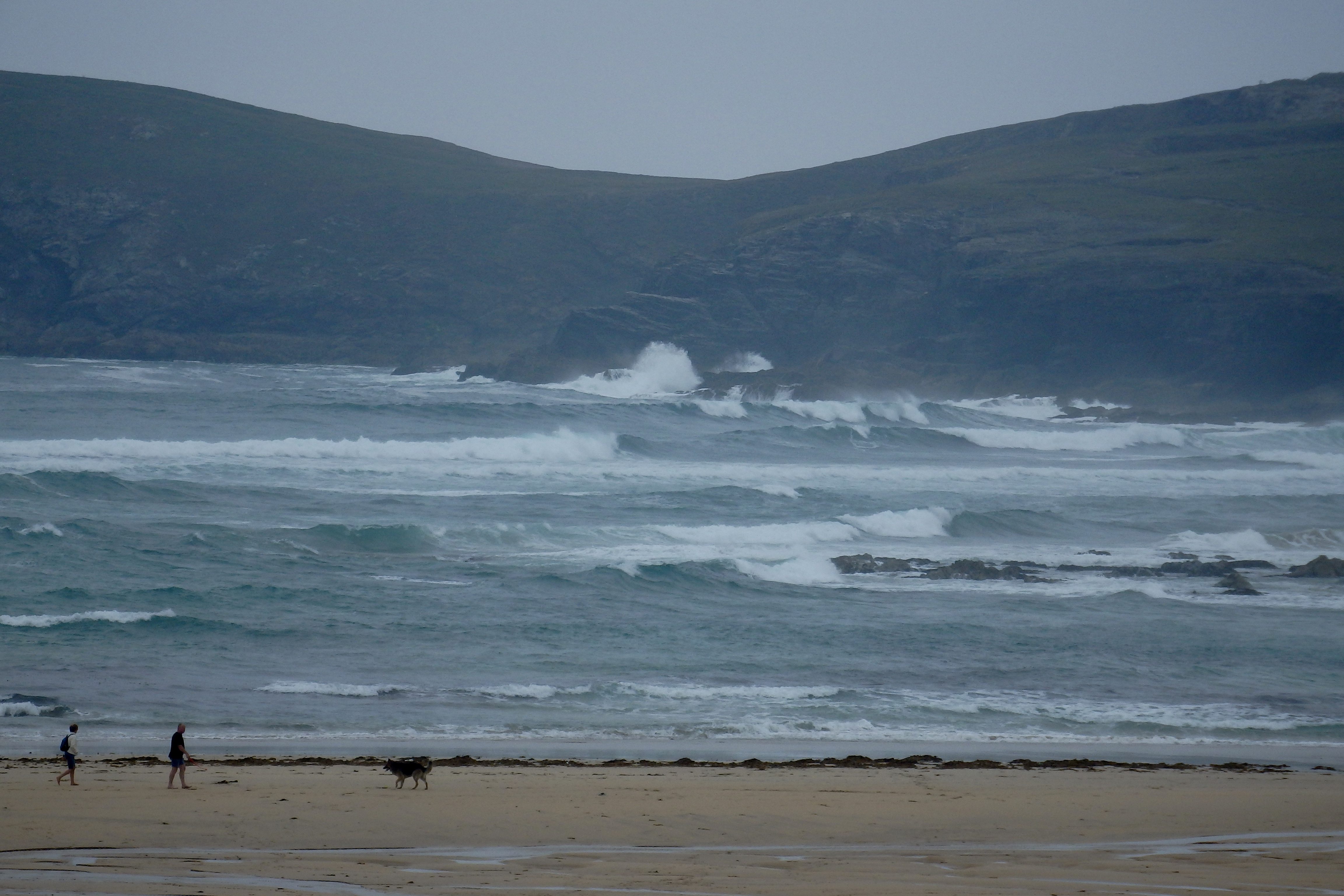
Harlyn (2*): 2 to 3 feet.
The surf is pretty small around here right now but the tide is just starting to push and looking at the other side of the headland you have to think that it’s going to build.
The north westerly wind is gusting straight in and churning those little waves but also making for some snappy little launch pads!
So, give it a couple of hours and there should be some lumpy ones to play in if you don’t fancy the drive to the south coast!
Today’s Tide Times:
Low Tide: 09:46 (2.1m) High Tide: 15:43 (6.1m)

Surf Forecast for Friday 17th June 2016
More onshore, north westerly winds are expected but with some more settled brightness to cheer us all up maybe.
The surf is likely to be a little smaller, a couple to three feet at the main surf breaks and smaller on the far coast (if you’re looking for cleaner conditions!).
Surf Conditions for the Weekend
Onshore winds are likely to plague this coast as the week winds down and that chunky swell from Thursday is likely to weaken off too as we enter the weekend.
So we are likely to be enjoying only a couple to three feet of onshore slopped surf for most of the weekend. But at least the weather should be dry enough and bright enough to cheer everyone up although there is always going to be that chance of a random downpour here and there, especially through Sunday.
Our best bet for better waves are going to be around higher tide, early in the morning or late evening, while the wind is calmer and the tide is helping what swell there is.
And it is always fun to get those sloppy little launch pads to fly from anyway!
Have a great weekend wherever you are and whatever you’re doing!
SJ’s Surf Forecast for the SW
Forecast last updated at 08:50 Thursday 16th June 2016
Hi everyone – these updates are currently made at any time of the day as and when I get the time/chance to update – however from September the intention would be for it to be updated every weekday morning by 10am.
[Don’t forget to look at this forecast the day before you go beach for the latest, as things can often change!]
The Rest Of The Week:
‘Meh! The sun and good surf has gone away, and it’s time now for a wet and windy day/week. Plenty of swell for most of the week, but with mostly onshore conditions for the North, and too small for the south to really work.’
Sunrise and sunset – 05:10 and 21:30
Twilight starts and ends – 04:25 and 22:15
Midday – 13:20
Length of day – 16:20
Offshore Sea Temp approx – 14.5C / 58F
outputmodelrun-160616-0840
Monday 13th:
‘Could be OK if you get on it early! The winds will soon increase in strength and swing onshore though.’
Swell – (i) OK W-WSW going Weak W
Wind – Light-Medium SW going Medium W
Weather – Cloudy/overcast but mostly dry
North Coast – 4-5ft (Chest-Shoulderhigh) going 5-6ft (Shoulder-Headhigh)
South Coast – 1-2ft (Kneehigh)
Tides – 06:32 Low, 12:31 High, 18:57 Low (Neap tides)
Tuesday 14th:
‘Winds are too strong and onshore today – creating messy onshore lumpy surf with no underlying quality to the swell anyway.’
Swell – (i) Weak W
Wind – Medium W
Weather – Overcast with light rain showers
North Coast – 6ft (Headhigh) going 4-5ft (Chest-Shoulderhigh)
South Coast – 1-3ft (Knee-Waisthigh) going 1-2ft (Kneehigh)
Tides – 07:40 Low, 13:38 High, 20:04 Low
Wednesday 15th:
‘Onshore to the North, but a longer period swell will push through, making for an onshore for ‘chunky’ wave later on.’
Swell – (i) OK going Strong W
Wind – Light-Medium W going NW
Weather – Overcast with heavy rain showers
North Coast – 4-5ft (Chest-Shoulderhigh)
South Coast – 1-2ft (Kneehigh)
Tides – 08:42 Low, 14:40 High, 21:05 Low
Thursday 16th:
‘Onshore for the North, however the south may have a small but clean wave in the morning if you know where to look there!’
Swell – (i) OK W
Wind – Light-Medium going Medium N-NW
Weather – Mixture of cloud, sunshine,and rain
North Coast – 4-6ft (Chest-Headhigh) going 3-4ft (Waist-Chesthigh)
South Coast – 1-3ft (Knee-Waisthigh) going 1ft (Flat)
Tides – 09:35 Low, 15:31 High, 21:55 Low
Friday 17th:
‘A return to smallness – onshore slop on the North, and the south will be almost flat.’
Swell – (i) Weak W-WNW
Wind – Medium N-NW
Weather – Cloudy with some rain showers and sunny spells
North Coast – 2-3ft (Knee-Waisthigh) going 1-3ft (Knee-Waisthigh)
South Coast – 1ft (Flat)
Tides – 10:20 Low, 16:16 High
Weekend Summary:
Gold Coast OceanFest 2016 @ Croyde, North Devon
GC16-TwCover060516
‘Not much about surf wise this weekend! Enough for beginners/learners/surf schools though.’
Saturday 18th:
‘Small onshore messy slop.’
Swell – (i) Weak W-WNW (ii) Faint going OK W
Wind – Light-Medium N going NW
Weather – Cloudy but with plenty of sunny spells
North Coast – 1-2ft (Kneehigh)
South Coast – 0ft (Flat)
Tides – 04:34 High, 11:00 Low, 16:56 High
Sunday 19th (Fathers Day):
‘Small with cross-onshores.’
Swell – (i) OK W (ii) Faint going Weak W-WSW
Wind – Light-Medium W-SW going Medium SW
Weather – Overcast with a chance of light rain by evening
North Coast – 1-2ft (Kneehigh) going 2-3ft (Knee-Waisthigh)
South Coast – 1ft (Flat)
Tides – 05:13 High, 11:37 Low, 17:33 High
Early Next Week:
‘More of he same as the last week, with a small swell most days (bigger swell on Tuesday), but it’s accompanies by predominantly SW veering W-NW winds.’
The scale for measuring conditions:
0-1ft – Unridable/Flat
1-2ft – Kneehigh
3ft – Waisthigh
4-5ft – Chest/Shoulderhigh
6ft – Headhigh
6-8ft = 1-1.5x Overhead
8-10ft = 1.5x Overhead
10-12ft = 2x Overhead
Please Note!
Wave height predictions are based on the larger breaks on both coasts such as Fistral and Croyde for the North, and Praa Sands and Bantham for the South.
Wave height is measured from the front of the wave, and 6ft would usually mean a ‘head-high’ wave.
Try and use some ‘local’ knowledge about what the wave sizes will be elsewhere. For example the Newquay Bay area is generally 1/3 to 3/4 the size of Fistral, increasing the further up the bay you go from Towan to Lusty Glaze, and that it will be clean on a W wind at ‘harbour left’ at Towan at mid-tide’ for example.
Tide times are based on Newquay.
Stay Stoked!
SJ