At 6.10 a.m:
Constantine (2*): 1 to 2 feet.
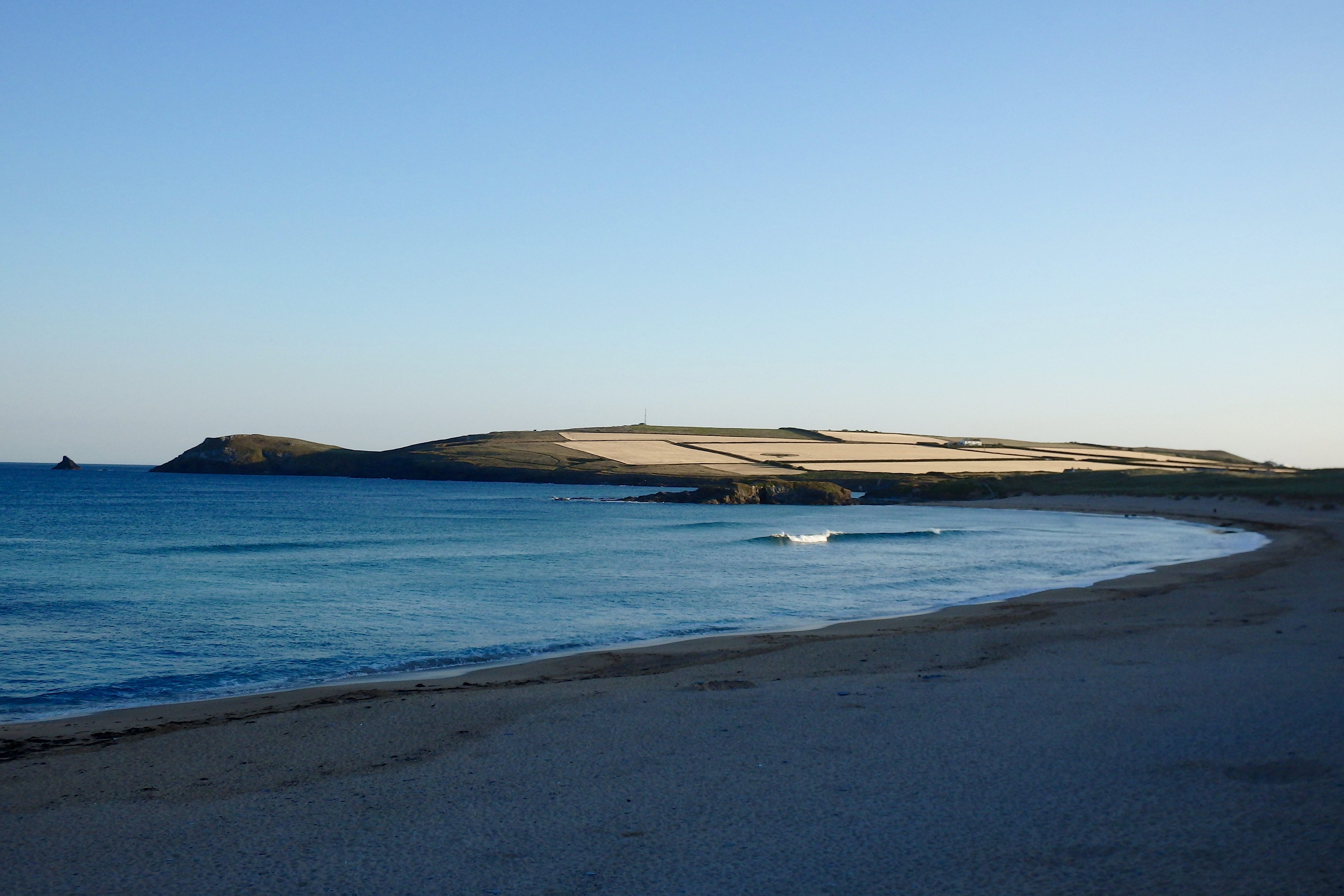
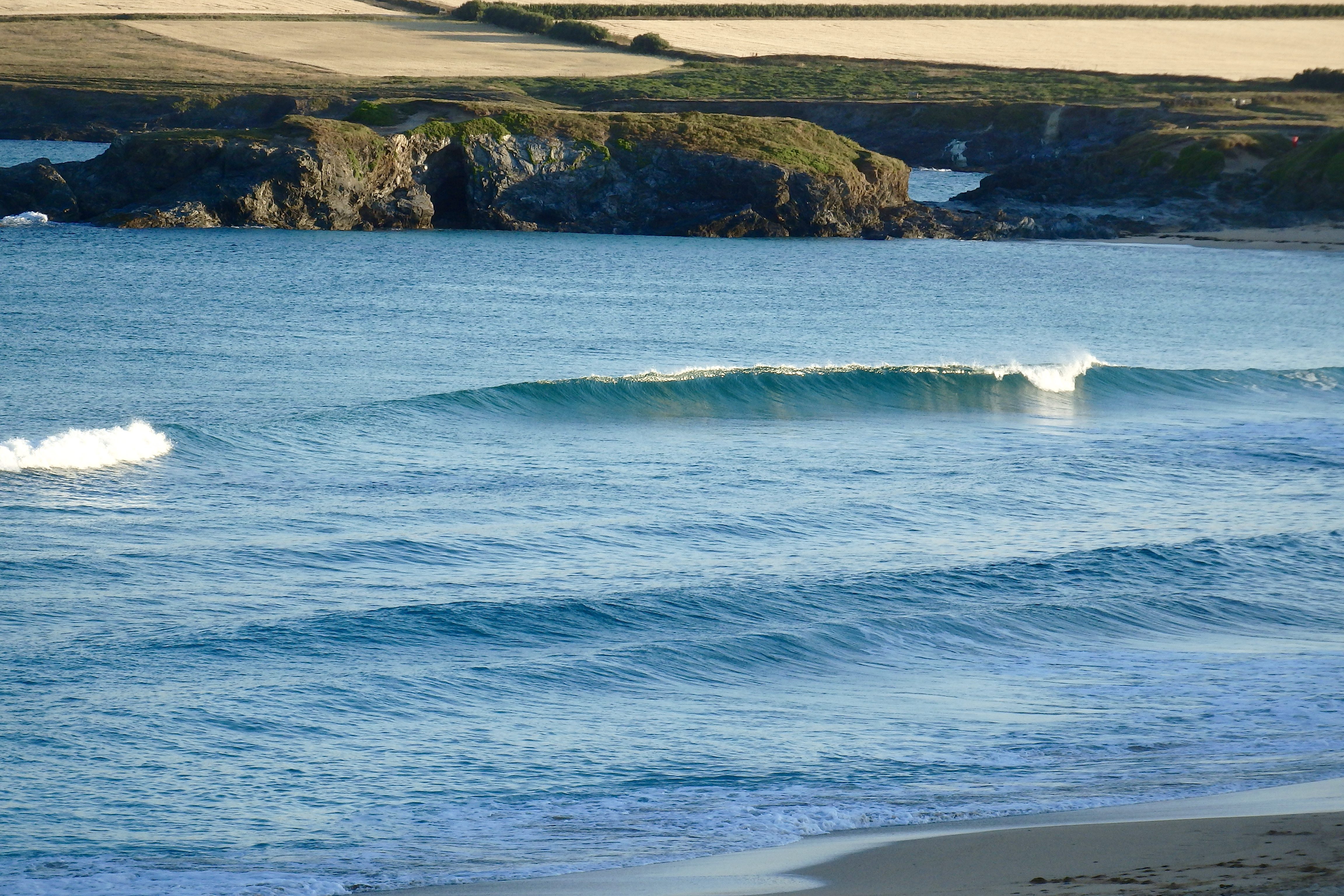
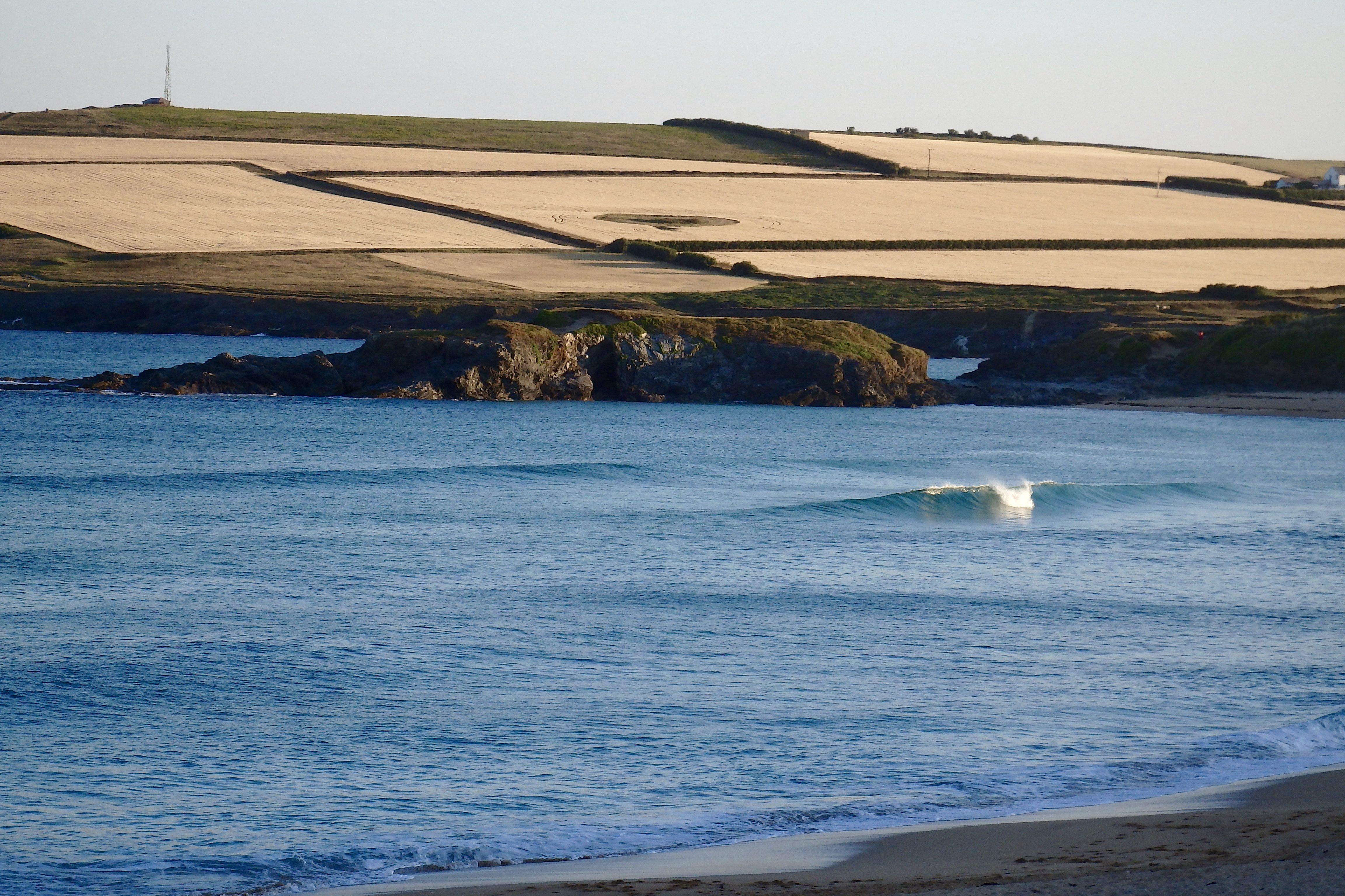
It is yet another fabulous day down in the bay this morning as the breeze drifts offshore to meet some gorgeously pretty little waves beneath a vast sky of super blue!
Temperatures are high and that still low sun is packing a punch already, promising another hot and sunny one as this mini heatwave peaks through the day.
The waves are small though, perfectly shaped and beyond pretty as they shimmer towards shore but not much bigger than a foot or maybe occasionally two. If the wind doesn’t strengthen too much we should have some fun and peeling, perfect little waves to glide across all day long, as long as the wind stays light!
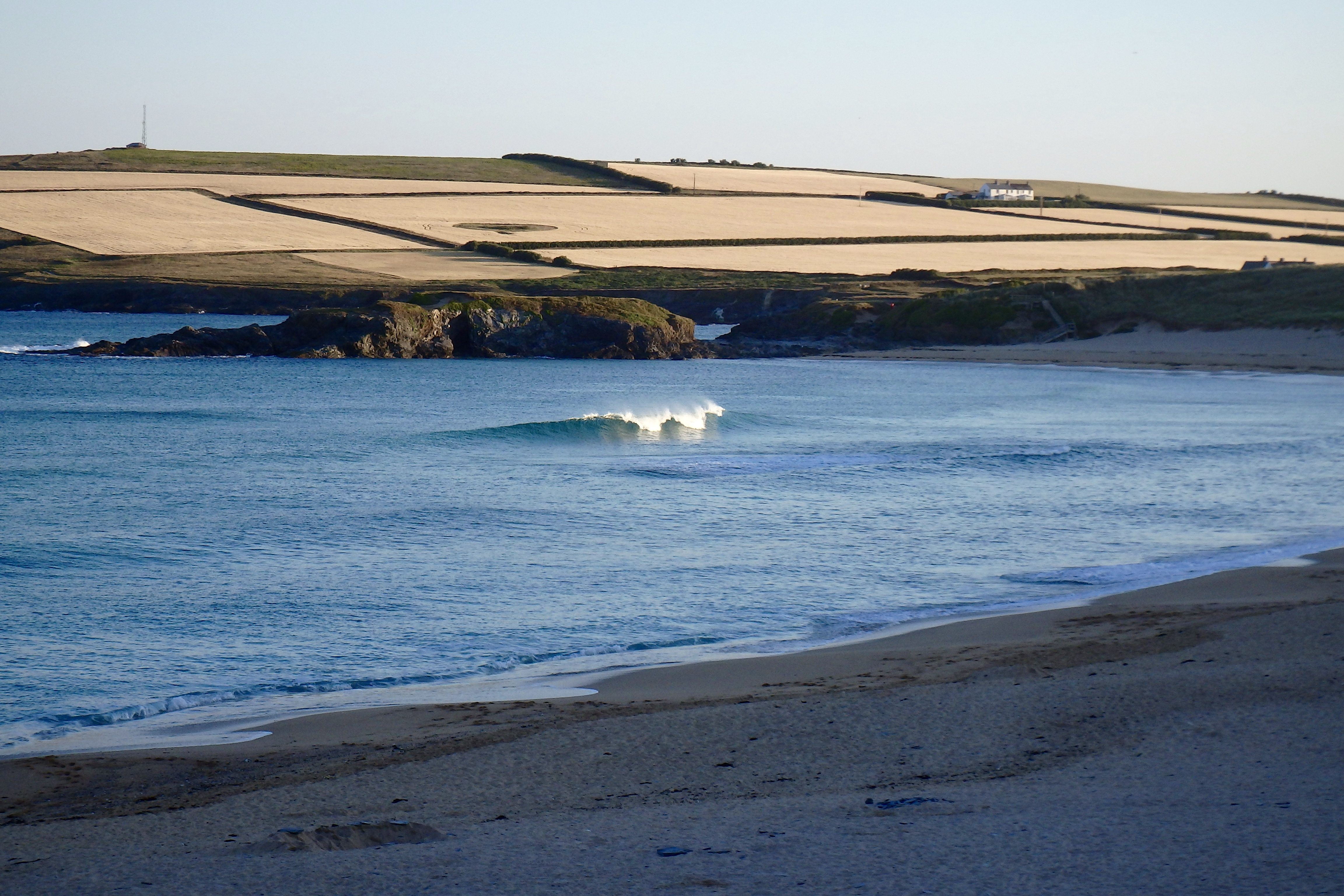
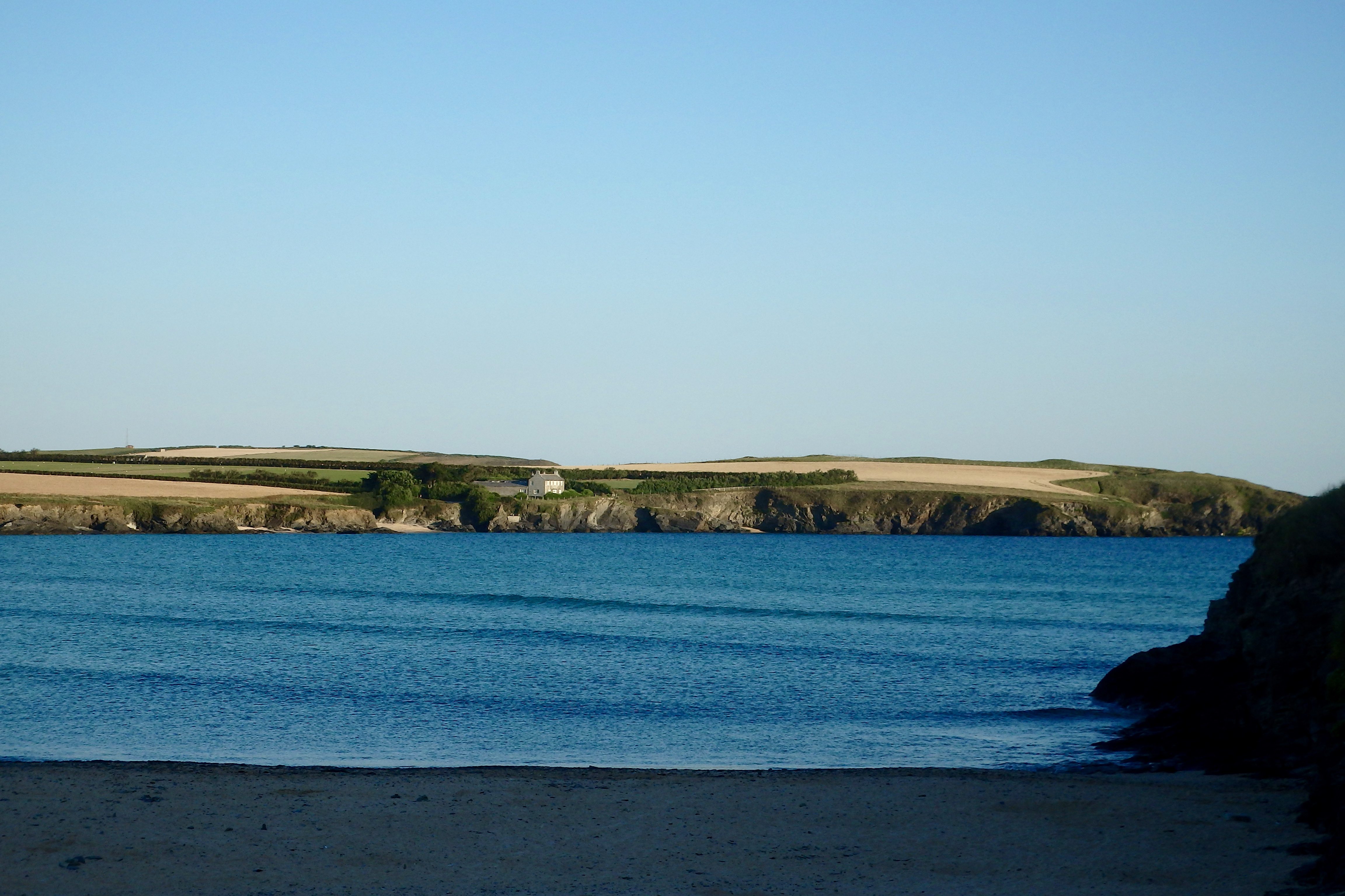
Harlyn (0*): 0 to 1 foot
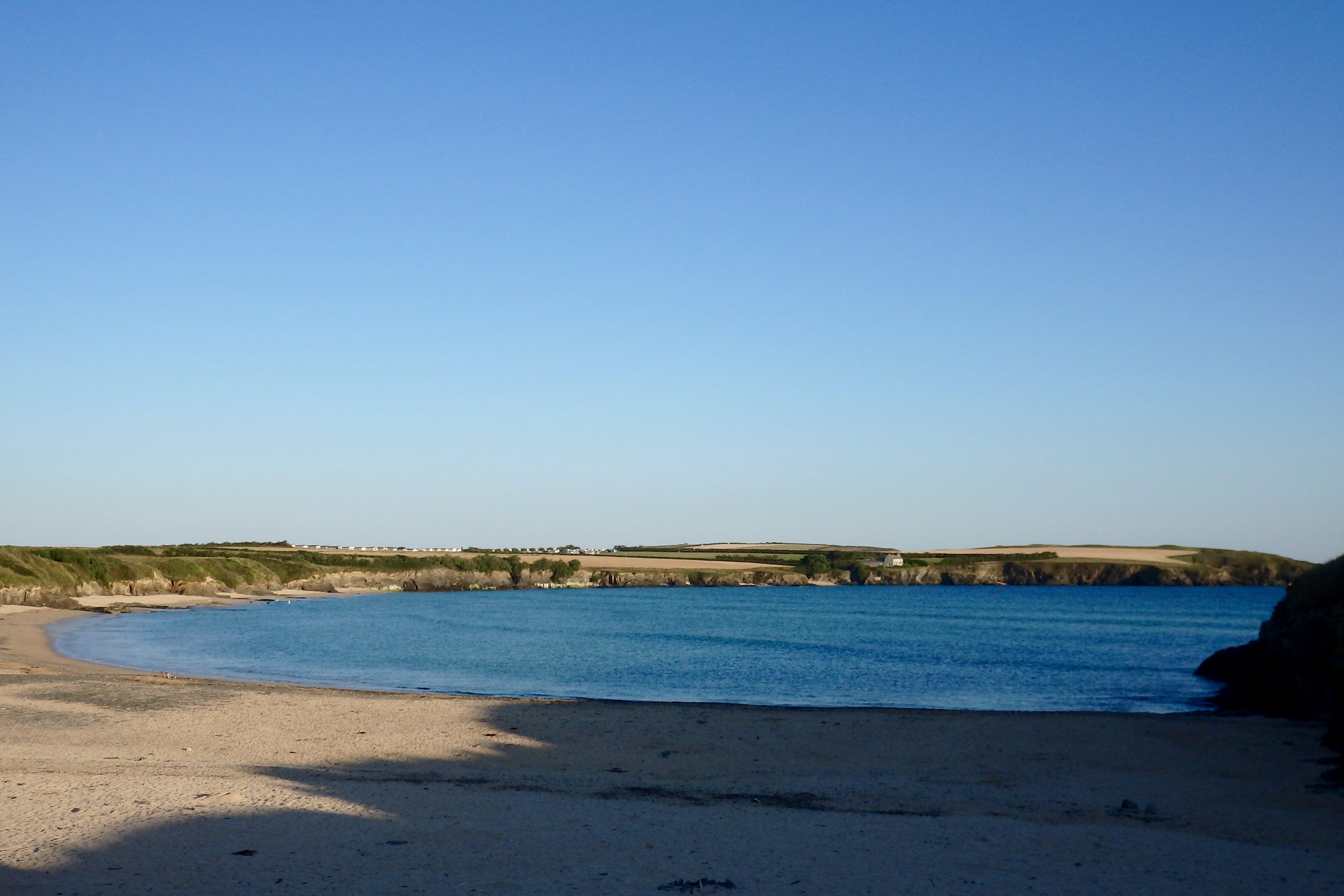
It’s almost flat here this morning with tiny shadows of a smooth and steady, evenly spaced little swell softly sliding shorewards.
It is a fantastically beautiful place to just be this morning and is tempting and teasing for a swim or a paddle but the surf is all over on the other side of the headland today!
Today’s Tide Times:
Low Tide: 12:12 (1.4m) High Tide: 18:06 (7.0m)

Surf Forecast for Wednesday 20th July 2016
The wind is forecast to back to the south west today, making for fresher conditions but putting a chop into the small surf.
And so we are going to be enjoying some very small and quite sloppy surf today, hopefully with some mainly fine weather but not quite as it has been!
Normal conditions might resume!
Surf Conditions for the Start of the Week
Smooth and clean conditions are expected to start this week’s surf conditions, the breeze set from the south east for a day or two while a small but steady little swell continues to peel our way.
The longboarders should be having a glide through Monday and Tuesday as a foot or two of peeling little swells shimmy into the bays and coves all along the coast. It’s a shame that there won’t be anything bigger but then, it is Summer and so we’ll have to accept what we can find!
By midweek the breeze will have settled back to the west, onshore but hopefully only very lightly onshore. And that should at least support those little swells and keep them rolling our way.
So, a summery week awaits, full of promise for some clean and fun, bright and sunny surfing!
Have a great week, wherever you are and whatever you’re doing!
SJ’s Surf Forecast for the SW
Forecast last updated at 08:30 Tuesday 19th July 2016
Hi everyone – these updates are currently made at any time of the day as and when I get the time/chance to update – however from September the intention would be for it to be updated every weekday morning by 10am.
[Don’t forget to look at this forecast the day before you go beach for the latest, as things can often change!]
The Rest Of The Week:
‘Fantastic start to the week – make the most of this classic Summer spell before conditions deteriorate!’
Sunrise and sunset – 05:35 and 21:20
Twilight starts and ends – 04:55 and 22:00
Midday – 13:25
Length of day – 15:45
Offshore Sea Temp approx – 16.5C / 62F
outputmodelrun-190716-0830
Monday 18th:
‘Stunning day. Surf will be going off. Get on it!’
Swell – (i) OK W going Weak W-WNW
Wind – Light-Medium ESE-SE
Weather – Hot summery blue sky day.
North Coast – 3ft (Waisthigh) going 2-3ft (Knee-Waisthigh)
South Coast – 1ft
Tides – 11:13 Low, 17:09 High
Tuesday 19th:
‘Smaller than Monday, but with offshores and sunny weather – it’ll still be a great day. Wind strength will decrease throughout the day with light/variable conditions and a potential glass off around sunset. Will build slighlty during the day, especially on the tidal push this afternoon.’
Swell – (i) Weak going OK W-WNW
Wind – Medium SE going Light Variable around sunset
Weather – Hot Summery blue sky day. Clouding over in the evening.
North Coast – 1-2ft (Kneehigh) going 2-3ft (Knee-Waisthigh)
South Coast – 1-2ft (Kneehigh) going 1ft
Tides – 05:29 High, 11:51 Low, 17:48 High
Wednesday 20th:
‘A return to onshore conditions for the North with WNW winds and cloudier skies. There will be waves, but onshore/messy.’
Swell – (i) OK W-WNW
Wind – Medium WNW going Light-Medium W-WNW
Weather – Chance of thunder/rain first thing, then a mixture of cloud and sunshine.
North Coast – 2-3ft (Knee-Waisthigh) going 3-4ft (Waist-Chesthigh)
South Coast – 1-2ft (Kneehigh)
Tides – 06:08 High, 12:29 Low, 18:27 High
Thursday 21st:
‘There’ll be waves aplenty on the North,but they’ll lack any real qulity with the SW winds.’
Swell – (i) OK W-WNW going Weak W
Wind – Light-Medium SW
Weather – Mixture of cloud, sunshine, and showers. Feeling cooler/fresher, but still warm.
North Coast – 3-4ft (Waist-Chesthigh) going 3ft (Waisthigh)
South Coast – 1-2ft (Kneehigh)
Tides – 06:47 High, 13:07 Low, 19:07 High
Friday 22nd:
‘A clean wave on the North first thing around the high/dropping tide at semi sheltered spots. Winds will turn onshore NW later on though.’
Swell – (i) Weak W-WSW
Wind – Light SW going Light-Medium NW
Weather – Mixture of cloud, sunshine, and showers.
North Coast – 3ft (Waisthigh)
South Coast – 1ft
Tides – 07:28 High, 13:49 Low, 19:48 High
Weekend Summary:
‘Poor quality waves with a weak swell and onshore conditions, but at least it won’t be flat.’
Saturday 23rd:
‘Onshore sloppy surf. However, depending how light the winds go later on – it could improve slightly.’
Swell – (i) Weak W
Wind – Light W going Light+ WSW
Weather – Cloudy but dry.
North Coast – 3ft (Waisthigh)
South Coast – 1ft
Tides – 08:09 High, 14:31 Low, 20:31 High
Sunday 24th:
‘SW winds and a weak swell will mean not much quality to the surf, but at least it won’t be flat.’
Swell – (i) Weak W
Wind – Light-Medium WSW-SW
Weather – Cloudy but dry.
North Coast – 3-4ft (Waist-Chesthigh)
South Coast – 1-2ft (Kneehigh)
Tides – 08:52 High, 15:14 Low, 21:15 High
Early Next Week:
‘Too early to tell yet.’
The scale for measuring conditions:
0-1ft – Unridable/Flat
1-2ft – Kneehigh
3ft – Waisthigh
4-5ft – Chest/Shoulderhigh
6ft – Headhigh
6-8ft = 1-1.5x Overhead
8-10ft = 1.5x Overhead
10-12ft = 2x Overhead
Please Note!
Wave height predictions are based on the larger breaks on both coasts such as Fistral and Croyde for the North, and Praa Sands and Bantham for the South.
Wave height is measured from the front of the wave, and 6ft would usually mean a ‘head-high’ wave.
Try and use some ‘local’ knowledge about what the wave sizes will be elsewhere. For example the Newquay Bay area is generally 1/3 to 3/4 the size of Fistral, increasing the further up the bay you go from Towan to Lusty Glaze, and that it will be clean on a W wind at ‘harbour left’ at Towan at mid-tide’ for example.
Tide times are based on Newquay.
Stay Stoked!
SJ