At 7.35 a.m:
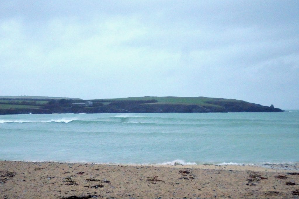
Constantine (2*): 3 to 4 feet
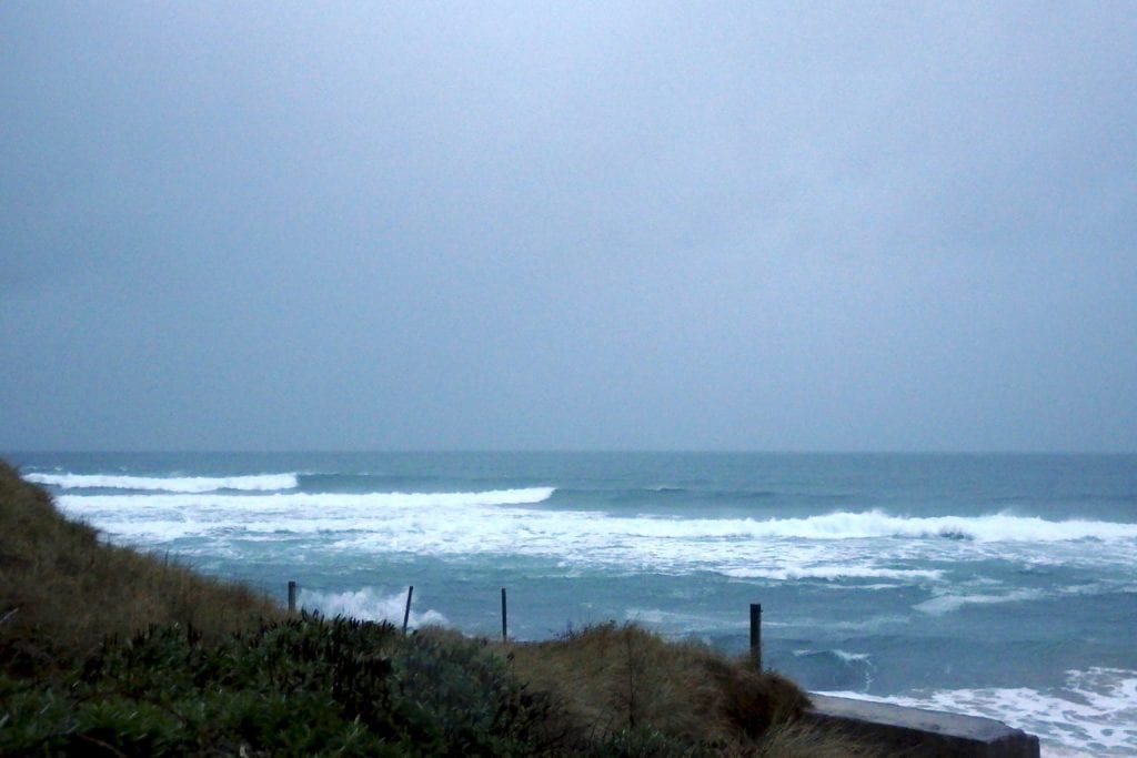
It’s a dreary one, the sky is grey, the air is wet and the wind is starting to blow.
A brisk south sou’ wester is gusting across the dull and dark bay, pulling and pushing at a three to four foot swell that is almost producing some fun high tide peaks.
The tide is too high though and the wind is too strong and today is probably only going to see more of it all too.
The wind is likely to strengthen a lot as it pushes a rapidly building swell into our bays.
It’s going to be big by this evening!
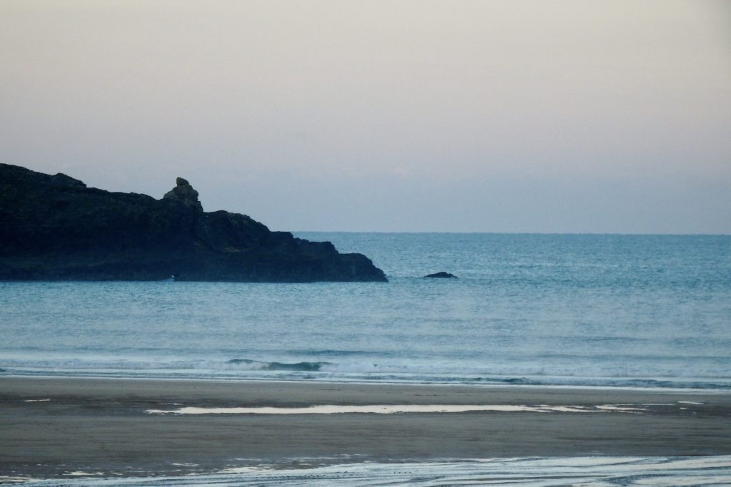
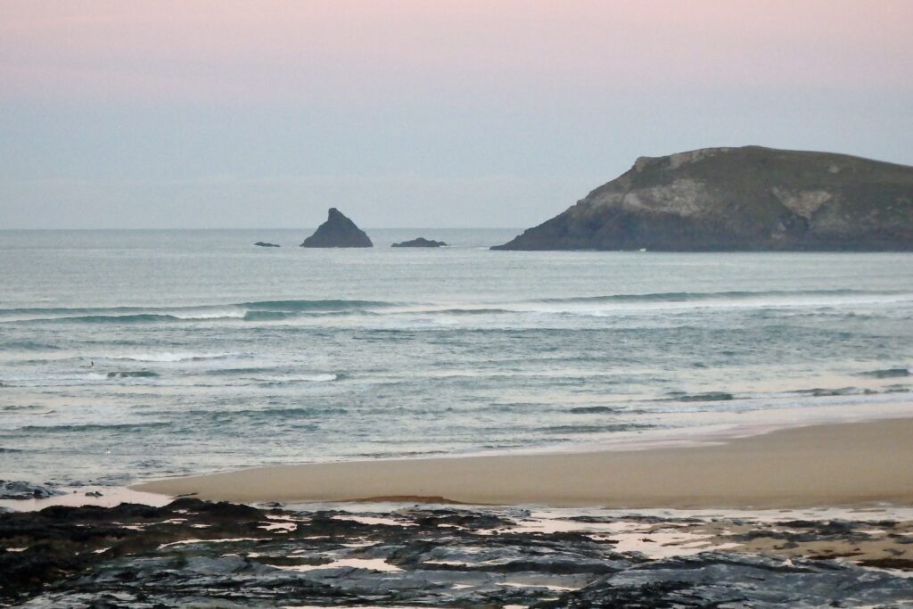
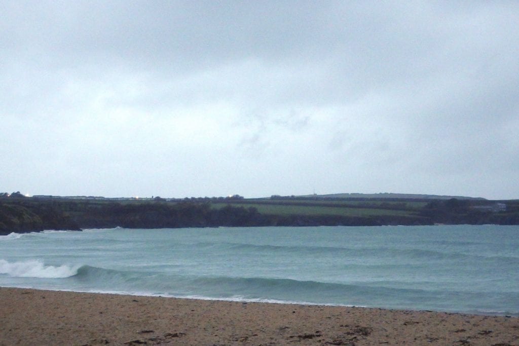
Harlyn (3*): 2 feet

A couple of feet or so of offshore blown peaks are trying to break over that high tide bank that’s just off the beach, the odd one making you almost reach for a longboard.
The wind is offshore, the swell is building, the tide will soon be emptying out and so we should be seeing some cavernous, sand drenched barrels here soon enough. And you won’t be reaching for a longboard then (unless of course that is your steed of choice, even in those conditions!?).
So the weather might be diabolical, the wind might start to squeal and howl but the surf should soon be magnificent!
Today’s Tide Times:
Low Tide: 14:22 (1.4m) High Tide: 20:20 (6.9m)

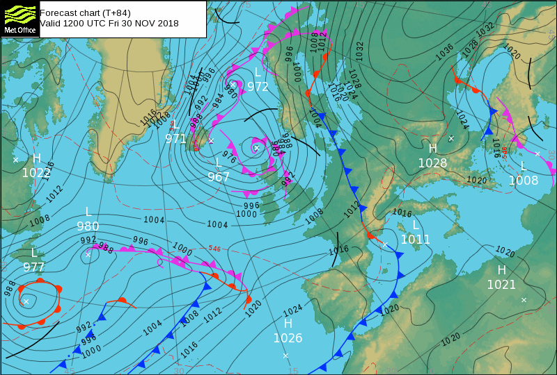
Surf Forecast for Wednesday 28th November 2018
Gale force winds and thunderous surf are likely to be pummelling our coast today, the wind hitting 60 to 70 mph by midday maybe.
So choosing to go surfing when it is 10 to 15 feet, in gale or storm force winds is entirely your choice.
There might just be some fun at those super sheltered, rare breaking spots though!
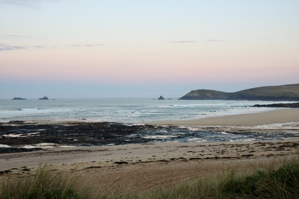
Surf Conditions for the Start of the Week
The gorgeous weekend only reluctantly left us, that bright sunshine and those light offshore breezes steadily giving way to something else.
Monday was a very special start to the week with smooth and clean fun waves to enjoy.
But, inevitably, the wind will strengthen while veering to the south west as Tuesday arrives.
Wilder conditions are going to blow our way with big swells starting to show, Harlyn starting to gain shape and size as the week rolls on.
By midweek we should be seeing some really big swells battering our coastline, sending us all scurrying in search of shelter, or just making do with big and hollow, sand drenched Harlyn shutdowns.
Yep, it is likely to get really big through the back half of the week, so take it easy out there, with that wind and swell combination there could be some tricky situations to keep us all alert!
Have a great week, wherever you are and whatever you’re doing!