At 6.25 a.m:
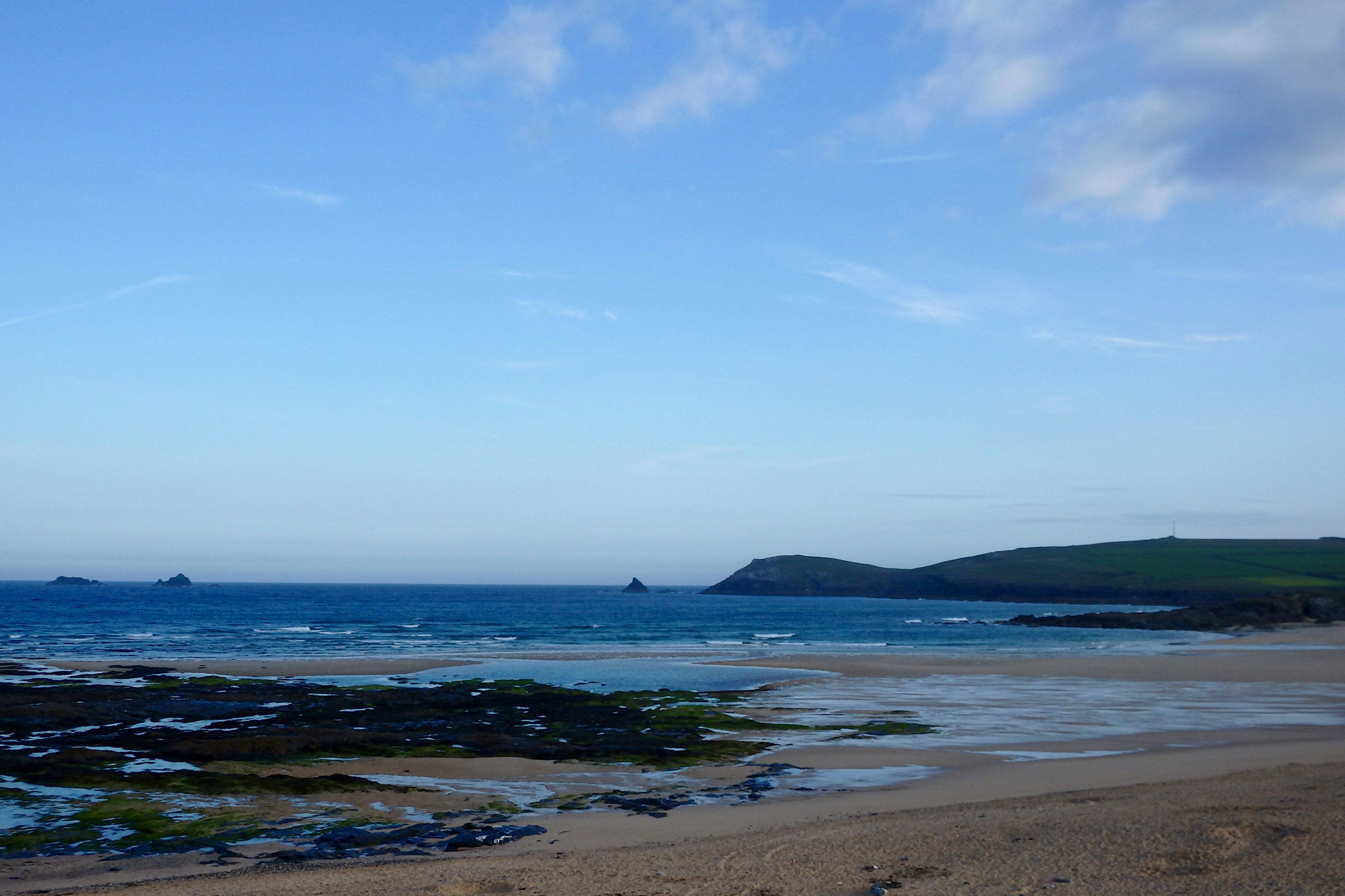
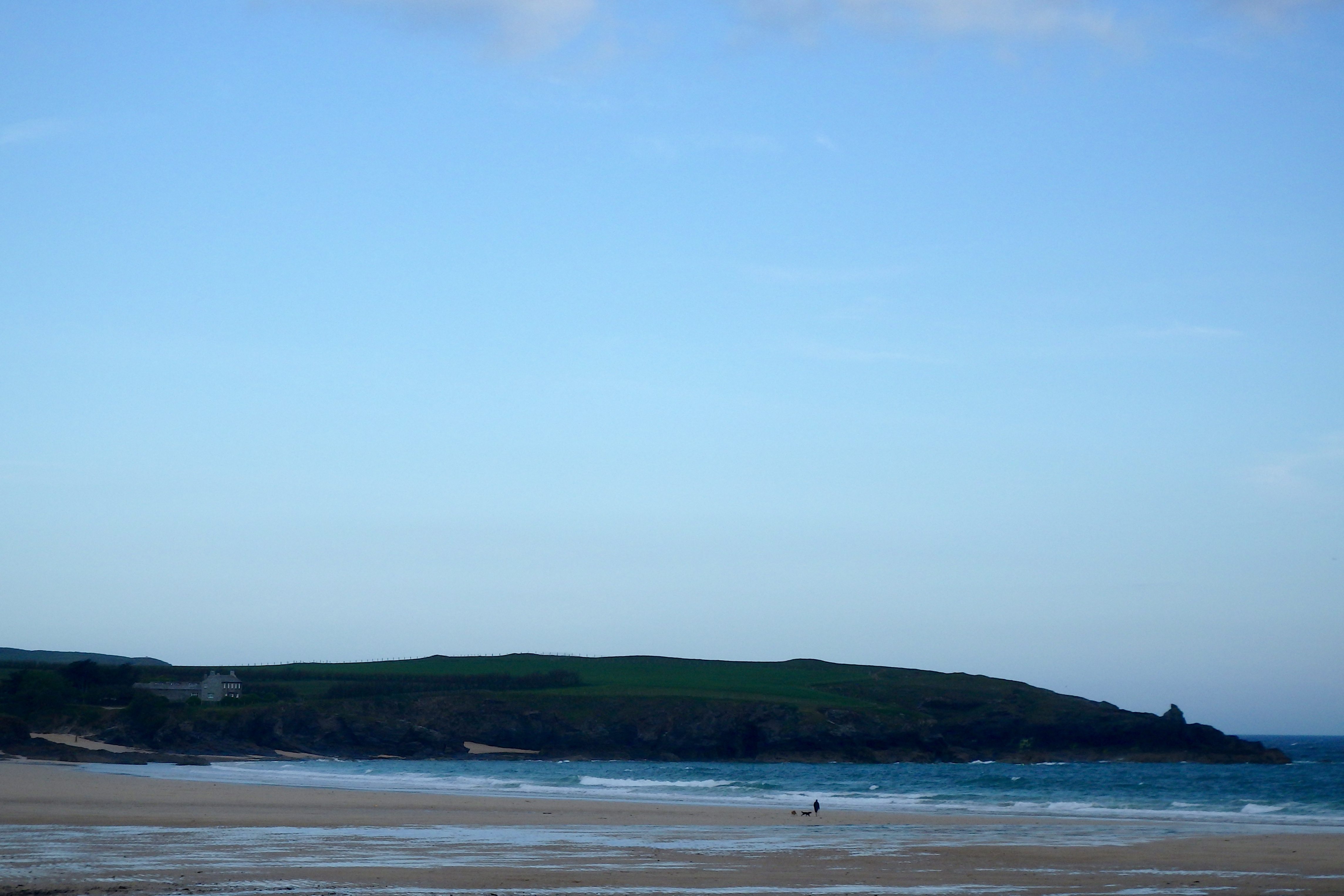
Constantine (1*): 0 to 1 foot.
It’s a little chilly out there this morning with a brisk northerly wind dropping the temperature by a good few degrees.
The sky has a few clumps of grey too, that threat of an instant downpour not too far away. But there are wide spaces of blue just over there too, promising at least some brightness for some of the time.
The surf?
Well, there are some shin to knee high (and you know that it ain’t great when we’re splitting hairs over that difference in size!) and sloppy little mushy waves crumbling onto the beach this morning, that wind pushing and tugging those little waves all over the beach.
It’s a day for other things I think!
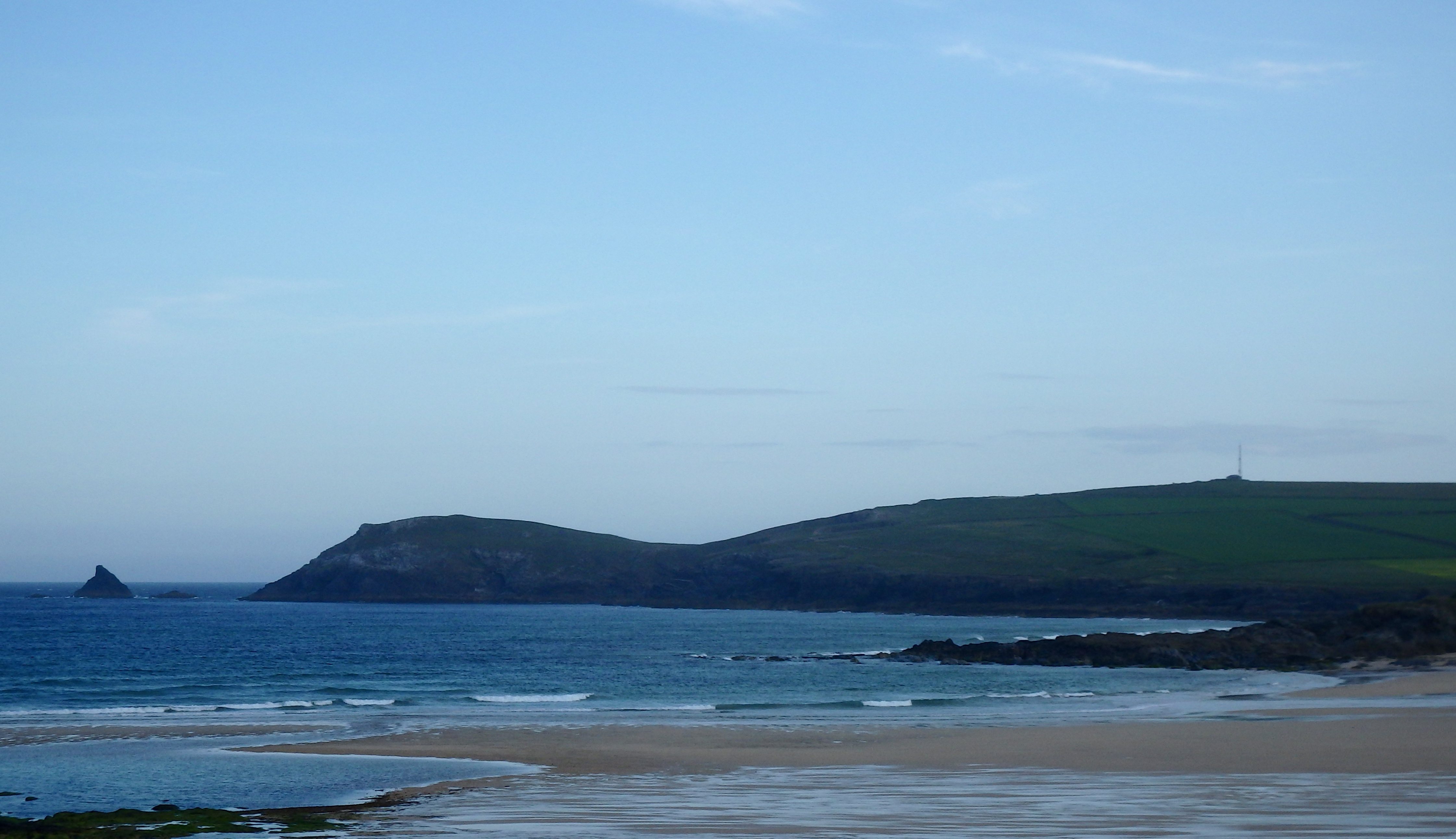
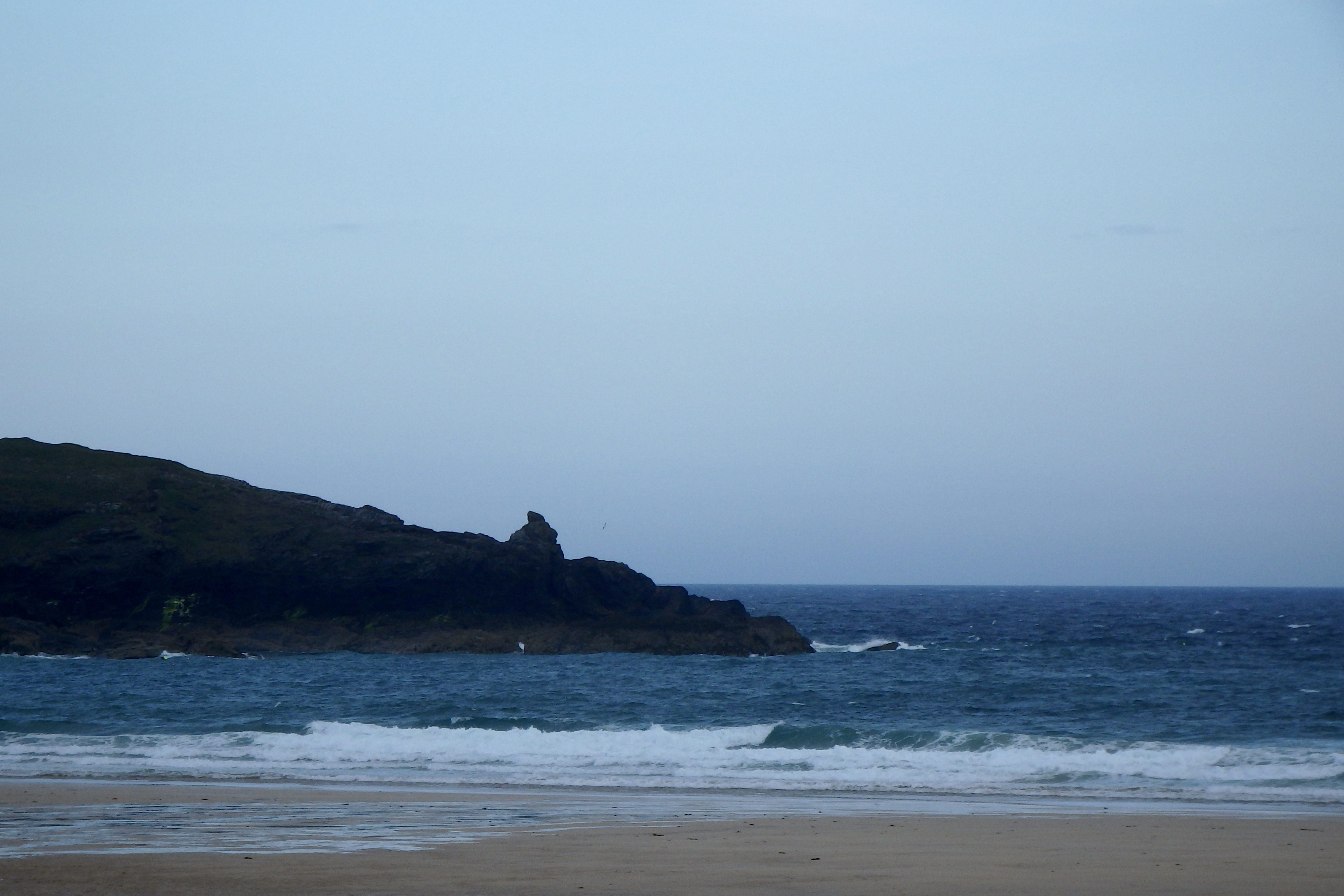
Harlyn (1*): 0 to 1 foot
There are tiny lumps of windblown and sloppy waves bouncing onto the beach a couple of hours ahead of low tide this morning, that northerly wind coldly messing any chance of a pattern to those little waves.
The tide might push something bigger through by early afternoon but in the meantime, it’s no that great!
Today’s Tide Times:
Low Tide: 08:51 (1.5m) High Tide: 14:51 (6.3m)

Surf Forecast for Thursday 2nd June 2016
The wind is likely to back just those few degrees to the east from north for today, helping to improve the shape of those still very small or tiny little waves.
The weather is likely to be mixed today too but with some lengthy brighter spells.
So we could be gliding along some small but clean and fun little waves by high tide, while enjoying some pleasant enough weather too!
Surf Conditions for the Rest of the Week
A week of calm and settled weather lies ahead, the chance of a really heavy shower or two seemingly unlikely but still a real possibility for moments.
The surf is unlikely to be worth getting excited about for at least another few days and so we will have to make the most of those long stretches of fabulous weather in other ways. We are unlikely to see much more than six inches to a foot of pretty but barely rideable little waves until probably lateish on Thursday.
Friday on the other hand is looking really very promising! A couple to three feet of clean and offshore shaped surf could just peel our way into next weekend!
Until then we will just have to make the most of this fine and dry spell of weather!
Have great week, wherever you are and whatever you’re doing!
SJ’s Surf Forecast for the SW
Forecast last updated at 09:20 Wednesday 1st June 2016
Hi everyone – these updates are currently made at any time of the day as and when I get the time/chance to update – however from September the intention would be for it to be updated every weekday morning by 10am.
[Don’t forget to look at this forecast the day before you go beach for the latest, as things can often change!]
The Rest Of The Week:
‘The endless Summer… Good bit of swell coming our way on Thursday and Friday – nothing big, but enough to get in and enjoy.’
Sunrise and sunset – 05:15 and 21:25
Twilight starts and ends – 04:30 and 22:05
Midday – 13:15
Length of day – 16:10
Offshore Sea Temp approx – 13.3 C / 56.0 F
Tuesday 31st:
‘Onshore messy windslop – enough for surf schools and learners, or those just wanting to get wet behind the ears in this glourious sunshine.’
Swell – (i) Weak and confused
Wind – Medium going Medium-Strong N-NW
Weather – Lazy hazy Summer day, albeit with a brisk wind
North Coast – 1-2ft (Kneehigh)
South Coast – Flat
Tides – 07:37 Low, 13:35 High, 20:10 Low
Wednesday 1st June:
‘Similar to Tuesday – onshore and messy but still enough for surf schools and learners.’
Swell – (i) Weak and confused
Wind – Medium N going N-NE
Weather – Cloudy but dry. Maybe the odd sunny spell, and a very slight chance of rain in some parts
North Coast – 1-2ft (Kneehigh)
South Coast – Flat
Tides – 08:44 Low, 14:42 High, 21:15 Low
Thursday 2nd:
‘Improves as the day goes on – will get good around the high tide mid-late afternoon as the swell increases and the wind lightens and turns offshore. Around waisthigh on the sets expected later on.’
Swell – (i) Faint going Strong WSW
Wind – Medium N-NE going Light-Medium NE
Weather – Mixture of cloud, sunny spells, and a chance of rain
North Coast – 1-2ft (Kneehigh) going 2-3ft (Knee-Waisthigh)
South Coast – Flat going 1ft (less than Kneehigh)
Tides – 09:45 Low, 15:41 High
Friday 3rd:
‘Good clean wave – make the most of it by mid afternoon, as it will turn cross-shore and drop off towards the high tide later on.’
Swell – (i) Medium WSW
Wind – Light-Medium E-NE going N-NE
Weather – Bright day with plenty of sunny spells.
North Coast – 3ft (Waisthigh) going 1-3ft (Knee-Waisthigh)
South Coast – 1ft (less than Kneehigh) going Flat
Tides – 10:38 Low, 16:34 High
Bank Holiday Weekend Summary:
‘Early signs are for a Summery weekend with good sunny weather and light winds, but little in the way of swell. Plan to do other things than surfing this weekend.’
Saturday 4th:
‘NO ridable waves expected for Saturday – looking too small with a very remote outside chance of something longboardable at best – and even then, that’d be pushing it.’
Swell – (i) Medium going Weak WSW
Wind – Light N
Weather – Bright and sunny day with just some cloud
North Coast – 1-2ft (Kneehigh) going 1ft (Flat to Kneehigh)
South Coast – Flat
Tides – 05:00 High, 11:28 Low, 17:24 High
Sunday 5th:
‘As flat as it gets. A mirror smooth ocean will greet us under a calm sky with just the sound of faint ripples gently lapping against the shore. Combined with the sun peaking through, and no wind in the morning it will be very peaceful – almost like the sea having a good sleep before an impending storm…’
Swell – (i) Weak and confused
Wind – Light Variable
Weather – Cloudy with the some sunny spells
North Coast – Flat
South Coast – Flat
Tides – 05:49 High, 12:15 Low, 18:12 High (Spring tides)
Early Next Week:
‘SURF ALERT! Yes, that’s right. A good swell and light winds expected for Monday through to Wednesday next week – could be around waisthigh and clean, perhaps bigger on the sets.’
The scale for measuring conditions:
0-1ft – Unridable/Flat
1-2ft – Kneehigh
3ft – Waisthigh
4-5ft – Chest/Shoulderhigh
6ft – Headhigh
6-8ft = 1-1.5x Overhead
8-10ft = 1.5x Overhead
10-12ft = 2x Overhead
Please Note!
Wave height predictions are based on the larger breaks on both coasts such as Fistral and Croyde for the North, and Praa Sands and Bantham for the South.
Wave height is measured from the front of the wave, and 6ft would usually mean a ‘head-high’ wave.
Try and use some ‘local’ knowledge about what the wave sizes will be elsewhere. For example the Newquay Bay area is generally 1/3 to 3/4 the size of Fistral, increasing the further up the bay you go from Towan to Lusty Glaze, and that it will be clean on a W wind at ‘harbour left’ at Towan at mid-tide’ for example.
Tide times are based on Newquay.
Stay Stoked!
SJ