At 8.20 a.m:
Constantine (1*): 3 to 4 feet.
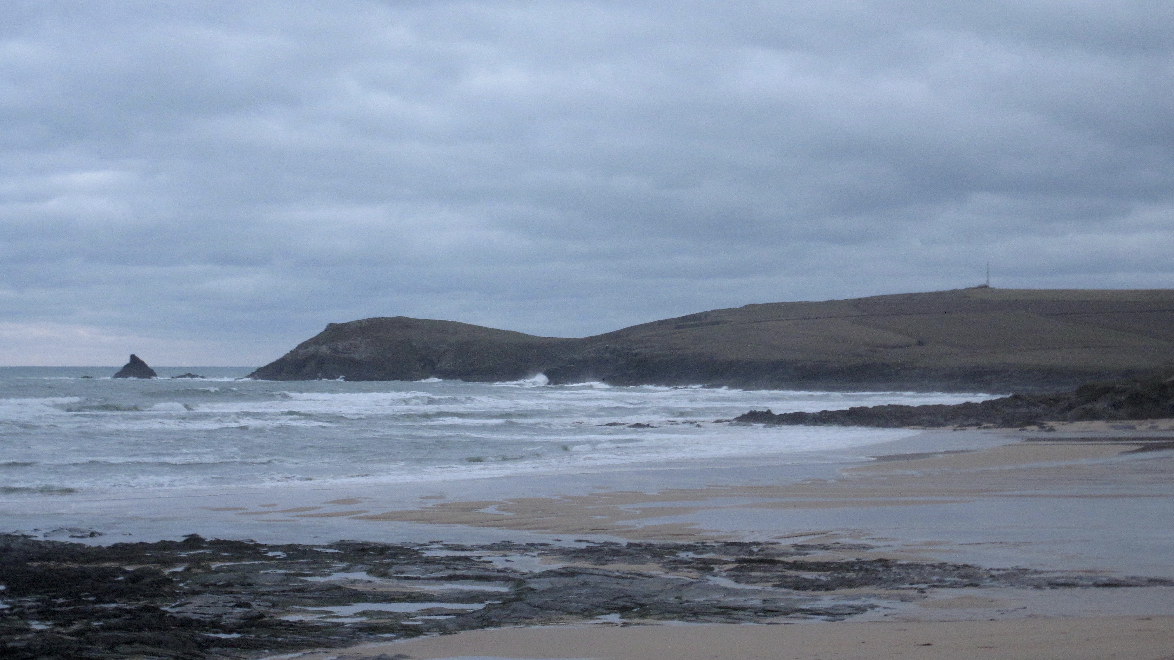
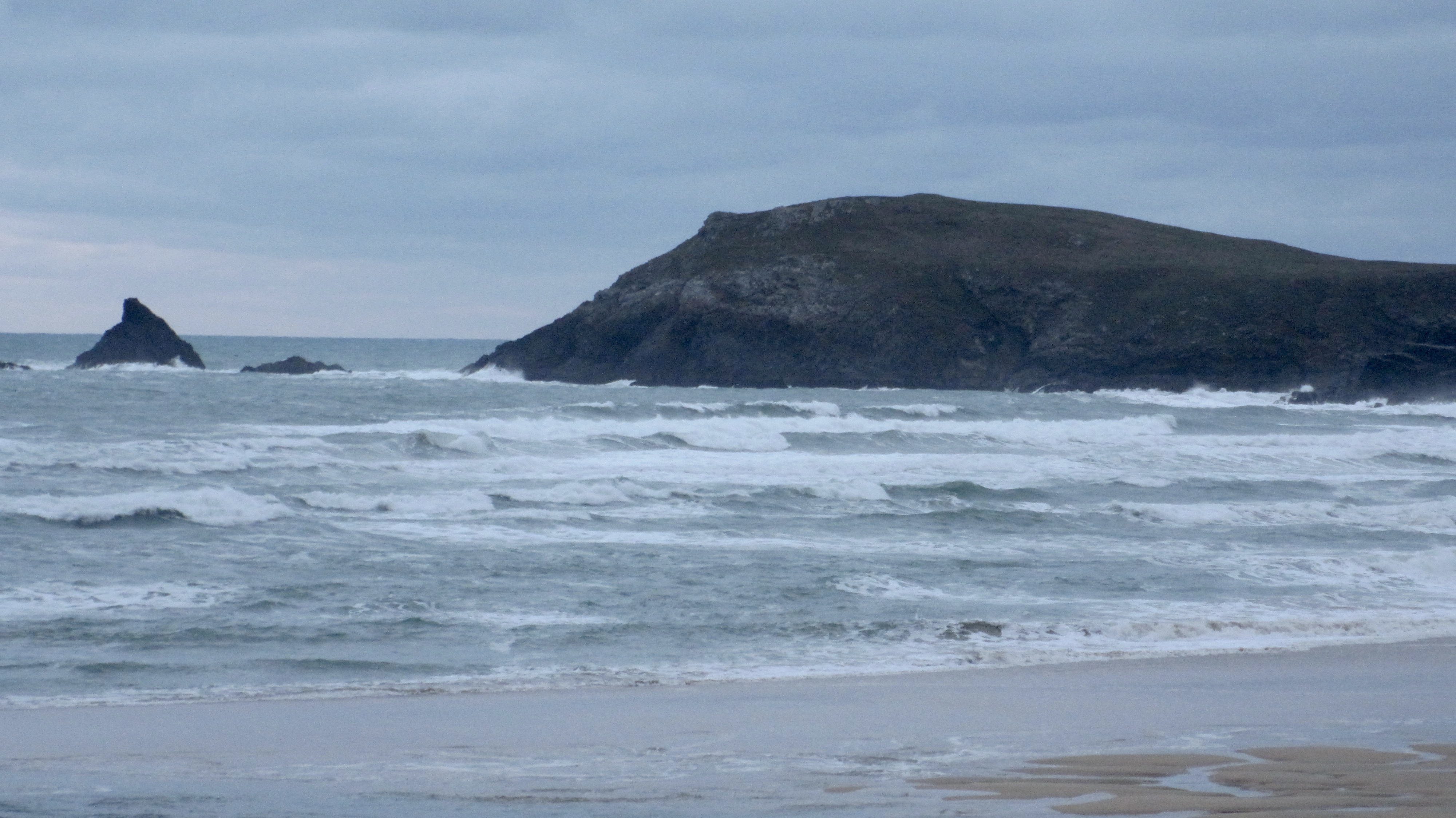
A much gentler morning is spreading some cloud-ribboned light along the coast, the wind having dropped to a steady west north westerly.
The surf has eased back too, there’s a four foot swell washing into the bay, producing a lot of sloppy and bumpy waves. Conditions are still sloppier and choppier than this wind would normally produce but after weeks of onshores, I guess that we will need a brisk offshore to see anything cleaner and that’s unlikely to happen for a good while yet!
In the meanwhile, it is a little less out of control than it has been but it’s not all that either.

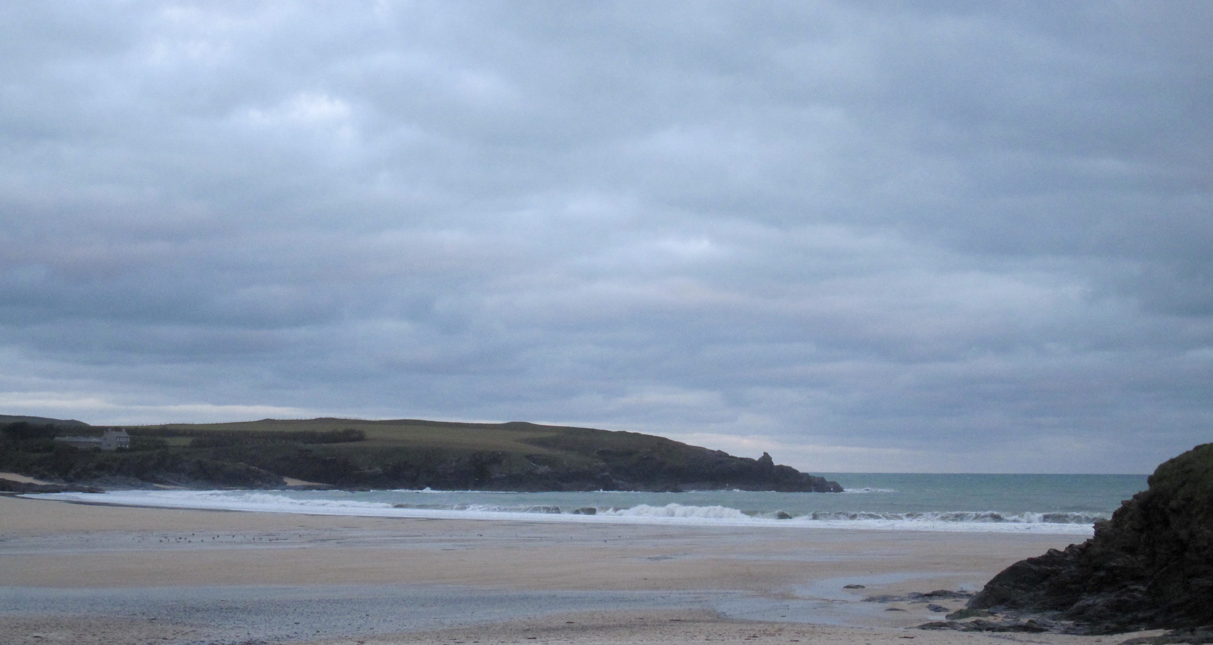
Harlyn (3*): 2 to 3 feet.
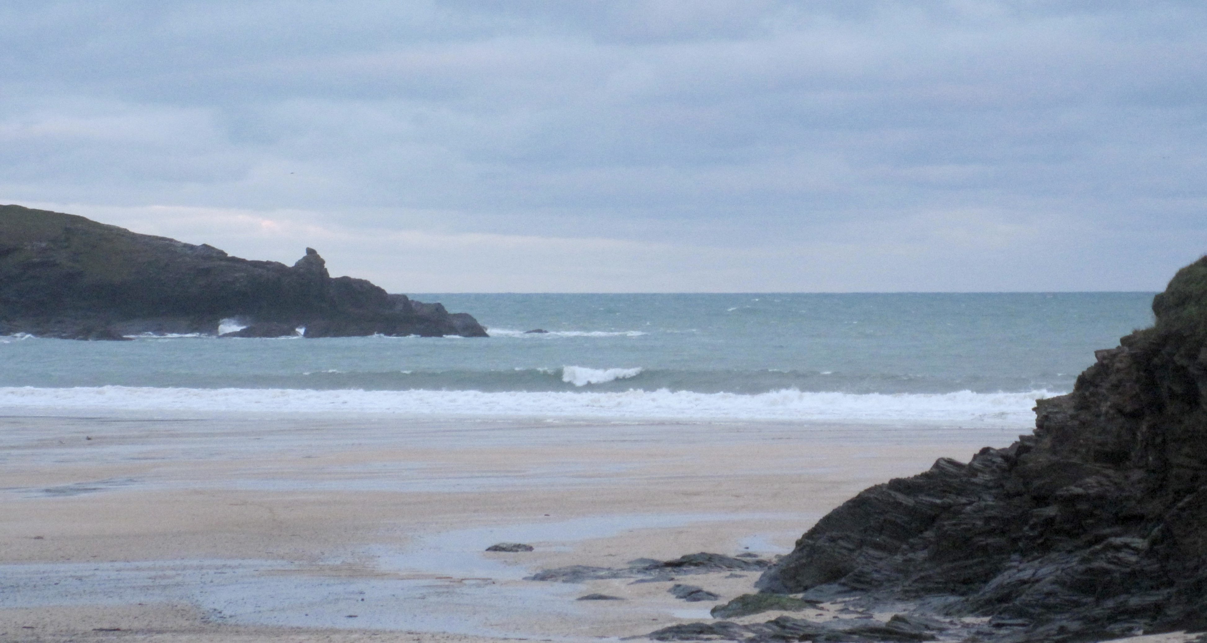
Although the wind is much lighter than it has been, it is coming from the west north west, pretty much as onshore here as it is on the other side of the headland.
There’s a couple of feet of mixed up little surf coming through though, those set waves managing to bounce up into a worthwhile and smooth faced peak every now and then but it isn’t all that.
I don’t know if there’s still any swell getting into the far coast today?
If so that could be the place to aim today!
Today’s Tide Times:
Low Tide: 08:49 (2.5m) High Tide: 14:46 (6.2m)

Surf Forecast for Thursday 7th January 2016
The wind is likely to blow again toady and the surf should build too, to probably twice the size of Wednesday or bigger.
But that wind is likely to be west north westerly again, onshore at all of our breaks making a mess of any surf that is rolling in.
the south coast might be an option if enough swell is swinging around there.
There should be!
Surf Conditions for the Rest of the Week
So far this new year does not seem to have registered much of a change with the wind gods and those hard blowing and sometimes stormy winds are looking set to continue to blow hard and fast for most of the time this first week of 2016, or probably longer.
This week started out with more typical Harlyn conditions, those big, thick and lumpy swells having a bit more of a bump to them caused by the west sou’ westerlies. But we are probably going to see some north westerly wind through Wednesday, backing to the south west on Thursday for the rest of the week and into the weekend.
So a couple of days of calmer winds and slightly easier swells should occupy us through midweek, while the weather continues to change by the minute, although more wet than dry for most of the time before those south westerlies return to drive loads more thick and lumpy surf our way again.
Yep, we are likely to be seeing more strong onshores to end the week and take us into the weekend again with double digit wave heights, a double digit wave period and double digit wind speeds!
Have a great week, wherever you are and whatever you’re doing!