At 6.35 a.m:
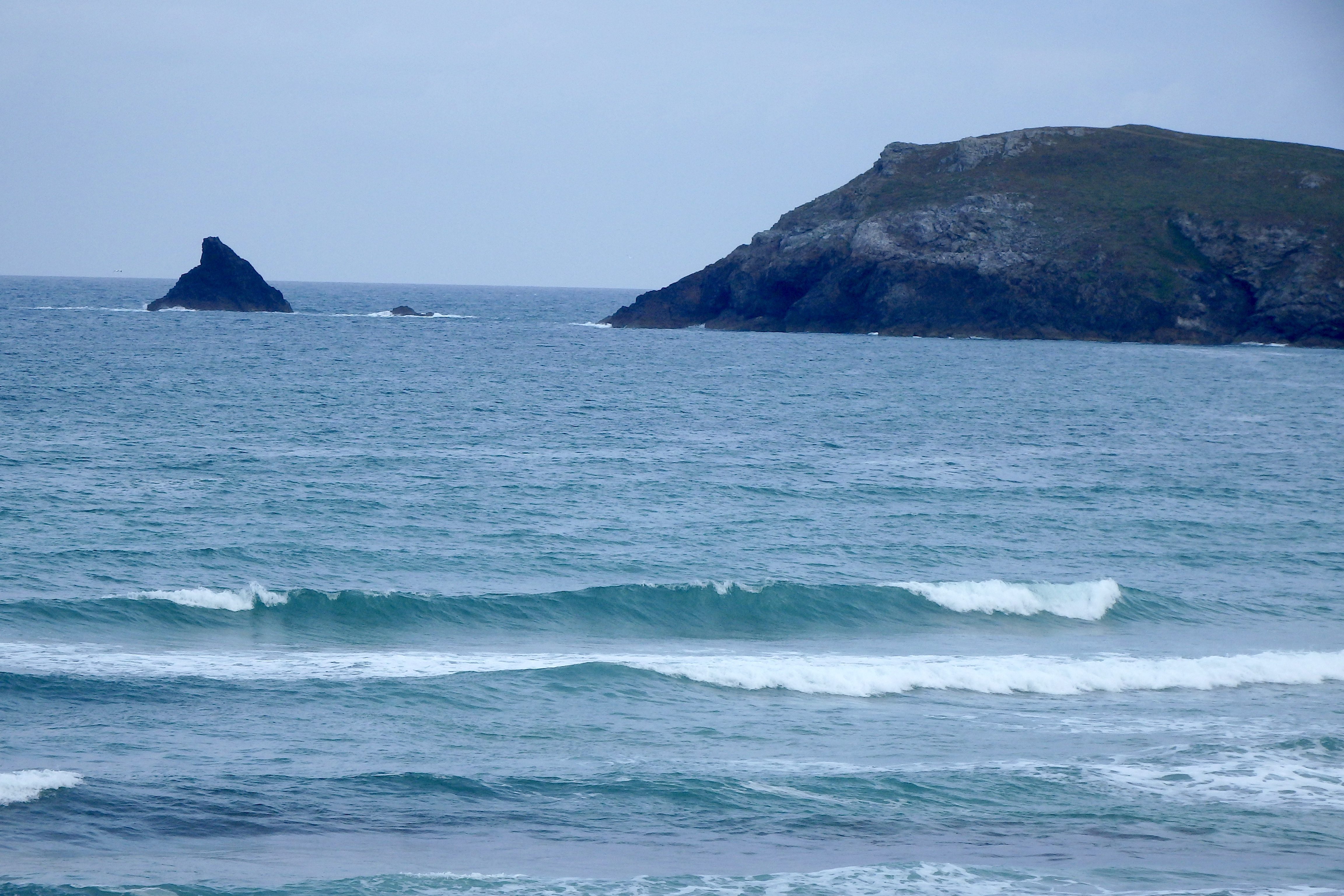
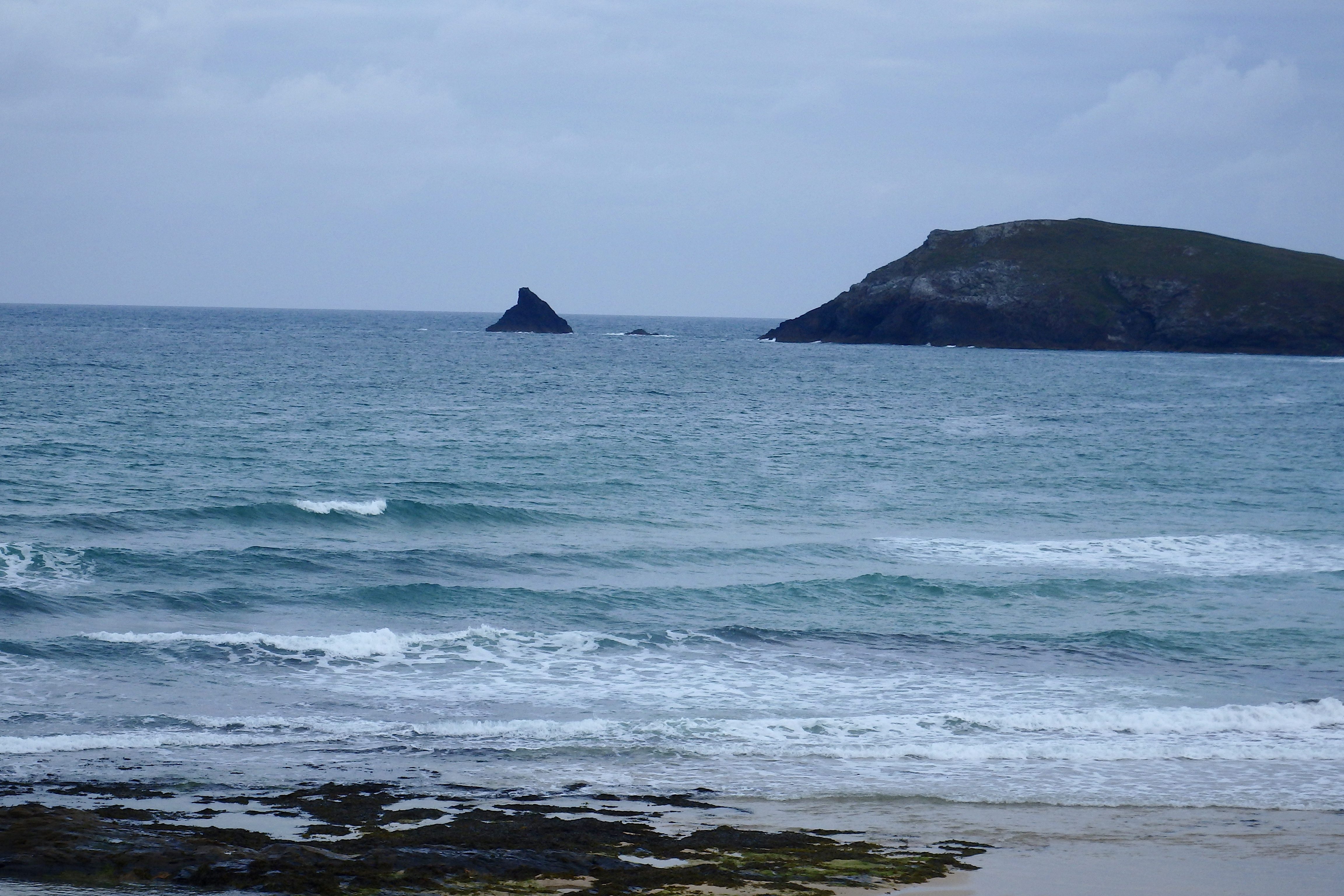
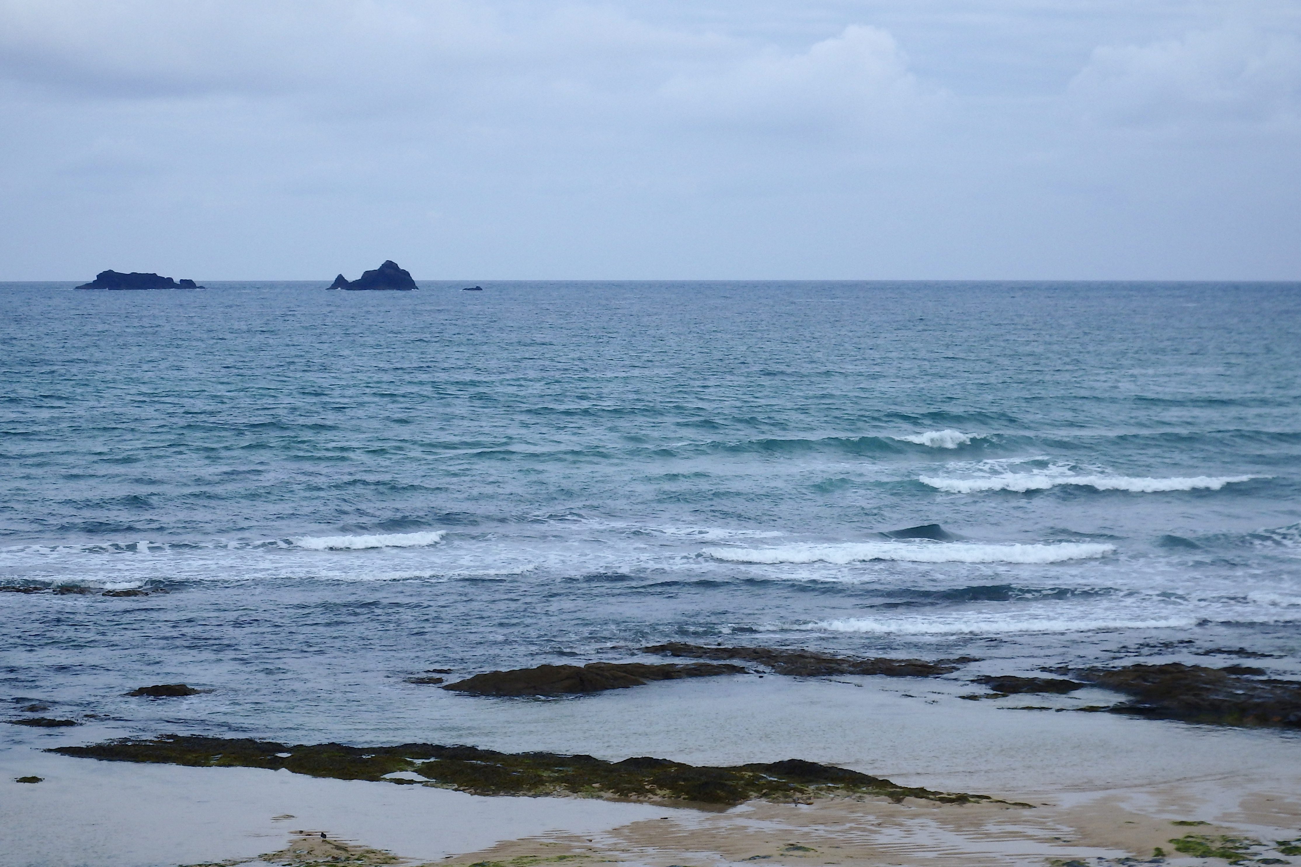
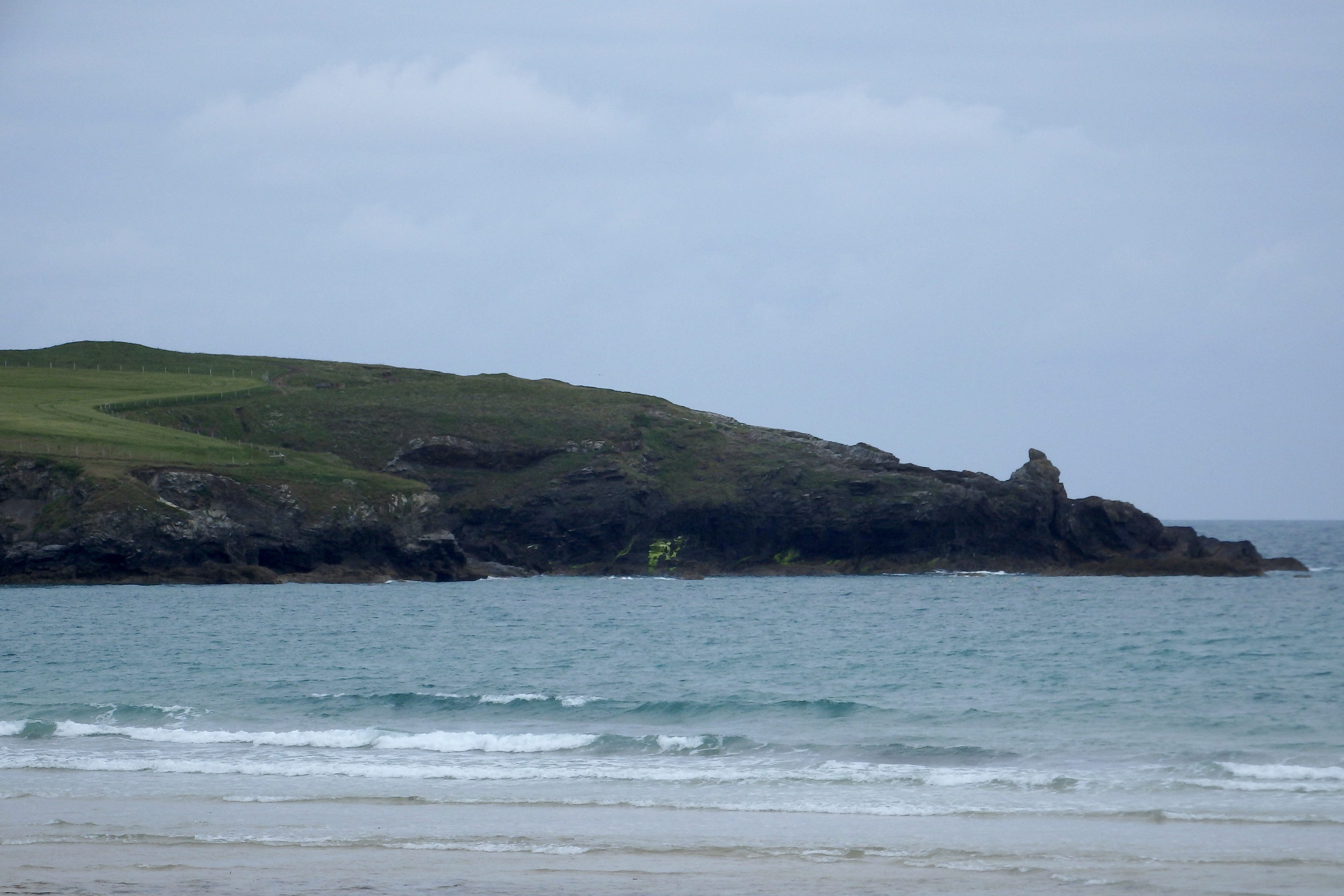
Constantine (2*): 1 to 2 feet.
A brighter one is greeting us this morning, the sky still cloud covered but with layers of brighter and bluer bits to cheer us up.
The surf has dropped from yesterday (and it wasn’t huge then!) so there’s a couple of feet or so of smoother than you would expect little waves cruising to shore. The wind is brisk, rattling down from a more northerly direction (north, north westerly) just allowing those waves to keep some shape, especially on the lefts.
So, yes, it should be worth getting in but keep your expectations in check, it could end up being better than you expected, as long as you’re not expecting anything that good!
Harlyn (0*): 0 to 1 foot.
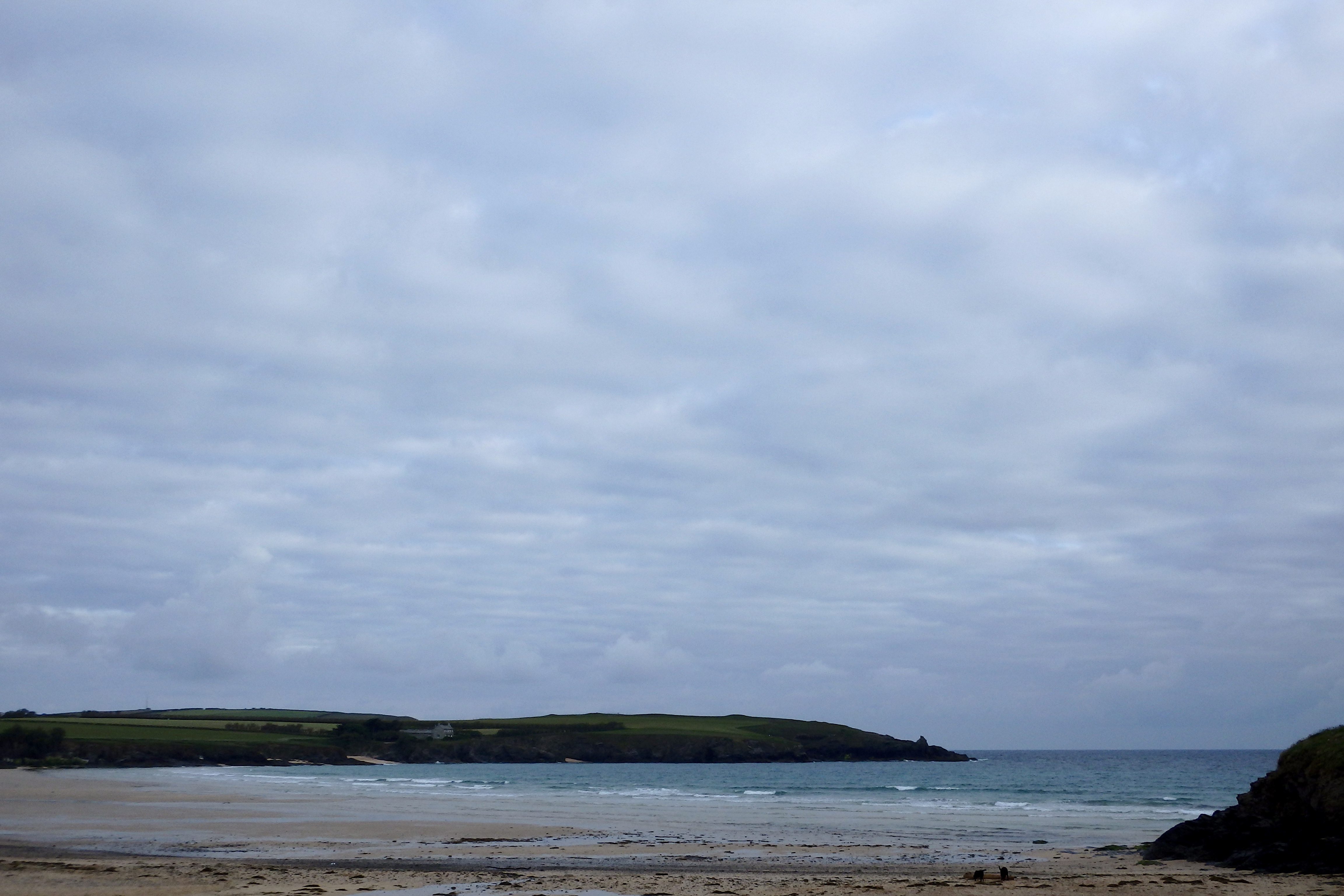
It’s pretty much flat here this morning, flat and choppy with that north nor’ westerly wind breezing straight onshore!
Today’s Tide Times:
Low Tide: 11:17 (1.7m) High Tide: 17:11 (6.6m)

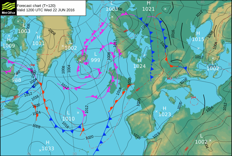
Surf Forecast for Sunday 19th June 2016
A more westerly wind is likely to be blowing in today, a milder (and damper) direction and a little more supportive to the surf too.
But don’t expect too much, there is still likely to be no more than a foot or two of choppy little junk surf washing ashore at the main breaks and it is likely to be too small for the sheltered spots to show.
But if you catch those more swell exposed spots just at the right time, you might just have a better session than expected again!
Surf Conditions for the Weekend
Onshore winds have been plaguing this coast through this week while that chunky swell from Thursday weakened off quite quickly too. And as we enter the weekend the wind stays to the north and the swell remains small.
So we are likely to be enjoying only a couple of feet or so of onshore slopped surf for most of the weekend. But at least the weather should be dry enough and bright enough to cheer everyone up although there is always going to be that chance of a random downpour here and there, especially through Sunday.
Our best bet for better waves are going to be around higher tide, early in the morning or late evening, while the wind is calmer and the tide is helping what swell there is.
And it is always fun to get those sloppy little launch pads to fly from anyway!
Have a great weekend wherever you are and whatever you’re doing!
SJ’s Surf Forecast for the SW
Forecast last updated at 08:40 Saturday 18th June 2016
Hi everyone – these updates are currently made at any time of the day as and when I get the time/chance to update – however from September the intention would be for it to be updated every weekday morning by 10am.
[Don’t forget to look at this forecast the day before you go beach for the latest, as things can often change!]
The Rest Of The Week:
‘Meh! The sun and good surf has gone away, and it’s time now for a wet and windy day/week. Plenty of swell for most of the week, but with mostly onshore conditions for the North, and too small for the south to really work.’
Sunrise and sunset – 05:10 and 21:30
Twilight starts and ends – 04:25 and 22:15
Midday – 13:20
Length of day – 16:20
Offshore Sea Temp approx – 14.5C / 58F
outputmodelrun-170616-0745
Monday 13th:
‘Could be OK if you get on it early! The winds will soon increase in strength and swing onshore though.’
Swell – (i) OK W-WSW going Weak W
Wind – Light-Medium SW going Medium W
Weather – Cloudy/overcast but mostly dry
North Coast – 4-5ft (Chest-Shoulderhigh) going 5-6ft (Shoulder-Headhigh)
South Coast – 1-2ft (Kneehigh)
Tides – 06:32 Low, 12:31 High, 18:57 Low (Neap tides)
Tuesday 14th:
‘Winds are too strong and onshore today – creating messy onshore lumpy surf with no underlying quality to the swell anyway.’
Swell – (i) Weak W
Wind – Medium W
Weather – Overcast with light rain showers
North Coast – 6ft (Headhigh) going 4-5ft (Chest-Shoulderhigh)
South Coast – 1-3ft (Knee-Waisthigh) going 1-2ft (Kneehigh)
Tides – 07:40 Low, 13:38 High, 20:04 Low
Wednesday 15th:
‘Onshore to the North, but a longer period swell will push through, making for an onshore for ‘chunky’ wave later on.’
Swell – (i) OK going Strong W
Wind – Light-Medium W going NW
Weather – Overcast with heavy rain showers
North Coast – 4-5ft (Chest-Shoulderhigh)
South Coast – 1-2ft (Kneehigh)
Tides – 08:42 Low, 14:40 High, 21:05 Low
Thursday 16th:
‘Onshore for the North, however the south may have a small but clean wave in the morning if you know where to look there!’
Swell – (i) OK W
Wind – Light-Medium going Medium N-NW
Weather – Mixture of cloud, sunshine,and rain
North Coast – 4-6ft (Chest-Headhigh) going 3-4ft (Waist-Chesthigh)
South Coast – 1-3ft (Knee-Waisthigh) going 1ft (Flat)
Tides – 09:35 Low, 15:31 High, 21:55 Low
Friday 17th:
‘A return to smallness – onshore slop on the North, and the south will be almost flat.’
Swell – (i) Weak W-WNW
Wind – Medium N-NW
Weather – Cloudy with some rain showers and sunny spells
North Coast – 2-3ft (Knee-Waisthigh) going 1-3ft (Knee-Waisthigh)
South Coast – 1ft (Flat)
Tides – 10:20 Low, 16:16 High
Weekend Summary:
Gold Coast OceanFest 2016 @ Croyde, North Devon
GC16-TwCover060516
‘Not much about surf wise this weekend! Enough for beginners/learners/surf schools though.’
Saturday 18th:
‘Small onshore messy slop.’
Swell – (i) Weak W-WNW (ii) Faint going OK W
Wind – Light-Medium N-NW going NW
Weather – Cloudy but with plenty of sunny spells
North Coast – 1-2ft (Kneehigh)
South Coast – 0ft (Flat)
Tides – 04:34 High, 11:00 Low, 16:56 High
Sunday 19th (Fathers Day):
‘Small with cross-onshores.’
Swell – (i) OK W (ii) Faint going Weak W-WSW
Wind – Light-Medium going Medium SW
Weather – Overcast with a light rain by evening
North Coast – 1-3ft (Knee-Waisthigh) going 3ft (Waisthigh)
South Coast – 1ft (Flat)
Tides – 05:13 High, 11:37 Low, 17:33 High
Early Next Week:
‘There’ll be swell all week, so with weather systems set to change midweek with a weak high pressure trying to push in, we could see the winds go light and maybe even offshore for Wednesday onwards. Further on towards next weekend the USA and European forecasts differ considerably so this usually means the forecast is ‘changeable’ rather than believing in one or the other.’
The scale for measuring conditions:
0-1ft – Unridable/Flat
1-2ft – Kneehigh
3ft – Waisthigh
4-5ft – Chest/Shoulderhigh
6ft – Headhigh
6-8ft = 1-1.5x Overhead
8-10ft = 1.5x Overhead
10-12ft = 2x Overhead
Please Note!
Wave height predictions are based on the larger breaks on both coasts such as Fistral and Croyde for the North, and Praa Sands and Bantham for the South.
Wave height is measured from the front of the wave, and 6ft would usually mean a ‘head-high’ wave.
Try and use some ‘local’ knowledge about what the wave sizes will be elsewhere. For example the Newquay Bay area is generally 1/3 to 3/4 the size of Fistral, increasing the further up the bay you go from Towan to Lusty Glaze, and that it will be clean on a W wind at ‘harbour left’ at Towan at mid-tide’ for example.
Tide times are based on Newquay.
Stay Stoked!
SJ