At 7.15 a.m:
Constantine (1*): 3 to 4 feet
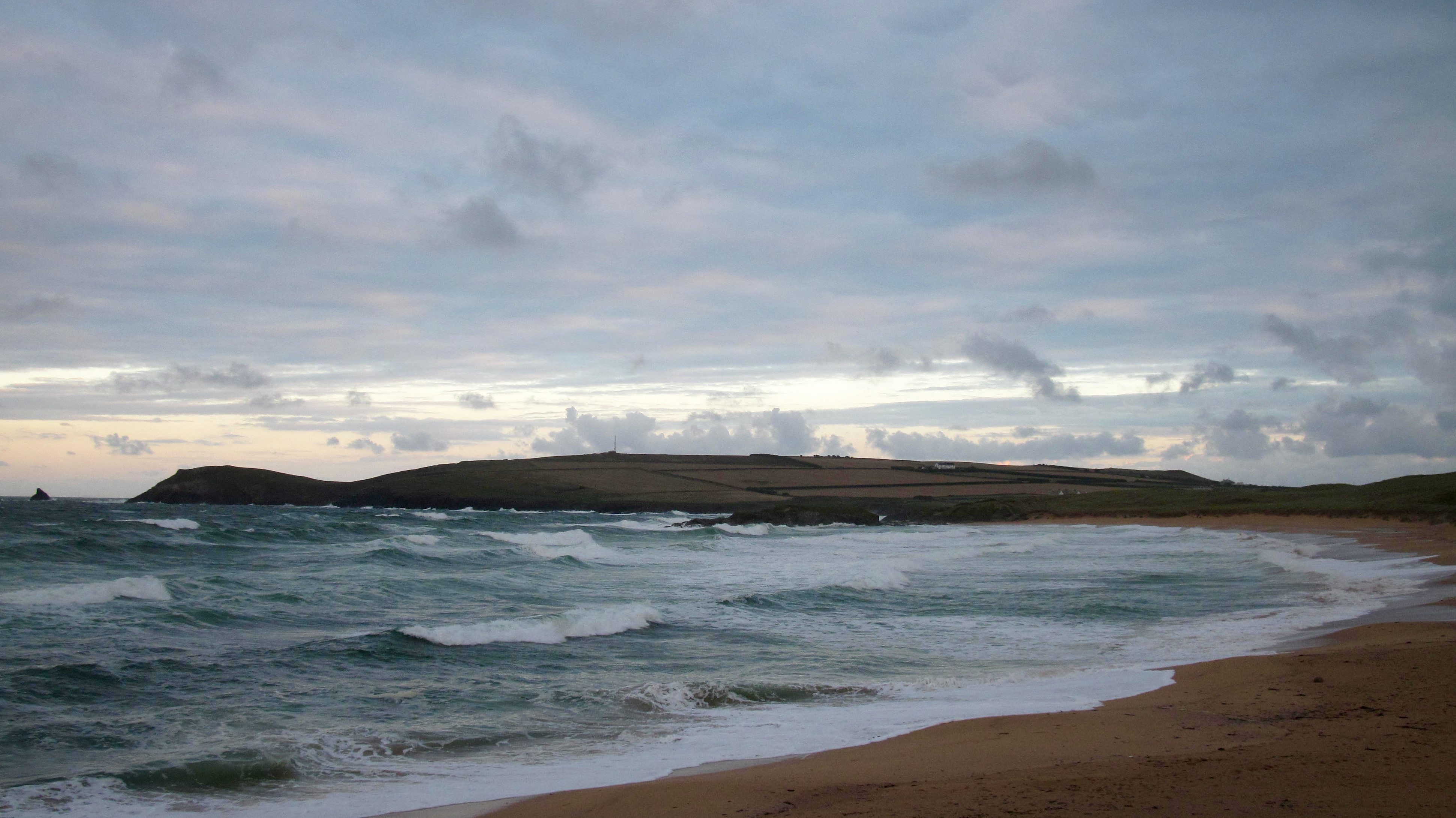
The westerly wind has dropped in strength and the rain has eased but it is still a bit breezy and dampness still surrounds us.
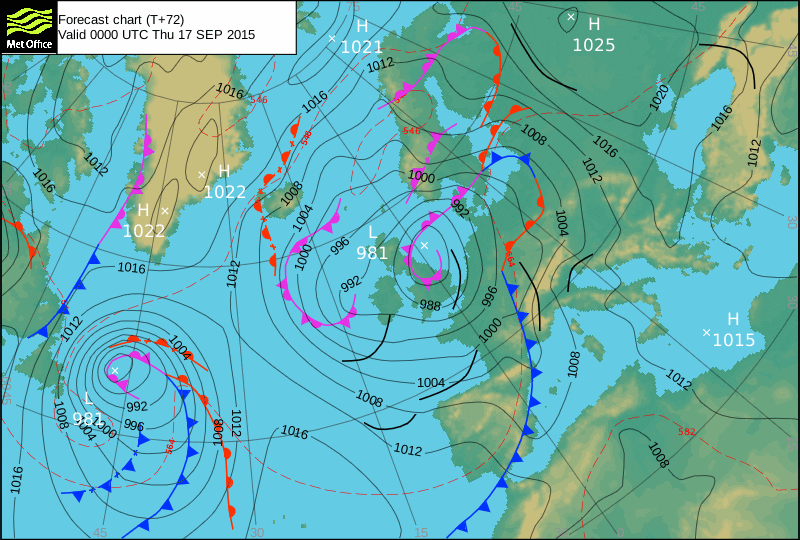
But you can feel that low pressure system gradually leaving us and so the wind should settle to a breeze as the day goes on while there are big, bright gaps in amongst those heavy cloudbanks.
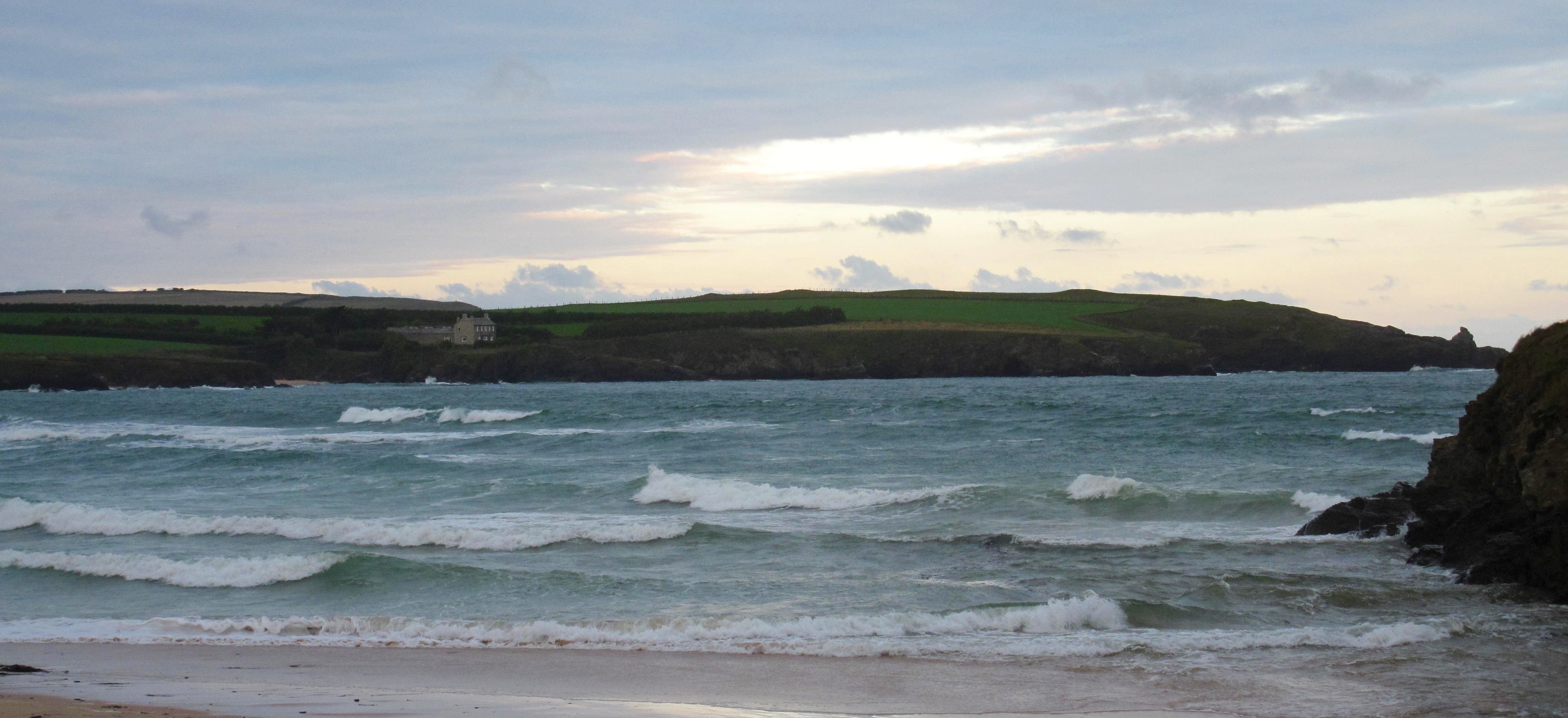
The surf is junked out again, a little smaller than last night, a little bigger than yesterday morning. But it doesn’t look enticing. There’s just three to four feet of messed up slop splashing ashore at just about bang on full tide.
The wind is forecast to ease back to a steady south westerly, which should be kind to Harlyn, if enough swell is getting around there. So let’s have a little look-see!
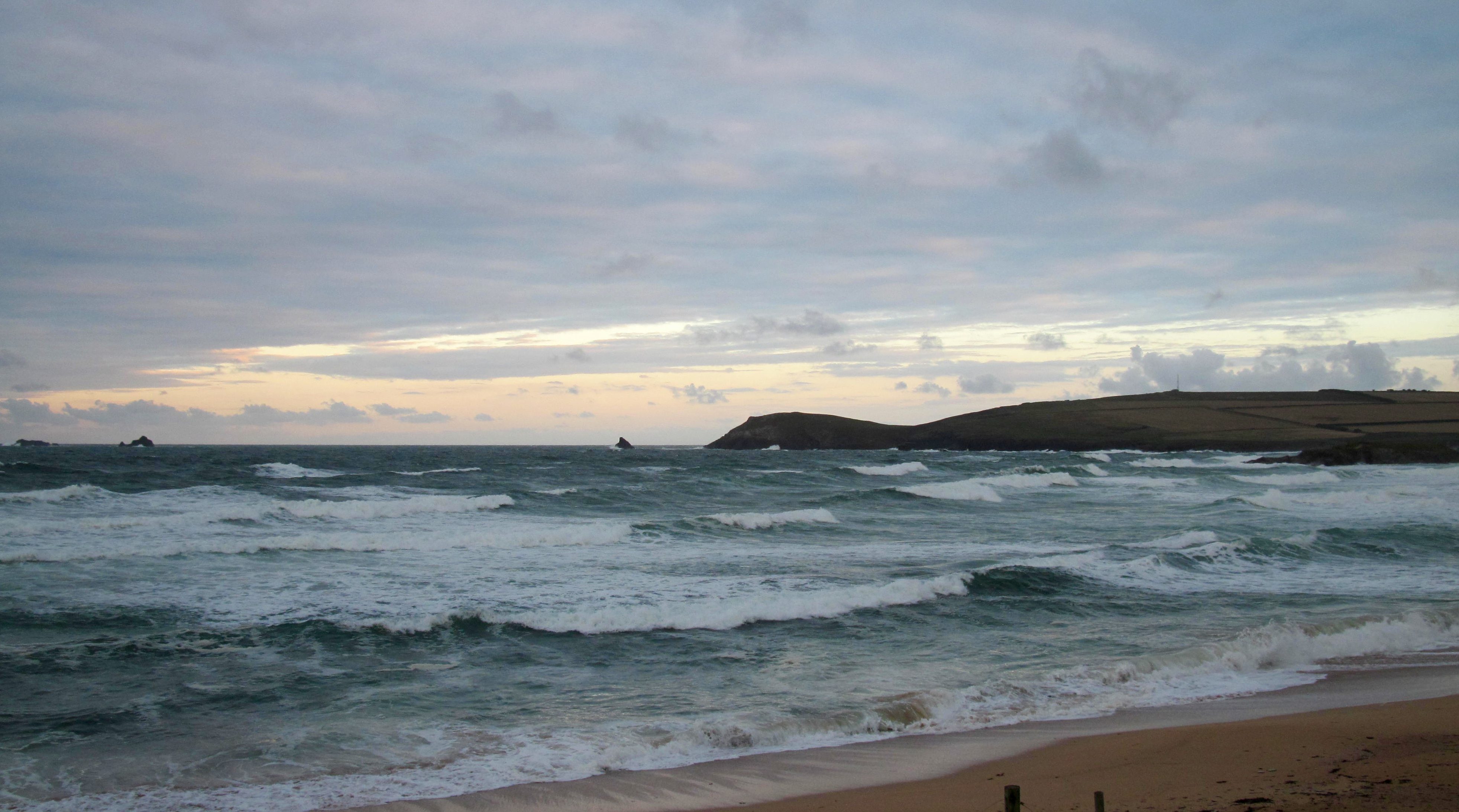
Harlyn (2*): 2 feet
There’s a couple of feet of lazy looking and lumpy surf washing in at high tide this morning, the wind a little too westerly to help to shape it in any way.
The forecast is for the wind to ease to south westerly as the day goes on and that will really help the shape a lot. But the swell is likely to drop with the tide too. So we may have to wait for this afternoon’s incoming tide to push up only a couple of feet or so but a couple of feet of clean and sharp surf hopefully!
Today’s Tide Times:
Low Tide: 13:41 (1.1m) High Tide: 19:34 (7.2m)

Surf Forecast for Wednesday16th September 2015
The wind looks as though it’s going to be shuffling in from the north east today, a cold direction but offshore at our preferred surf breaks.
But the swell is likely to have dropped a lot too and so we will be lucky to see much more than a foot or two of surf and then only at those spots that pick up the most swell. But at least it should be clean and appealing to surf though!
Watch out for those chilly showers too!
Surf Conditions for the Start of the Week
A stormy start to the week is going to set a bit of a pattern for the coming wee while I think. There are a few little lows out in the Atlantic lining up to blow themselves across us over the next week or two and so there should be plenty of surf rolling through but plenty of wind too.
So Monday’s gales should abate gradually as we go into Tuesday, that thumping swell still pushing through but weakening all the time, the wind shifting to the south west and allowing Harlyn to explode with action. Bigger in the morning but quickly dropping through the day, the surf should be pretty good if you catch it at the right spot, at the right time.
By Wednesday that wind is likely to have shifted to the north, hopefully north easterly, cooling things down a lot but at least helping to shape the small, small surf into something more desirable.
And then, as we go into the back half of the week the pattern is likely to repeat.
Strong onshores through Thursday pushing up the swell and lighting up Harlyn again by the afternoon, the wind again sliding to the north and junking things out for Thursday.
So, plenty of surf and loads of weather all week!
Have a great week, wherever you are and whatever you’re doing!