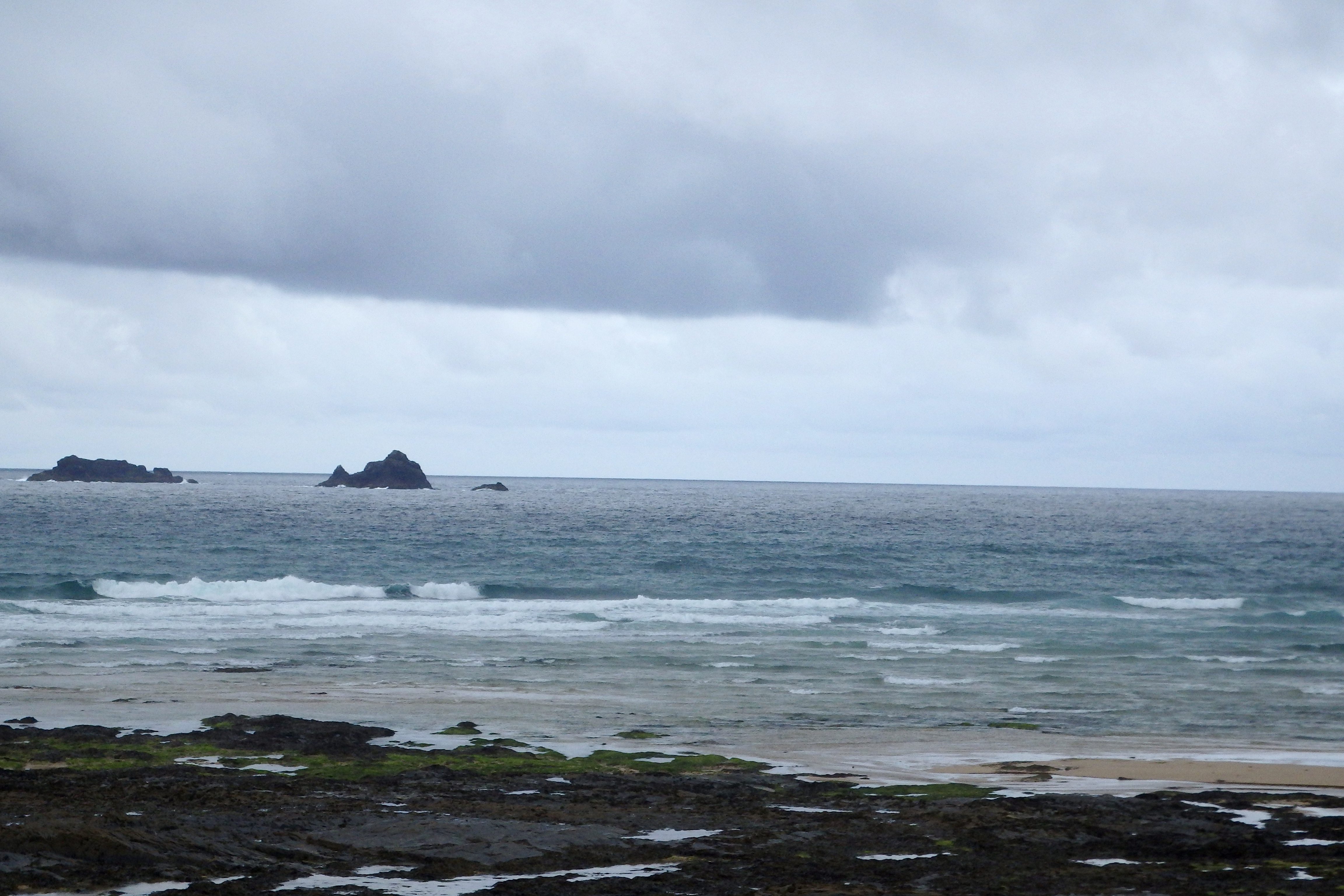
At 6.10 a.m:
Constantine (1*): 2 to 3 feet.
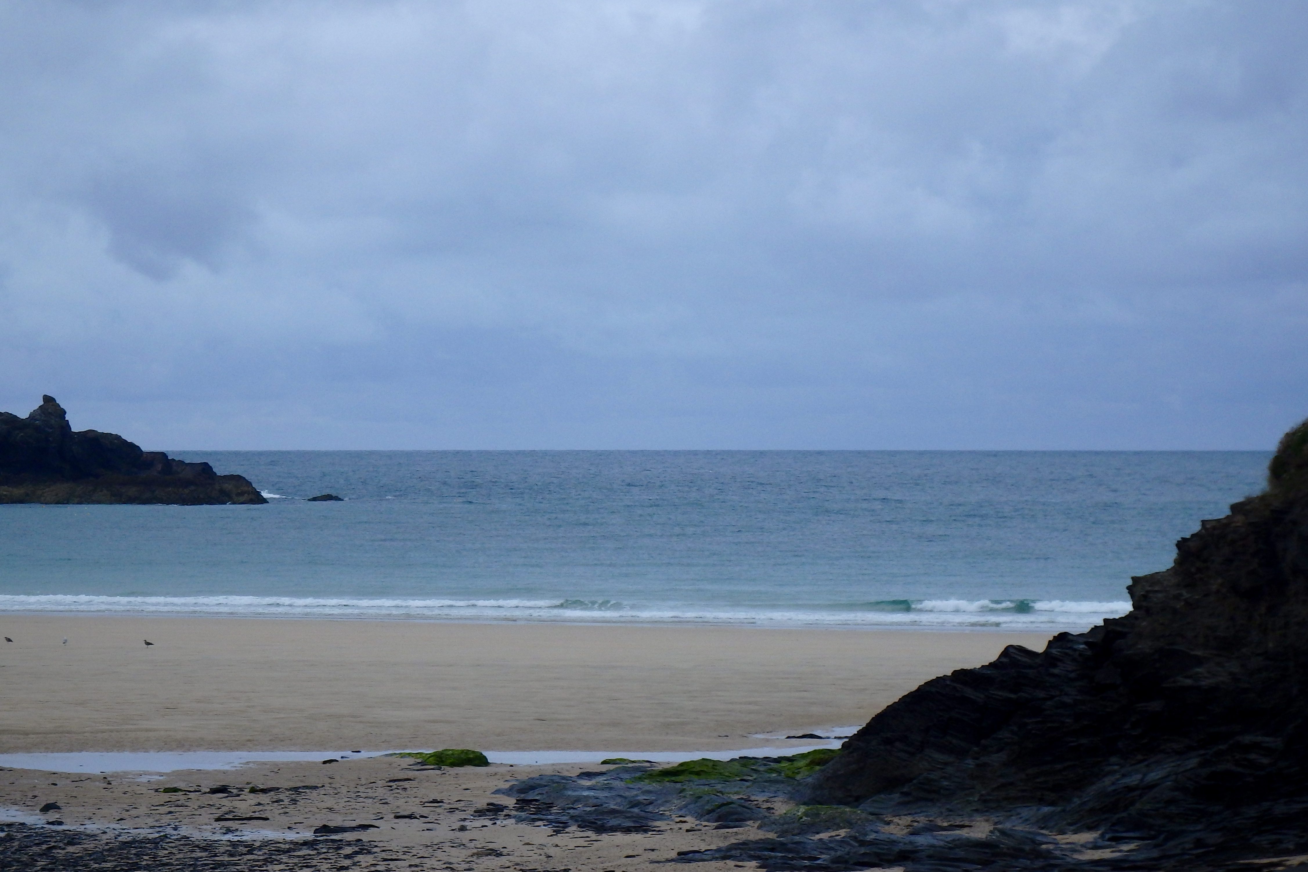
Well the temperature this morning is almost half of that of this time last week and conditions are matching exactly that.
It’s a wet ’n breezy, murky and chilly start to the day, a dull and dreary canopy of damp clouds smothering the whole parish and beyond.
And so the surf is a junked out two to three feet of wind bounced and lumpy, straggly little waves. The wind is straight onshore, a brisk west sou’ wester filled with chilly dampness, blowing just hard enough to make a mess of the surf zone.
Still, at least it’s not flat.
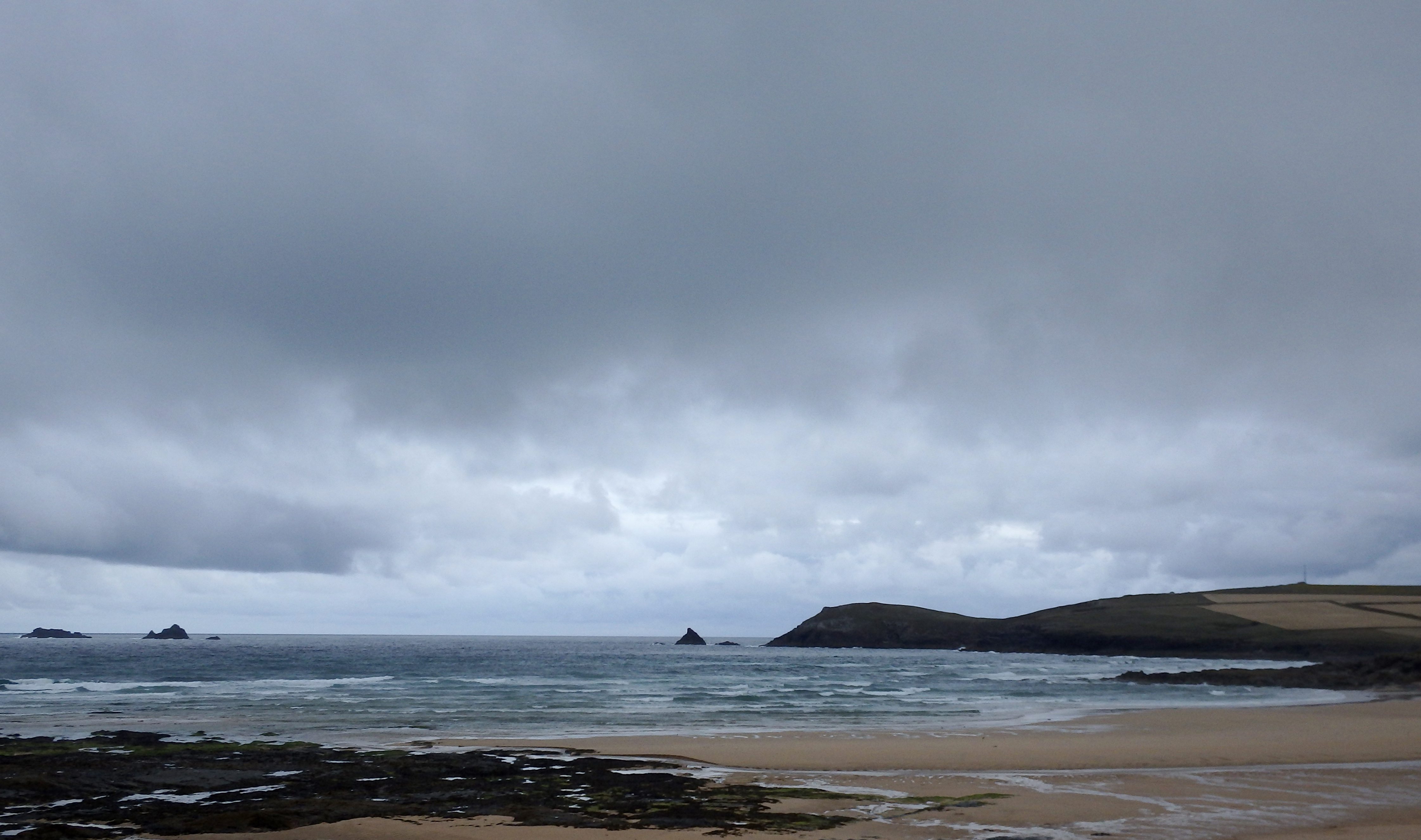
Harlyn (1*): 0 to 1 foot.
It is pretty much flat around here this morning, the conditions way cleaner and smoother than the other side of the headland but really very small.
Almost a foot of smooth and glassy, tiny little wavelets are splashing ashore just an hour after low tide, offering some hope that it might just build, if only a little, as the tide pushes in.
At least conditions are smooth and pretty around here compared to the other side’s sloppy choppiness.
It could just be that fun-on-a-longboard kind of surf here in a couple of hours, we hope!
Today’s Tide Times:
Low Tide: 17:01 (1.7m) High Tide: 10:40 (6.6m)

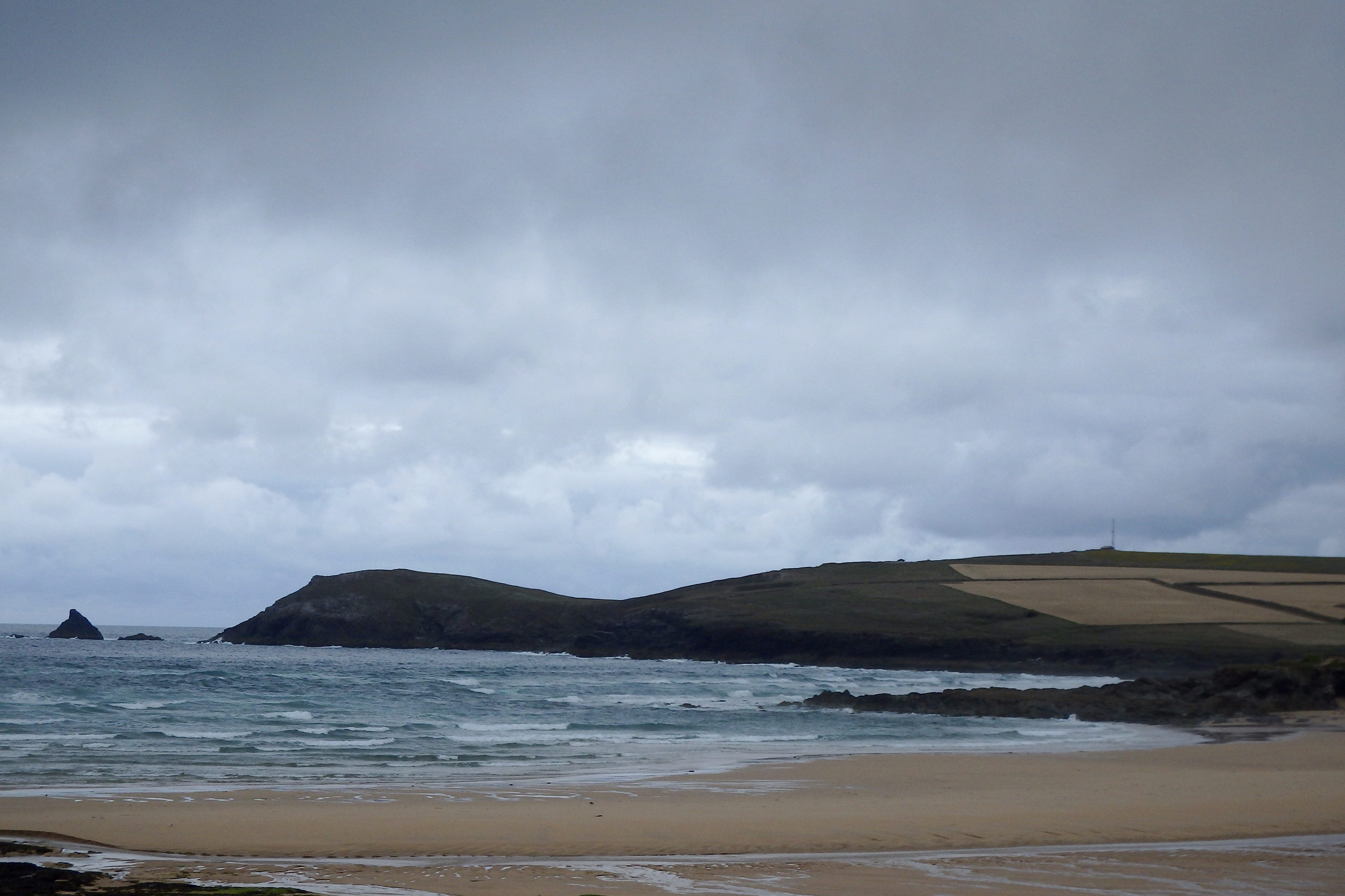
Surf Forecast for Wednesday 27th July 2016
And more of the same!
Two to three feet of choppy and sloppy, weak windsurf is about as much as we can hope for today, the wind steadily gusting in from the west nor’ west and so all chilly and damp too.

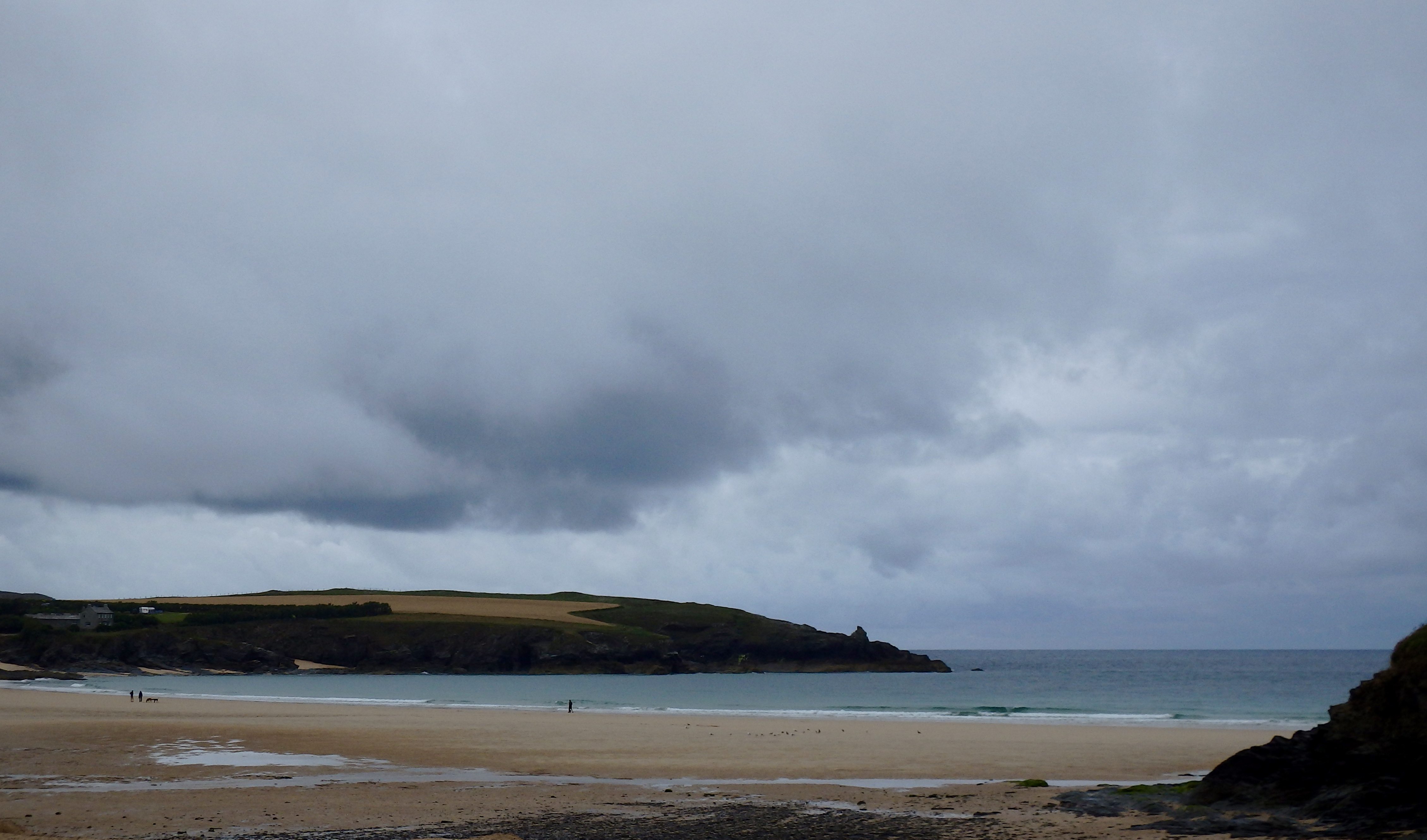
Surf Conditions for the Start of the Week
Steady onshores are going to breeze our way through this week, that same rolling three foot swell being delivered into our bays and coves in a tired and confused lump of surf.
Our main surf breaks on the more western facing beaches are likely to be showing three feet of sloppy and bumpy surf for most of the time and that’s where the action will be for most of this week, the surf being too weak to get into our more sheltered spots.
A week of mixed weather conditions awaits too but it should be mostly pleasant enough to enjoy some fun times at the beach but don’t forget to take your waterproofs as well!
Have a great week, wherever you are and whatever you’re doing!
SJ’s Surf Forecast for the SW
Forecast last updated at 09:00 Tuesday 26th July 2016
Hi everyone – these updates are currently made at any time of the day as and when I get the time/chance to update – however from September the intention would be for it to be updated every weekday morning by 10am.
[Don’t forget to look at this forecast the day before you go beach for the latest, as things can often change!]
The Rest Of The Week:
‘A fairly consistent / groundhog weak with similar conditions most days with a small swell and onshore winds. Not great in terms of quality, but hey it’s Summer – at least it’s not flat. Enough to get wet behind the ears along with a bit of paddling practise, and have a laugh in the sloppy conditions,’
Sunrise and sunset – 05:45 and 21:10
Twilight starts and ends – 05:05 and 21:50
Midday – 13:25
Length of day – 15:25
Offshore Sea Temp approx – 16.5C / 62F
outputmodelrun-260716-0900
Monday 25th:
‘Small onshore mushburgers.’
Swell – (i) Weak W-WNW
Wind – Light-Medium W-WSW going WNW
Weather – Bright and sunny day.
North Coast – 3ft (Waisthigh)
South Coast – 1ft
Tides – 09:38 High, 16:00 Low
Tuesday 26th:
‘Small onshore mushburgers.’
Swell – (i) Weak W-WNW
Wind – Light-Medium WSW
Weather – Overcast and cloudy, with a chance towards evening.
North Coast – 3ft (Waisthigh)
South Coast – 1ft
Tides – 10:28 High, 16:52 Low
Wednesday 27th:
‘Small onshore slop/mushburgers with an increase in wind strength.’
Swell – (i) Weak W-WNW
Wind – Medium W going Light-Medium WNW
Weather – Overcast and rainy start, drying out later on in the day
North Coast – 3ft (Waisthigh)
South Coast – 1ft
Tides – 05:25 Low, 11:27 High, 17:52 Low
Thursday 28th:
‘Be careful out there on Thursday – an increase in wind could cause the slop to get a bit bigger throughout the day.’
Swell – (i) Weak W-WNW
Wind – Medium WSW
Weather – Cloudy/overcast with chance of rain later on.
North Coast – 3ft (Waisthigh) going 5-6ft (Shoulder-Headhigh)
South Coast – 1ft going 1-2ft (Kneehigh)
Tides – 06:34 Low, 12:36 High, 19:13 Low
Friday 29th:
‘The opposite of Thursday with ‘surf’ size decreasing. Still onshore sloppy much though.’
Swell – (i) Weak W-WNW
Wind – Light-Medium W-NW going Light NW
Weather – Overcast/rainy start, but brightening up later on with some sunny spells.
North Coast – 5ft (Shoulderhigh) going 3ft (Waisthigh)
South Coast – 1-2ft (Kneehigh) going 1ft
Tides – 07:52 Low, 13:52 High, 20:32 Low
Weekend Summary:
‘Enough swell for surf schools and learners with small onshore conditions.’
Saturday 30th:
‘Small onshore mushburgers.’
Swell – (i) Weak W-WNW
Wind – Changable (Possibly Light-Medium WNW)
Weather – Bright and sunny!
North Coast – 3ft (Waisthigh) going 2-3ft (Knee-Waisthigh)
South Coast – 1ft
Tides – 09:05 Low, 15:04 High, 21:43 Low
Sunday 31st:
‘Getting smaller! Still a small onshore sloppy wave – get the stand up paddleboards or longboards out!’
Swell – (i) Weak W-WNW
Wind – Light-Medium WNW
Weather – Bright and sunny!
North Coast – 2-3ft (Knee-Waisthigh) going 1-3ft (Knee-Waisthigh)
South Coast – 1ft going 0-1ft
Tides – 10:09 Low, 16:08 High (Neap tides)
Early Next Week:
‘Too early to tell yet.’
The scale for measuring conditions:
0-1ft – Unridable/Flat
1-2ft – Kneehigh
3ft – Waisthigh
4-5ft – Chest/Shoulderhigh
6ft – Headhigh
6-8ft = 1-1.5x Overhead
8-10ft = 1.5x Overhead
10-12ft = 2x Overhead
Please Note!
Wave height predictions are based on the larger breaks on both coasts such as Fistral and Croyde for the North, and Praa Sands and Bantham for the South.
Wave height is measured from the front of the wave, and 6ft would usually mean a ‘head-high’ wave.
Try and use some ‘local’ knowledge about what the wave sizes will be elsewhere. For example the Newquay Bay area is generally 1/3 to 3/4 the size of Fistral, increasing the further up the bay you go from Towan to Lusty Glaze, and that it will be clean on a W wind at ‘harbour left’ at Towan at mid-tide’ for example.
Tide times are based on Newquay.
Stay Stoked!
SJ