At 6.35 a.m:
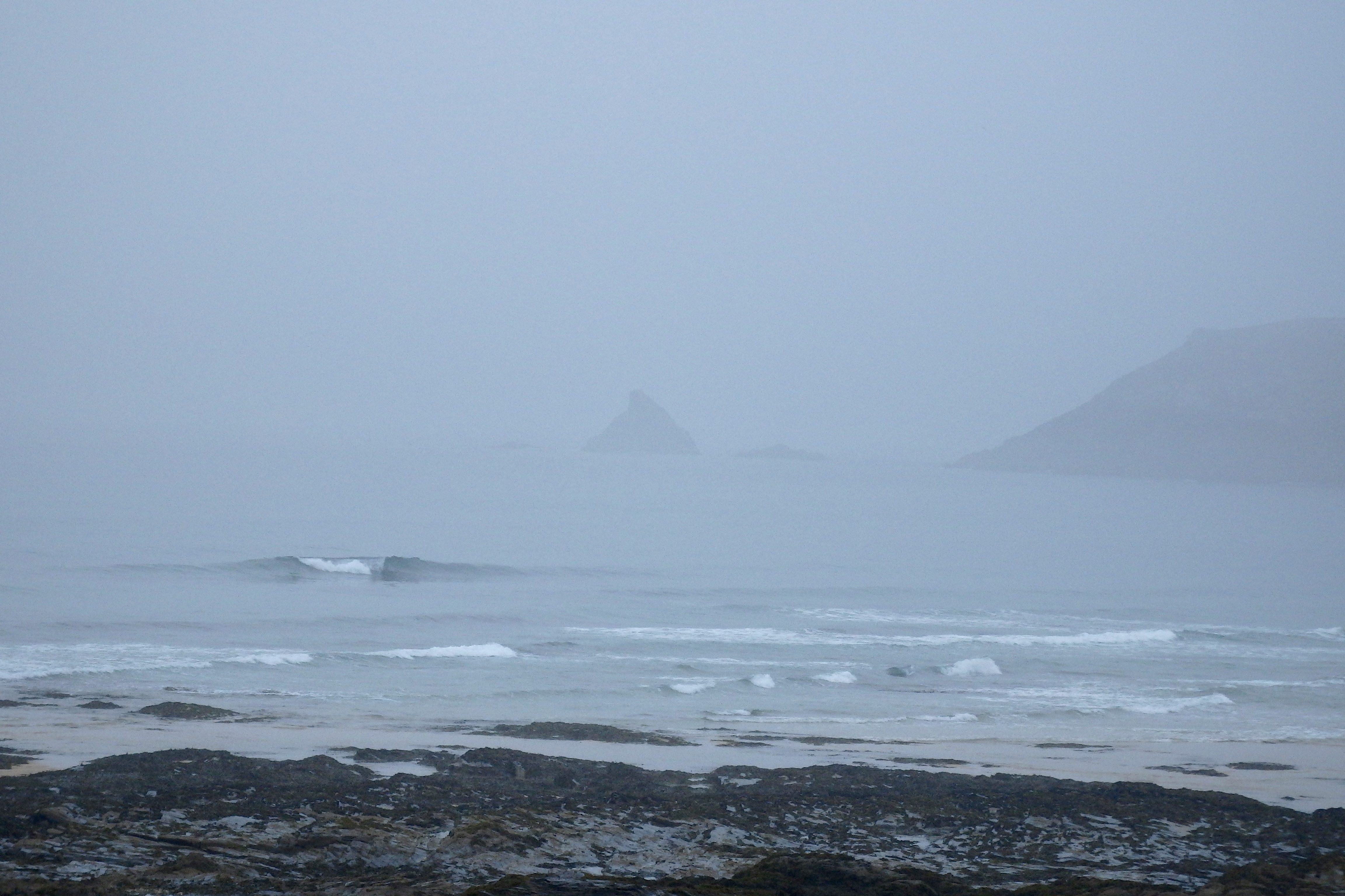
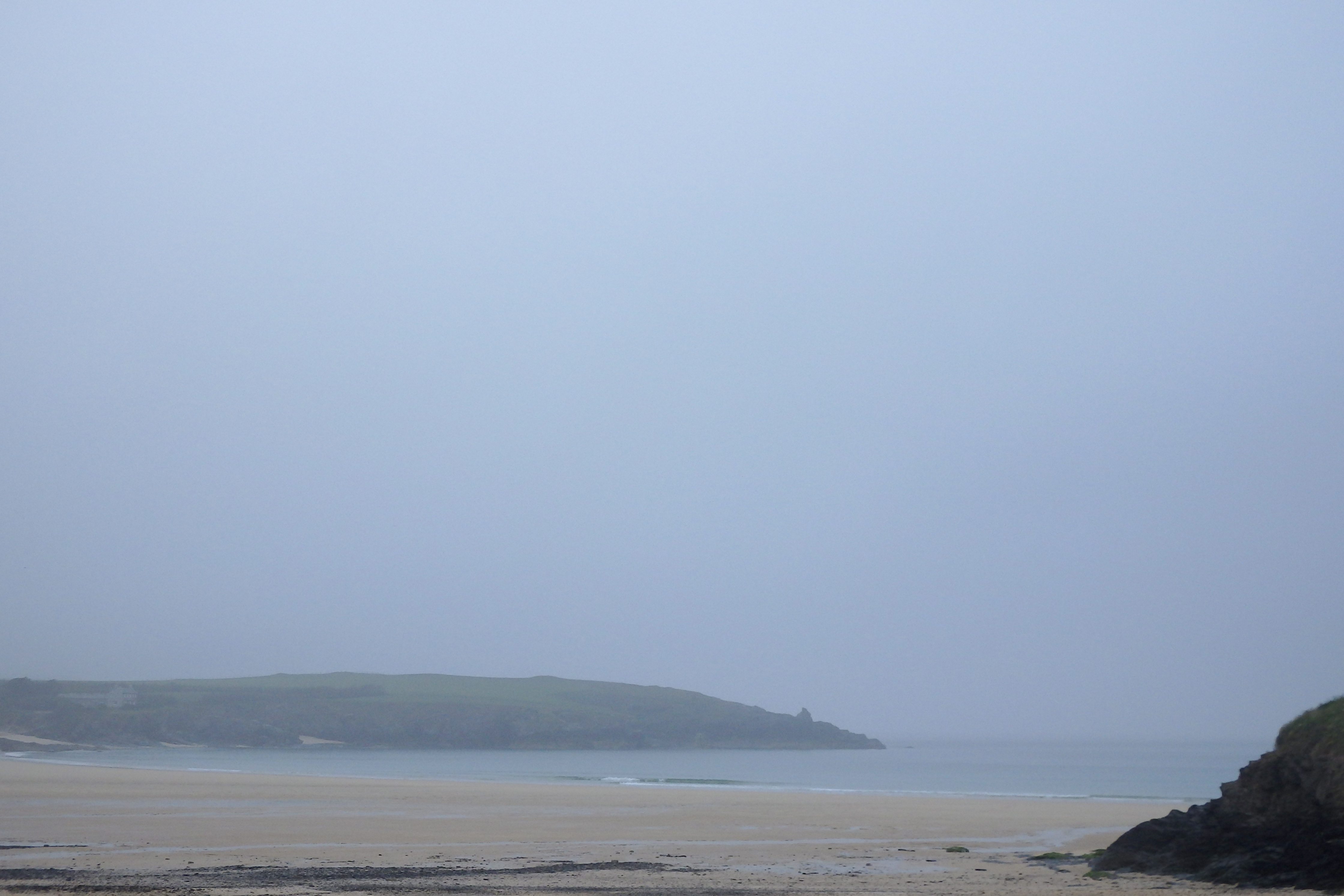
Constantine (1*): 1 to 2 feet.
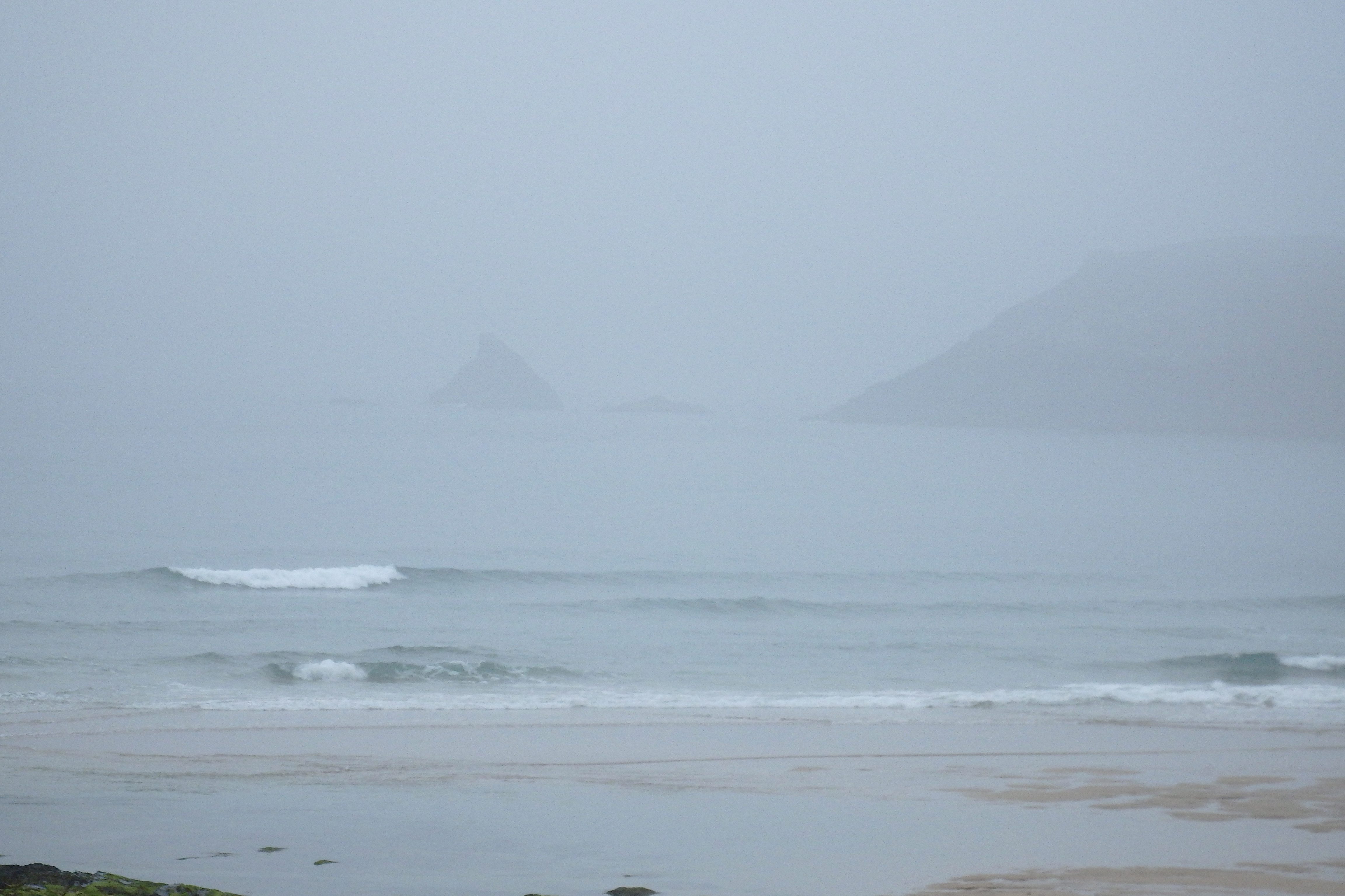
The lightest veil of mizzle is dampening this morning, the view blocked by the murk of a misty, misty morning.
It’s still and it’s mild and it’s damp and it’s muggy with the muffled sound of small surf gurgling through the fug of an early summer morning.
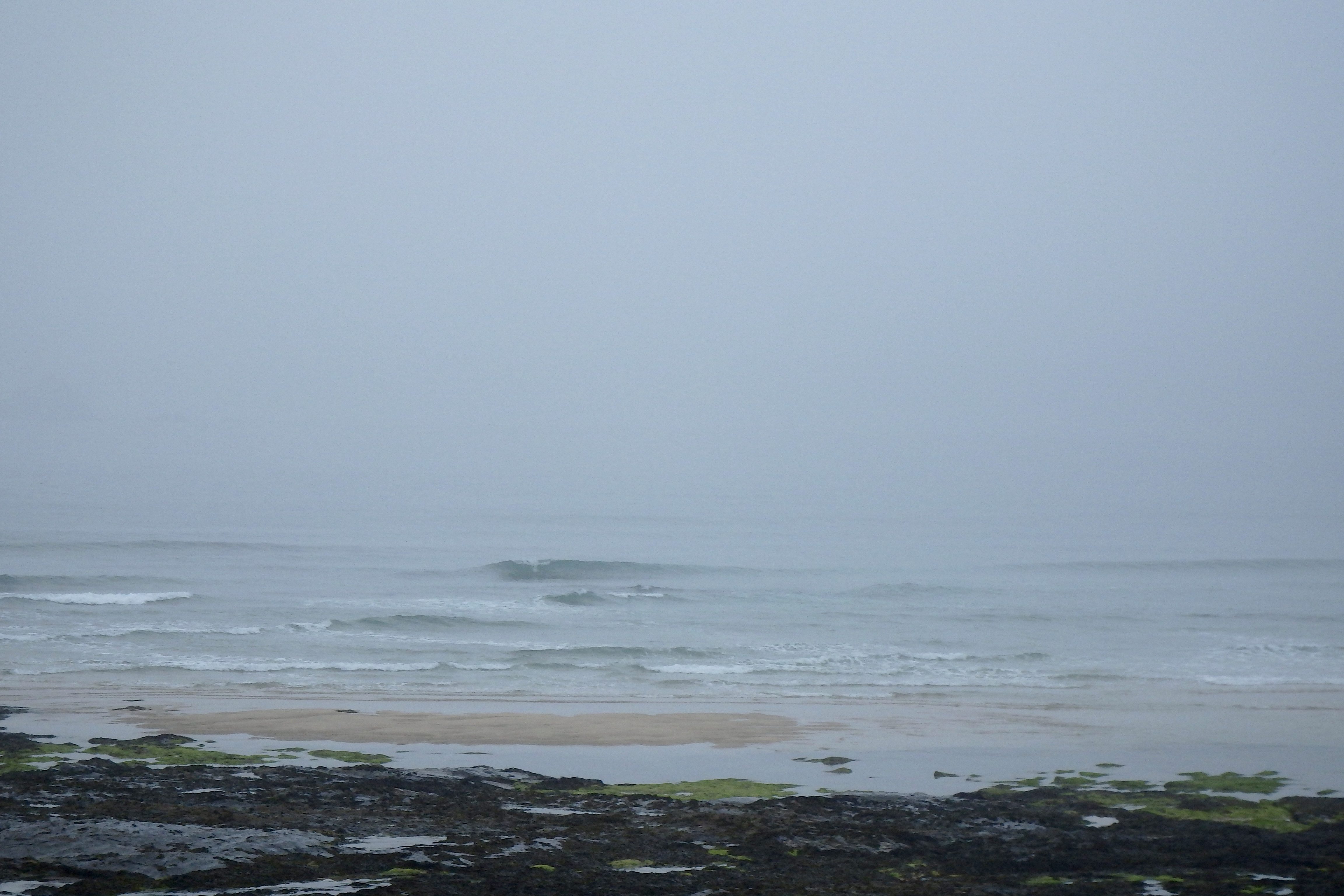
A foot or maybe two of oilly glassy little waves are lazily sauntering onto those lowtide sandbars before smoothly peeling across the foreshore.
The breeze is forecast to stay light, a westerly air maybe strong enough later to move some of this dullness.
Another day of small wave longboard gliding awaits!
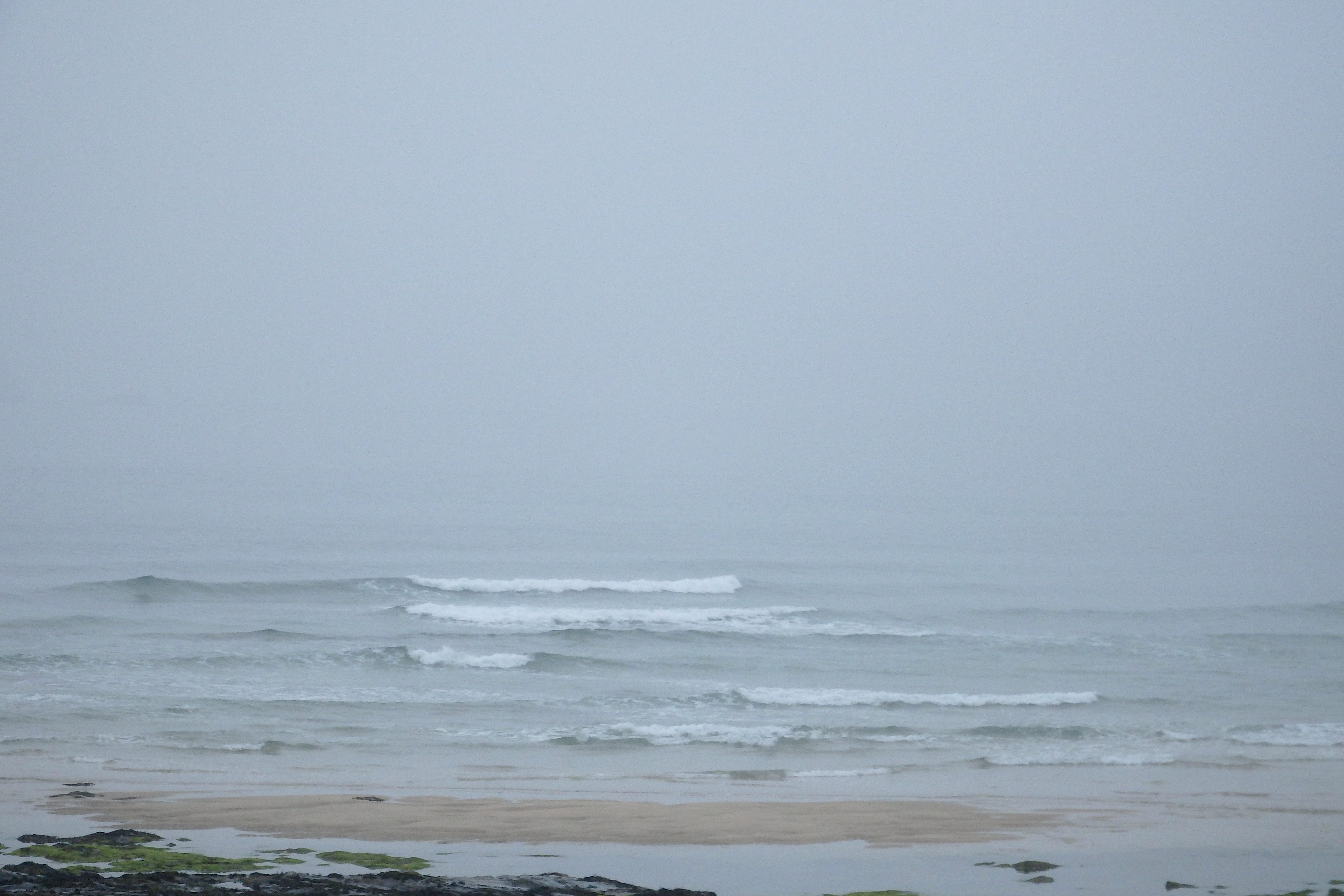
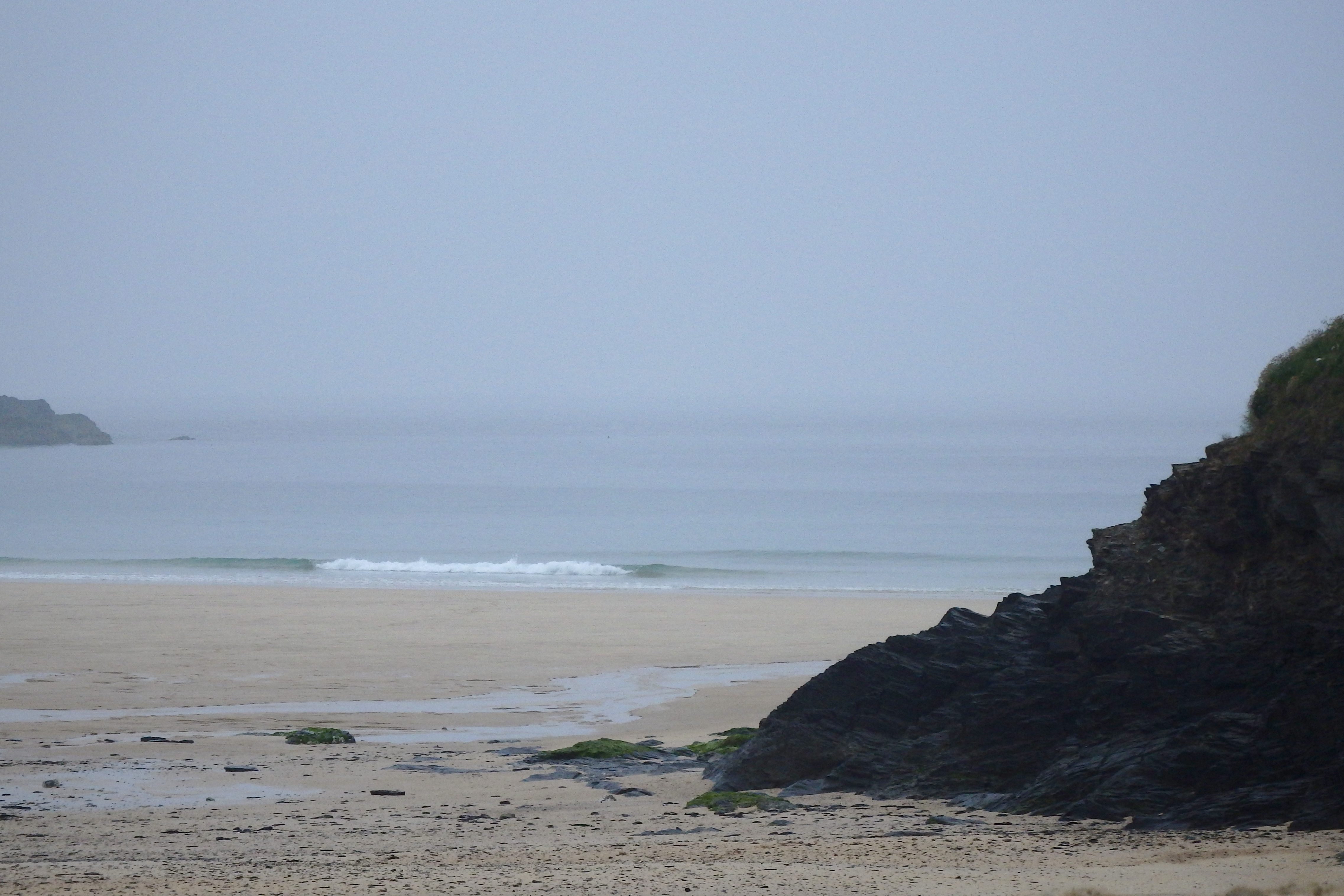
Harlyn (0*): Flat.
It is flat around here this morning with only tiny little ripples gliding to the sand through the murk and mizzle of a mild summer’s morning.
No, there’s no surf to ride here today!
Today’s Tide Times:
Low Tide: 17:01 (2.1m) High Tide: 10:43 (6.1m)

Surf Forecast for Sunday 12th June 2016
A fresher westerly wind should push a couple to three feet of bumpy swell our way through today. The surf should build a little through to the midday high tide and might continue to build into the evening but only very slowly and it will be much lumpier and sloppier than we have enjoyed for a little while now.
Still, there should be some fun waves to drop in on and the water temperature is starting to rise making those casual surfs a more enjoyable thing.
Surf Conditions for the Weekend
These small but regular little swells are expected to continue to roll our way all the way through the end of this week and into the weekend.
Those beautifully clean and glassy conditions of the end of the week will gradually be replaced by more onshore conditions as the weekend settles in, the breeze slowly becoming something just a bit stronger.
By Saturday night or Sunday morning we could be seeing a fresher westerly wind starting to push a little more swell our way, resulting in some three to four foot surf by Sunday afternoon.
We might even be surfing Harlyn by Sunday evening!
But generally the weather should be bright enough with the surf getting bigger as the weekend unfolds.
Have a great weekend, wherever you are and whatever you’re doing!
SJ’s Surf Forecast for the SW
Forecast last updated at 08:40 Saturday 11th June 2016
Hi everyone – these updates are currently made at any time of the day as and when I get the time/chance to update – however from September the intention would be for it to be updated every weekday morning by 10am.
[Don’t forget to look at this forecast the day before you go beach for the latest, as things can often change!]
The Rest Of The Week:
‘Some waves about all week, but it will depend on the winds on when you get in.’
Sunrise and sunset – 05:10 and 21:30
Twilight starts and ends – 04:25 and 22:15
Midday – 13:20
Length of day – 16:20
Offshore Sea Temp approx – 14C / 57F
outputmodelrun-100616-0830
Monday 6th:
‘Great day for surf – gets bigger and cleaner/glassier as the day goes on.’
Swell – (i) Medium W-WSW going Strong WSW
Wind – Light-Medium E-SE going Light Variable
Weather – Mixture of cloud and sunny spells
North Coast – 3ft (Waisthigh) going 4ft (Chesthigh)
South Coast – 1ft
Tides – 06:38 High, 13:00 Low, 18:59 High (Spring tides)
Tuesday 7th:
‘A good wave but with light onshores by afternoon. Should still be good though, especially in the sun.’
Swell – (i) Medium going Weak WSW
Wind – Light Variable going NW
Weather – Gloriously bright, with some cloud and sunny spells
North Coast – 4-6ft (Chest-Headhigh) going 3-4ft (Waist-Chesthigh)
South Coast – 1ft going Flat
Tides – 07:25 High, 13:47 Low, 19:45 High
Wednesday 8th:
‘Small wave with a light crosshore Northerly wind.’
Swell – (i) Medium going Weak WSW
Wind – Light N
Weather – Cloudy start but with plenty of sunny spells by the afternoon
North Coast – 3ft (Waisthigh) going 2-3ft (Knee-Waisthigh)
South Coast – Flat
Tides – 08:12 High, 14:32 Low, 20:31 High
Thursday 9th:
‘A good clean wave with well defined lulls and sets. Will build further still on the tidal push late afternoon. Royal Cornwall Show starts today!’
Swell – (i) Medium WSW
Wind – Light E-SE going Light-Medium SE
Weather – Cloudy but dry and warm, maybe the odd sunny spell
North Coast – 2-3ft (Knee-Waisthigh) going 3-4ft (Waist-Chesthigh)
South Coast – 1ft
Tides – 08:57 High, 15:17 Low, 21:16 High
Friday 10th:
‘Small good clean/OK waves on the North. Noticeably colder as the change in weather systems kicks in – bye bye tshirts! Make the most of it before it all goes a bit ‘meh’!’
Swell – (i) Medium going Weak WSW
Wind – Light-Medium E-SE going Light S-SW
Weather – Overcast with rain showers
North Coast – 3-4ft (Waist-Chesthigh) going 3ft (Waisthigh)
South Coast – 1ft
Tides – 09:43 High, 16:02 Low, 22:03 High
Weekend Summary:
‘Small on Saturday, and then on Sunday sheltered spots could work.’
Saturday 11th:
‘Small onshore sloppy mush. Leave it to beginners; go chew some straw at the Royal Cornwall Show instead!’
Swell – (i) Weak W-WSW
Wind – Light-Medium W going SW
Weather – Cloudy with the odd rain shower. Should brighten up slightly in the afternoon
North Coast – 3ft (Waisthigh) going 2-3ft (Knee-Waisthigh)
South Coast – 1ft (Flat) going 1-2ft (Kneehigh)
Tides – 04:36 Low, 10:32 High, 16:52 Low (Neap tides)
Sunday 12th:
‘A return to more choppy onshore surf for the North that’ll build throughout the day. Not great for surf though with no quality to the swell, and could be a busy one for the lifeguards as people/swimmers get caught out. Sheltered spots should be working a smaller but OK cleanish wave.’
Swell – (i) Weak W-WSW
Wind – Medium W
Weather – Mixture of cloud, sunshine, and rain showers
North Coast – 3-4ft (Waist-Chesthigh) going 4-6ft (Chest-Headhigh)
South Coast – 1-2ft (Kneehigh) going 2-3ft (Knee-Waisthigh)
Tides – 05:15 Low, 11:15 High, 17:30 Low (Neap tides)
Early Next Week:
‘Wet and windy. A return to slightly cooler weather with a low pressure zone heading in drawing down cooler air, but not much in the way of good/clean waves. Rain expected throughout the week. The latest shows Wednesday/Thursday could get a ‘window’ of light winds so that’ll be the day for surf if you do go.’
The scale for measuring conditions:
0-1ft – Unridable/Flat
1-2ft – Kneehigh
3ft – Waisthigh
4-5ft – Chest/Shoulderhigh
6ft – Headhigh
6-8ft = 1-1.5x Overhead
8-10ft = 1.5x Overhead
10-12ft = 2x Overhead
Please Note!
Wave height predictions are based on the larger breaks on both coasts such as Fistral and Croyde for the North, and Praa Sands and Bantham for the South.
Wave height is measured from the front of the wave, and 6ft would usually mean a ‘head-high’ wave.
Try and use some ‘local’ knowledge about what the wave sizes will be elsewhere. For example the Newquay Bay area is generally 1/3 to 3/4 the size of Fistral, increasing the further up the bay you go from Towan to Lusty Glaze, and that it will be clean on a W wind at ‘harbour left’ at Towan at mid-tide’ for example.
Tide times are based on Newquay.
Stay Stoked!
SJ