At 6.05 a.m:
Constantine (1*): 1 to 2 feet.
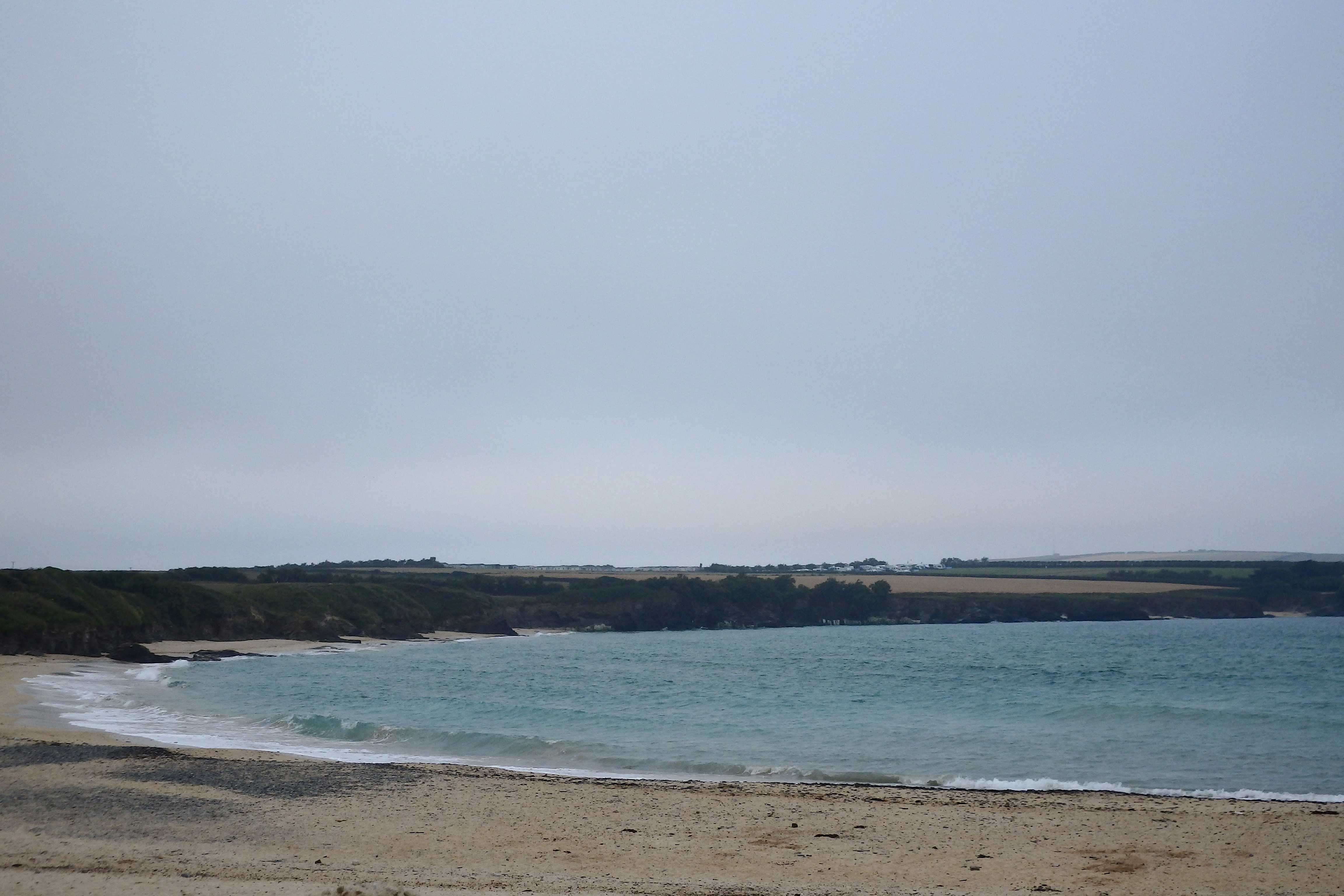
Well, it was beautiful while it lasted! And now it’s all back to normal.
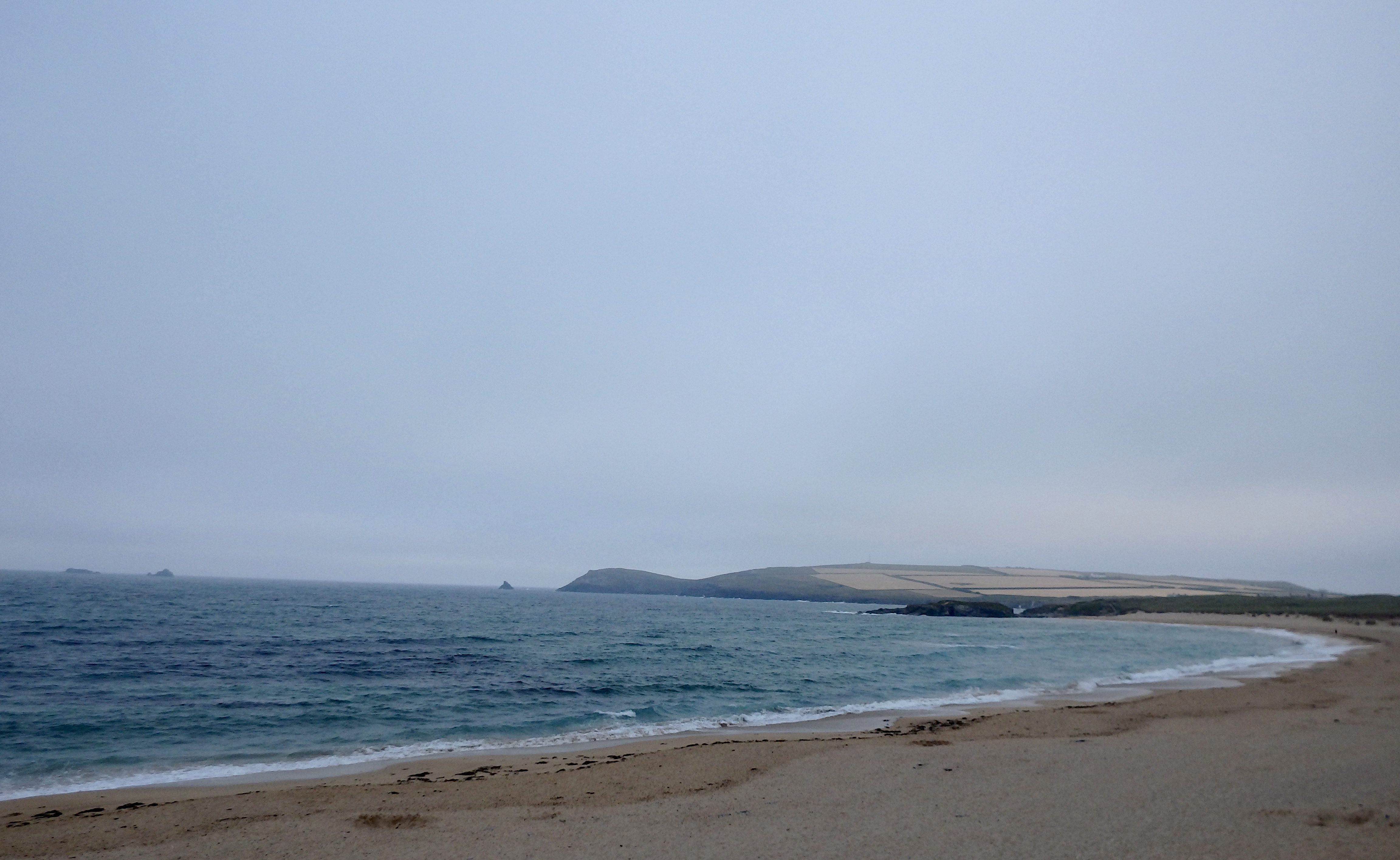
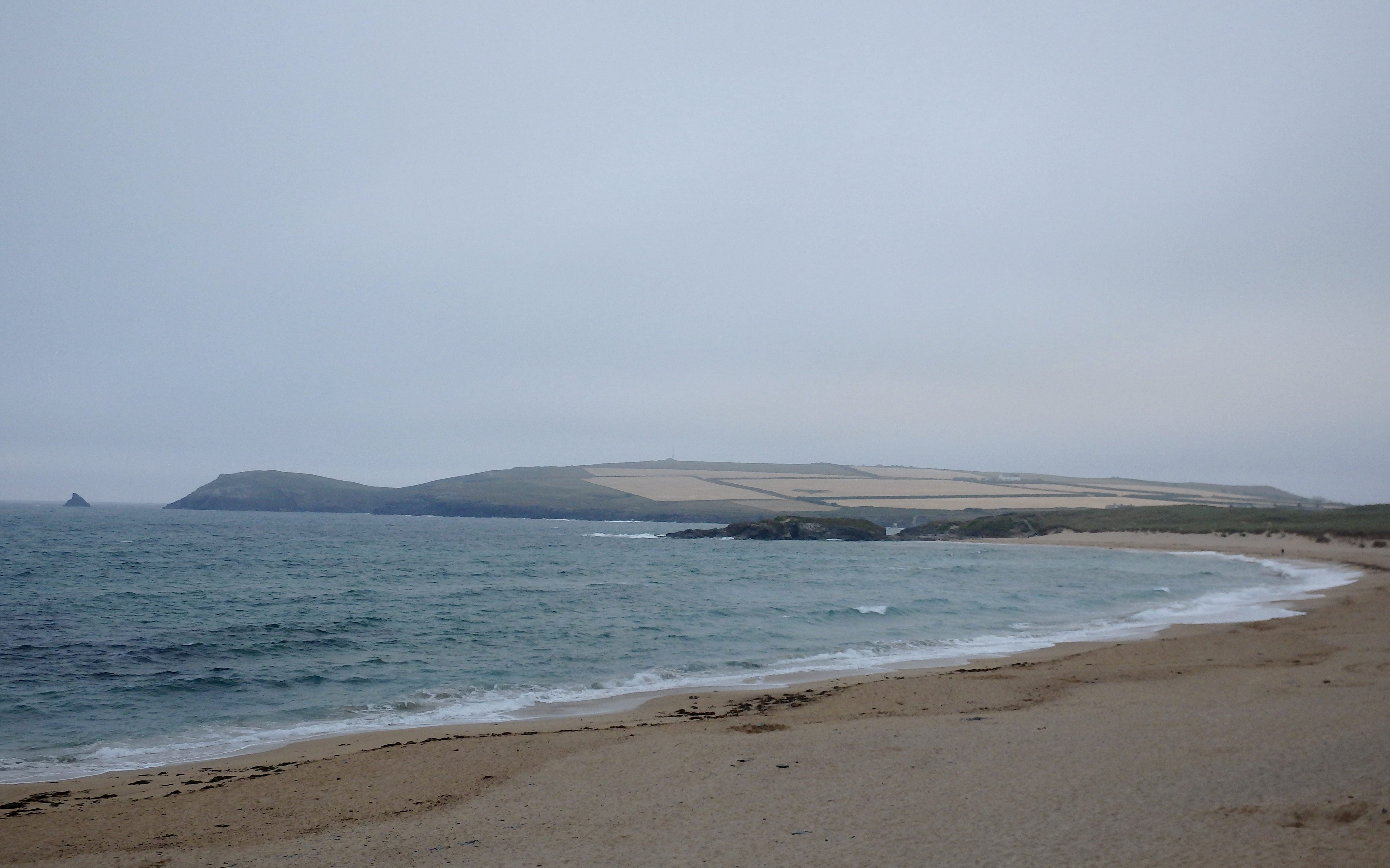
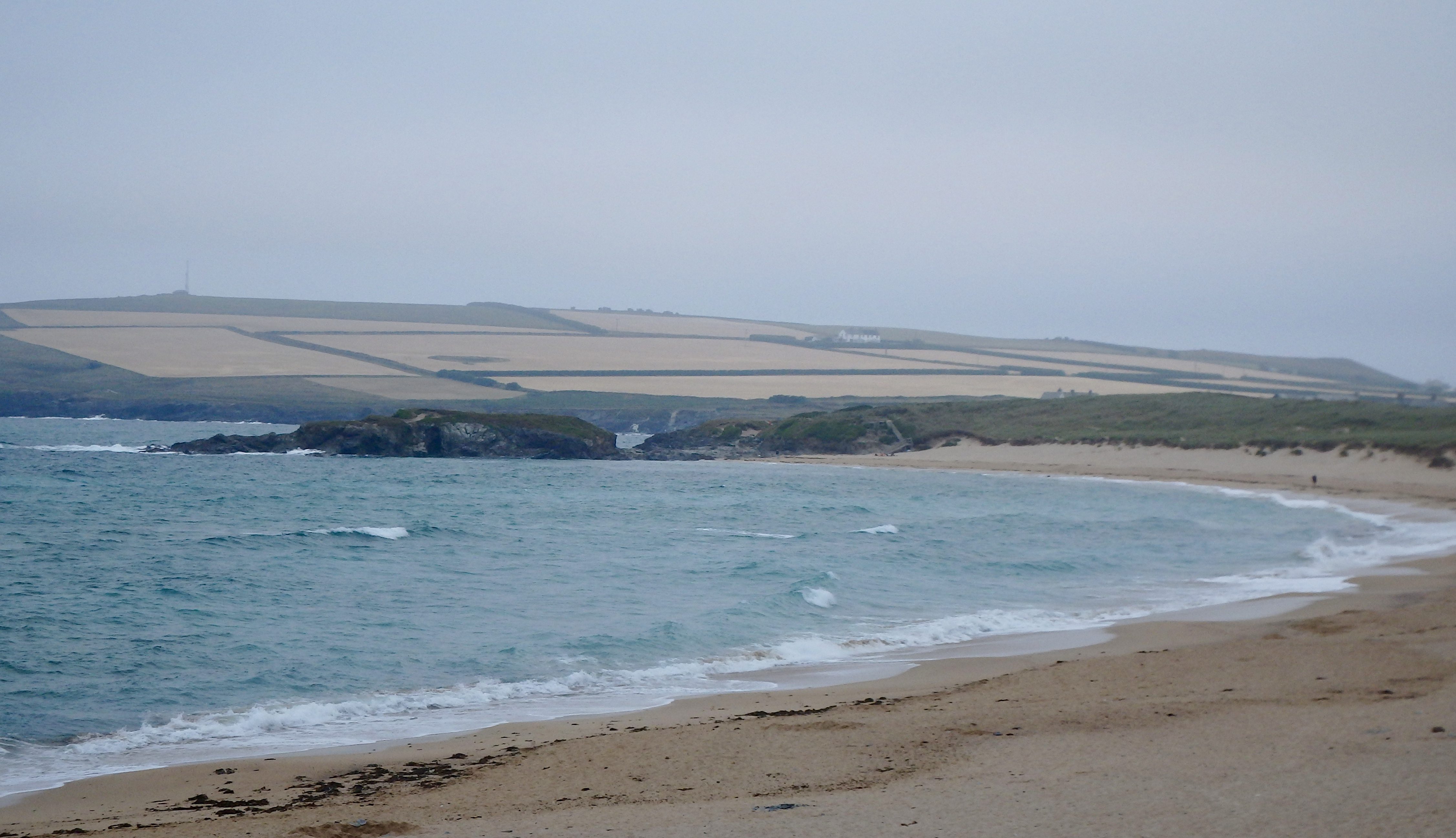
A bit of an overcast morning is greeting us this morning, a blanket of low cloud covering us from one horizon to the other, a fresher wind blowing steadily from the west, fresher but still very mild.
The surf is tiny, tiny and ruffled and sloppy, that onshore wind having its effect.
This wind should push a little extra swell our way, only a little though and it is mainly going to be windslop too. But the water temperature is mild and those little waves will bounce some ramps our way, so the young guys are going to have some fun!
Harlyn (0*): 0 to 1 foot
It is pretty much flat around here this morning, a dribble of lightly chopped and ruffled little waves washing ashore at high tide.
The forecast is showing a little increase in size but it is likely to be nothing more than weak and wishy washy, very, very small windslop.
Today’s Tide Times:
Low Tide: 12:52 (1.2m) High Tide: 18:46 (7.2m)

Surf Forecast for Thursday 21st July 2016
The wind is likely to have slipped to the south west for today, helping the small and weak surf to limp ashore. So we are likely to be enjoying a couple to three feet of sloppy and choppy and still weak little surf.
Surf Conditions for the Rest of the Week
That brief spell of scorching weather looks to be well behind us now as the winds return to onshore and those little weather fronts bounce along our coastline.
The breeze has now settled back to the west, onshore but only lightly onshore. And that should at least support those little swells and keep them rolling our way.
That wind will stay onshore through the end of the week and all the way into the weekend, twitching from south west to north westerly and back again.
So, we can only hope to enjoy a couple to three feet of onshore blown surf through the end of the week and into the weekend.
Have a great week, wherever you are and whatever you’re doing!
SJ’s Surf Forecast for the SW
Forecast last updated at 09:30 Wednesday 20th July 2016
Hi everyone – these updates are currently made at any time of the day as and when I get the time/chance to update – however from September the intention would be for it to be updated every weekday morning by 10am.
[Don’t forget to look at this forecast the day before you go beach for the latest, as things can often change!]
The Rest Of The Week:
‘Fantastic start to the week – make the most of this classic Summer spell before conditions deteriorate!’
Sunrise and sunset – 05:35 and 21:20
Twilight starts and ends – 04:55 and 22:00
Midday – 13:25
Length of day – 15:45
Offshore Sea Temp approx – 16.5C / 62F
outputmodelrun-200716-0915
Monday 18th:
‘Stunning day. Surf will be going off. Get on it!’
Swell – (i) OK W going Weak W-WNW
Wind – Light-Medium ESE-SE
Weather – Hot summery blue sky day.
North Coast – 3ft (Waisthigh) going 2-3ft (Knee-Waisthigh)
South Coast – 1ft
Tides – 11:13 Low, 17:09 High
Tuesday 19th:
‘Smaller than Monday, but with offshores and sunny weather – it’ll still be a great day. Wind strength will decrease throughout the day with light/variable conditions and a potential glass off around sunset. Will build slighlty during the day, especially on the tidal push this afternoon.’
Swell – (i) Weak going OK W-WNW
Wind – Medium SE going Light Variable around sunset
Weather – Hot Summery blue sky day. Clouding over in the evening.
North Coast – 1-2ft (Kneehigh) going 2-3ft (Knee-Waisthigh)
South Coast – 1-2ft (Kneehigh) going 1ft
Tides – 05:29 High, 11:51 Low, 17:48 High
Wednesday 20th:
‘A return to onshore conditions for the North with WNW winds and cloudier skies. There will be waves, but onshore/messy.’
Swell – (i) OK W-WNW
Wind – Medium going Light-Medium WWNW
Weather – Chance of thunder/rain first thing, then a mixture of cloud and sunshine.
North Coast – 1-3ft (Knee-Waisthigh) going 3ft (Waisthigh)
South Coast – 1ft
Tides – 06:08 High, 12:29 Low, 18:27 High
Thursday 21st:
‘There’ll be waves aplenty on the North,but they’ll lack any real qulity with the SW winds.’
Swell – (i) OK W-WNW going Weak W
Wind – Light-Medium WSW-SW going SW
Weather – Cloudy and dry, with the odd sunny spell. Feeling cooler/fresher, but still warm.
North Coast – 3ft (Waisthigh)
South Coast – 1-2ft (Kneehigh)
Tides – 06:47 High, 13:07 Low, 19:07 High
Friday 22nd:
‘A clean wave on the North first thing around the high/dropping tide at main/semi sheltered spots. Winds will turn onshore NW later on though.’
Swell – (i) Weak W-WSW
Wind – Light-Medium S going NW
Weather – Mixture of cloud, sunshine, and showers likely later on.
North Coast – 3ft (Waisthigh) going 1-3ft (Knee-Waisthigh)
South Coast – 1ft
Tides – 07:28 High, 13:49 Low, 19:48 High
Weekend Summary:
‘Poor quality waves with a weak swell and onshore conditions, but at least it won’t be flat.’
Saturday 23rd:
‘Onshore sloppy surf. However, depending how light the winds go, it could improve slightly.’
Swell – (i) Weak W
Wind – Light W-NW going Light-Medium WSW
Weather – Cloudy but dry.
North Coast – 2-3ft (Knee-Waisthigh)
South Coast – 1ft
Tides – 08:09 High, 14:31 Low, 20:31 High
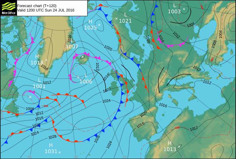
Sunday 24th:
‘SW winds and a weak swell will mean not much quality to the surf, but at least it won’t be flat.’
Swell – (i) Weak W
Wind – Light-Medium SW going W-SW
Weather – Cloudy with a chance of rain.
North Coast – 2-3ft (Knee-Waisthigh)
South Coast – 1-2ft (Kneehigh)
Tides – 08:52 High, 15:14 Low, 21:15 High
Early Next Week:
‘Too early to tell yet.’
The scale for measuring conditions:
0-1ft – Unridable/Flat
1-2ft – Kneehigh
3ft – Waisthigh
4-5ft – Chest/Shoulderhigh
6ft – Headhigh
6-8ft = 1-1.5x Overhead
8-10ft = 1.5x Overhead
10-12ft = 2x Overhead
Please Note!
Wave height predictions are based on the larger breaks on both coasts such as Fistral and Croyde for the North, and Praa Sands and Bantham for the South.
Wave height is measured from the front of the wave, and 6ft would usually mean a ‘head-high’ wave.
Try and use some ‘local’ knowledge about what the wave sizes will be elsewhere. For example the Newquay Bay area is generally 1/3 to 3/4 the size of Fistral, increasing the further up the bay you go from Towan to Lusty Glaze, and that it will be clean on a W wind at ‘harbour left’ at Towan at mid-tide’ for example.
Tide times are based on Newquay.
Stay Stoked!
SJ